
McClellan Airfield in Sacramento County, California
McClellan Airfield in Sacramento County is an airfield (IATA: MCC, ICAO: KMCC). McClellan Airfield is also known as MCC. Ⓦ.
Image
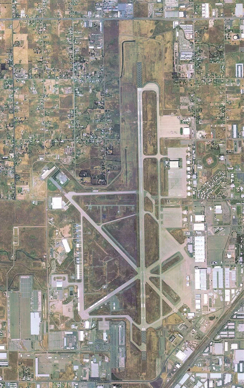
Streets nearby
Dudley BoulevardDudley + Palm, Dudley + Peacekeeper
350 ft
46th Street400 ft
West Bailey Loop0.1 mi
48th Street0.1 mi
43rd Street0.1 mi
Bailey Loop0.2 mi
Howard StreetBadfish, Sherwood Florist
0.2 mi
Myrtle AvenueTaco Bell, Myrtle + Auburn, Myrtle + College Oak, North Highlands Community Church of God in Christ, 7-Eleven
0.2 mi
Luce Avenue0.2 mi
McClellan Mall0.3 mi
Roseville RoadPanda Express, Starbucks, Pizza Hut, Togo's, BAM Hair Nails Salon, Citrus Heights, Chevron, Burger King, Food Mart, 7-Eleven, Roseville + Antelope, Walerga, Auto Glass Now, Galleherduffy Flooring Store, Miracle Method, Motive Car Care, Jack in the Box, Sky Smoke Shop, Taste of Tuscany, Martha's Taqueria, Kiki's Chicken Place, Caliber Collision, Enterprise, Extra Space Storage, Utopia Autobody, Inc., Grand Kitchen & Bath Depot, Inc, Golden State Fire, Gates & Controls, ProColor Collision Sacramento North East, Tower Mart
0.3 mi
Arnold Avenue0.3 mi
Roberts Avenue0.4 mi
Buildings nearby
Building 34450 ft
Building 368350 ft
Building 343400 ft
Building 360500 ft
Building 3580.1 mi
Building 3690.1 mi
Building 3510.1 mi
Building 3380.1 mi
Building 3530.2 mi
Building 3550.2 mi
NV Communications Inc0.2 mi
Building 3390.2 mi
Building 3540.2 mi
Building 3470.2 mi
Building 3100.2 mi
Building 3350.2 mi
Building 3360.2 mi
Building 2710.3 mi
Building 2640.3 mi
Building 263F0.3 mi
Building 2630.3 mi
Building 2320.3 mi
Building 270.3 mi
Building 240.3 mi
Building 230.3 mi
Building 2690.4 mi
Building 2500.4 mi
Building 260.4 mi
Building 2090.4 mi
Building 262B0.4 mi
Building 2430.4 mi
Hangars nearby
Building 3650.2 mi
Building 3620.2 mi
Railways nearby
UP Martinez Subdivision0.1 mi
Service buildings nearby
Building 2330.2 mi
Shelters nearby
Building 2670.3 mi
| Elevation | 77 |
|---|---|
| Located in | California |
| Country | United States |
| Website | http://www.flykmcc.com |
 Public transit map Sacramento County Legend
| Railway | |
| Bus | |
| Streetcar |
 Bicycle map Sacramento County Legend
| Bike path | |
| Bike lane on roadway | |
| Cycling allowed on bus lane | |
| Bicycle street | |
| Open to cyclists | |
| Open to cyclists, good path | |
| Cycling prohibited | |
| Cobblestone |
| Long-distance bike route | (depending on scale) | |
| Long-distance bike route |
 Pedestrian map Sacramento County Legend
| Path |
| Long-distance hiking trail | (depending on scale) | |
| Long-distance hiking trail | ||
| Pedestrians prohibited |