
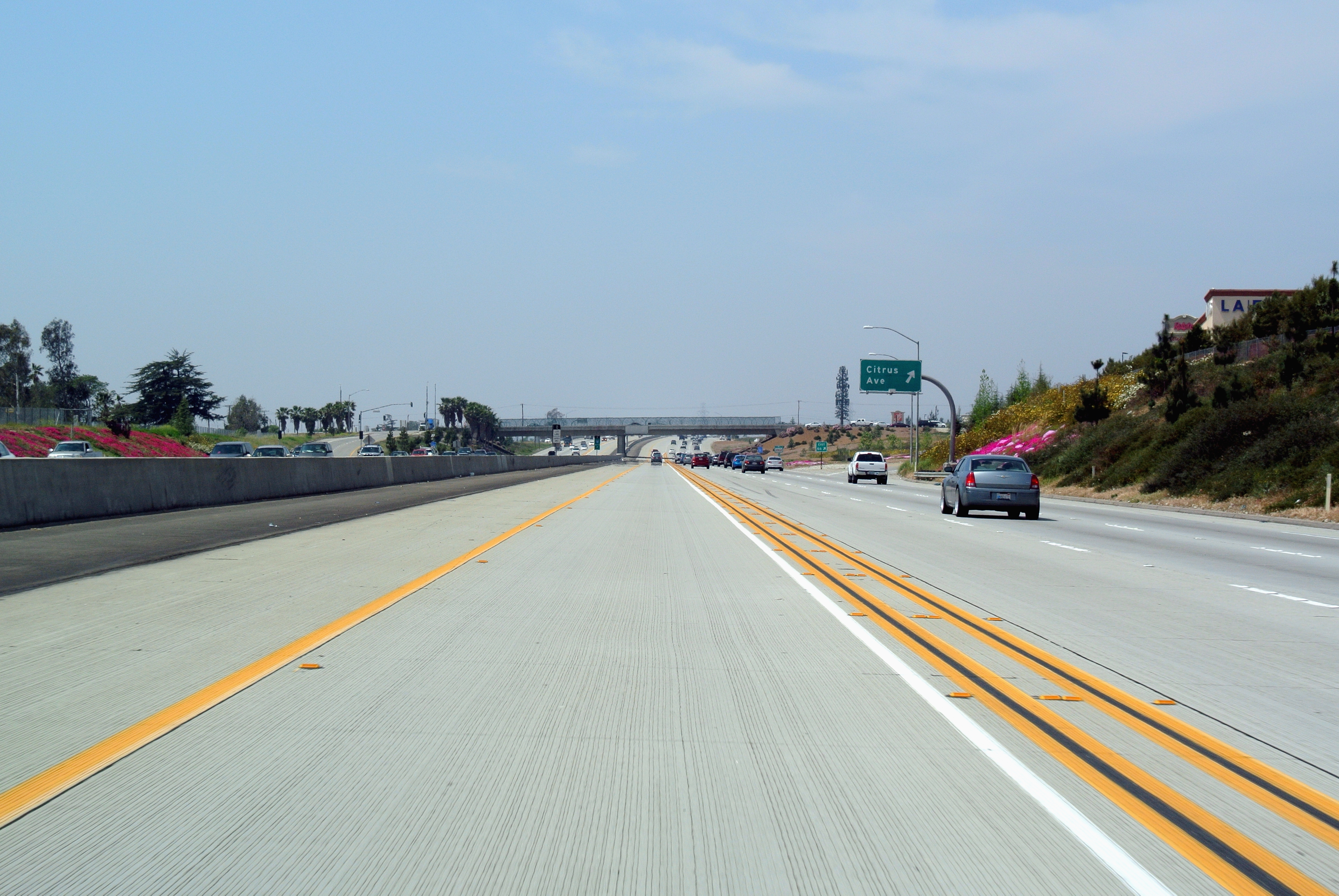
South Highland Avenue in Fontana, California
South Highland Avenue in Fontana is a local road. It runs in an east-west direction starting from Cherry Avenue and crosses San Sevaine Road, Arcade Way, Hemlock Avenue, Post Lane, Wild Lane, Beech Avenue, Lear Lane, Gilfillan Drive, Piper Lane, Knox Avenue and Almeria Avenue. It connects Fontana, The Landings and Walnut Village. Nearby you can find a gas station, a cafe and a post office. The nearest bus stop is Sierra Lakes Parkway @ Tiburon Eastbound (about 500 m away). South Highland Avenue also exists in San Joaquin County, Los Angeles County, Mendocino County and Fresno County.
- Road Type
- local road
- Speed Limit
- 45 mph
- Route
- east-west
Image
Streets nearby
Auto Center Drive0.2 mi
Foothill FreewayCostco Gasoline
0.2 mi
Cypress AvenueCitrus High School
0.2 mi
Tiburon Way0.3 mi
Mirabelle Way0.3 mi
Westmoor Place0.3 mi
Pacheco Court0.3 mi
Picardy Place0.4 mi
El Revino Drive0.4 mi
Biltmore Way0.4 mi
Oleander AvenueOleander Elementary School
0.4 mi
Highland Avenue0.4 mi
Sun Glory Way0.4 mi
Walnut StreetWalnut @ Sierra Westbound, Walnut @ Juniper Westbound, Walnut @ Juniper Eastbound, Walnut @ Oleander Westbound, Walnut @ Oleander Eastbound
0.4 mi
Sierra Lakes ParkwaySan Antonio Fontana Urgent Care, Sierra Lakes Parkway @ Augusta Eastbound, Starbucks, Chipotle, Great Clips, Sierra Lakes Parkway @ Tiburon Eastbound, Subway, Menchie's, Panda Express, Sierra Lakes Dental Group and Orthodontics, Sierra Lakes Parkway @ Citrus Eastbound
0.4 mi
Car dealerships nearby
Rock Honda400 ft
ROTOLO CHEVROLET0.1 mi
Fontana Nissan0.2 mi
Fontana Chrysler, Dodge, Jeep, Ram0.4 mi
Valley KIA0.4 mi
Clinics nearby
Sierra San Antonio Medical Plaza0.3 mi
Fast food restaurants nearby
Carl's Jr.0.3 mi
Fitness centers nearby
LA Fitness0.4 mi
Retail areas nearby
Sierra Lakes Village0.4 mi
School buildings nearby
T Building0.3 mi
Gymnasium0.3 mi
C Building0.3 mi
P20.3 mi
P30.3 mi
AD Building0.3 mi
P40.3 mi
P70.3 mi
P80.4 mi
P140.4 mi
P150.4 mi
P90.4 mi
P100.4 mi
P110.4 mi
P120.4 mi
FL Building0.4 mi
P130.4 mi
A Building0.4 mi
I Building0.4 mi
F Building0.4 mi
BC Building0.4 mi
M Building0.4 mi
H Building0.4 mi
Q building0.4 mi
Wholesale stores nearby
Costco0.2 mi
Public transit map Fontana Legend
| Railway | |
| Bus | |
| Streetcar |
Bicycle map Fontana Legend
| Bike path | |
| Bike lane on roadway | |
| Cycling allowed on bus lane | |
| Bicycle street | |
| Open to cyclists | |
| Open to cyclists, good path | |
| Cycling prohibited | |
| Cobblestone |
| Long-distance bike route | (depending on scale) | |
| Long-distance bike route |
Pedestrian map Fontana Legend
| Path |
| Long-distance hiking trail | (depending on scale) | |
| Long-distance hiking trail | ||
| Pedestrians prohibited |