
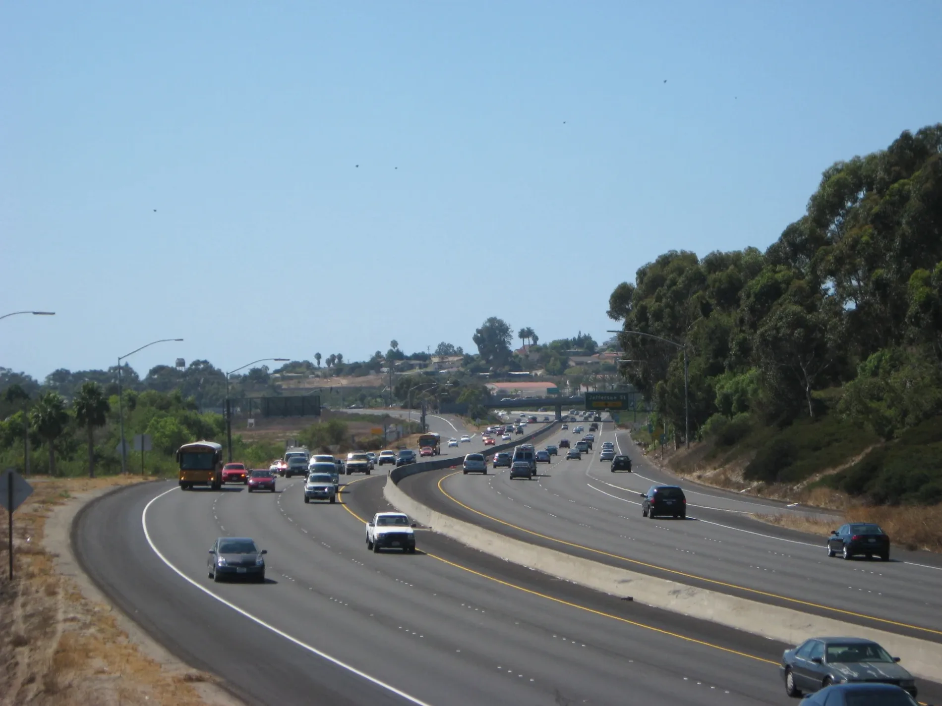
South El Camino Real in Oceanside, California
South El Camino Real in Oceanside is a concrete main road. The street has bike paths (bike lane) in some sections. It crosses a bridge. It runs in a north-south direction and crosses Camino Town, Via Las Rosas, Basel Street, Fire Mountain Drive, Industry Street, Oceanside Boulevard, Mesa Drive, Vista Oceana, Vista Rey, Mission Avenue, North El Camino Real and Skyline Drive. This street is part of the highway "S11" as well as the Hiking trail "California Mission Trail - stage 01 Mission San Diego de Alcalá (1769) to Mission San Luis Rey (1798)". Nearby you can find a fast food restaurant, a bar, a convenience store and a place of worship. The nearest bus stop is Visat Way & El Camino Real (about 300 m away). South El Camino Real also exists in Encinitas.
- Road Type
- main road
- Lanes
- 8
- Speed Limit
- 55 mph
- Route
- north-south
Image
Fast food restaurants
Convenience stores
Streets nearby
El Camino RealBanks nearby
San Diego County Credit UnionCafes nearby
StarbucksCommercial buildings nearby
Plaza Camino RealDentist's offices nearby
Plaza Family Dental GroupDepartment stores nearby
TargetFast food restaurants nearby
Del TacoGolf courses nearby
El Camino Country ClubHotels nearby
Extended Stay America - San Diego - OceansideMotels nearby
Quality Inn & Suites Oceanside Near Camp PendletonMovie theaters nearby
Regal Cinemas Carlsbad 12Restaurants nearby
Texas RoadhouseSports fields nearby
Carlsbad Golf Center (Driving Range)Supermarkets nearby
VonsTire dealers nearby
Discount Tire| Railway | |
| Bus | |
| Streetcar |
| Bike path | |
| Bike lane on roadway | |
| Cycling allowed on bus lane | |
| Bicycle street | |
| Open to cyclists | |
| Open to cyclists, good path | |
| Cycling prohibited | |
| Cobblestone |
| Long-distance bike route | (depending on scale) | |
| Long-distance bike route |
| Path |
| Long-distance hiking trail | (depending on scale) | |
| Long-distance hiking trail | ||
| Pedestrians prohibited |