
El Camino Real in Paso Robles, California
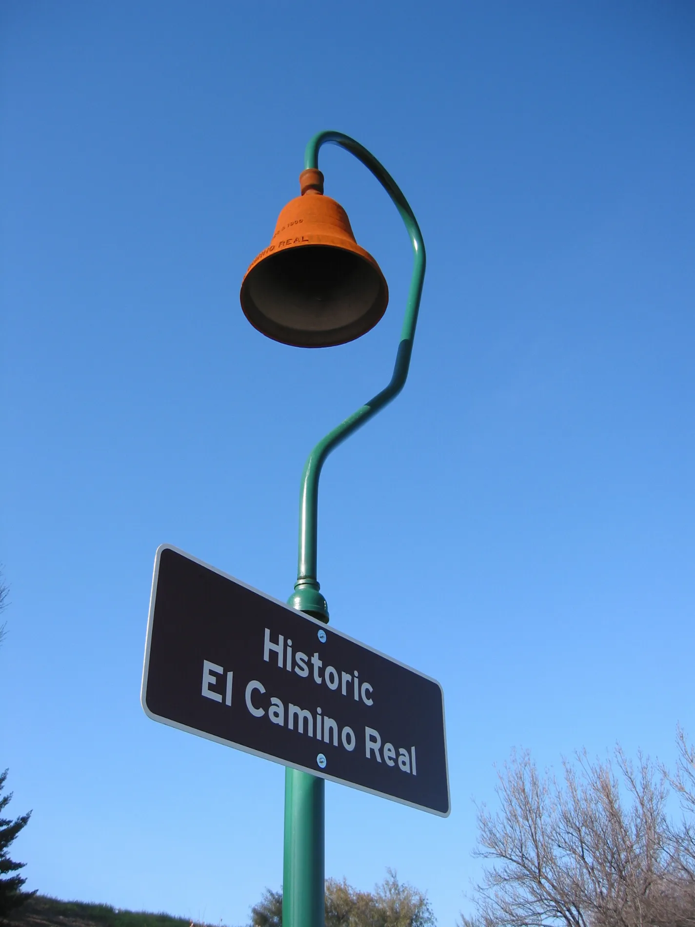
El Camino Real in Paso Robles is a two-lane, asphalted highway (Road number US 101;CA 46) and crosses a bridge and runs in a north-south direction. El Camino Real is also known as The King's Highway. This street is part of the highways 101, 46 and Juan Bautista de Anza National Historic Trail Auto Tour Route. Nearby you can find a fast food restaurant and a restaurant. The nearest bus stop is Theatre at Gahan (about 250 m away). El Camino Real also exists in Arroyo Grande, Pismo Beach and Atascadero. Ⓦ.
- Bicycle
- no
- Road Type
- highway
- Lanes
- 2
- Speed Limit
- 65 mph
- Route
- north-south
Streets nearby
Green Valley Road150 ft
Bike Path350 ft
Wine Country WayJack in the Box, J & L Wines
400 ft
Calle Propano450 ft
Alexa Court550 ft
Ramada DriveFood Mart
0.1 mi
Theatre DriveTheatre at Gahan, Outdoor Supply Hardware, Theatre & Via Santa Barbara, Starbucks, Jersey Mike's Subs, Target Shopping Center, Verizon, Johnson Family Dental, Mattress Firm, Blaze Pizza, Five Below, Dollar Tree, Sky Nails Spa, See's Candies, El Rinconcito
0.2 mi
Gahan Place0.3 mi
Alice Place0.4 mi
Fortini WayBevMo!, Ross, Petco, Ultra Cosmetics, Famous Footwear, Michaels
0.4 mi
South Vine Street0.4 mi
Wilmar Place0.4 mi
Vendels Circle0.5 mi
Paint Horse Place0.6 mi
Del Sol Place0.6 mi
Cuerno Largo Way0.6 mi
Twelve Oaks Drive0.8 mi
Ambush Trail Place0.8 mi
Shops nearby
Storage 1010.4 mi
Auto repair shops nearby
Mom's Muffler0.6 mi
Buildings nearby
Knight's Carpets & Interiors0.2 mi
Firestone Walker Brewing Company0.4 mi
Keg Shed0.5 mi
Marketing0.5 mi
Malt House0.5 mi
BC Office0.6 mi
Barracks0.6 mi
Apparatus / Office0.6 mi
Apparatus / Wash Rack0.6 mi
Fuel0.6 mi
Generator / Storage0.6 mi
Storage0.6 mi
Car dealerships nearby
Paso Robles Chevrolet0.6 mi
Convenience stores nearby
ampm550 ft
Fast food restaurants nearby
McDonald's0.1 mi
Carl's Jr.0.3 mi
El Pollo Loco0.5 mi
Garden centers nearby
Farm Supply0.5 mi
Gas stations nearby
Arco400 ft
Chevron450 ft
Gas utilities nearby
Propane0.6 mi
Hotels nearby
La Bellasera Hotel & Suites0.1 mi
Hampton Inn0.2 mi
Motels nearby
River Lodge Motel0.1 mi
Places of worship nearby
New Day Church0.2 mi
Railways nearby
UP Coast Subdivision0.2 mi
Restaurants nearby
Applebee's0.5 mi
Firestone Walker Taproom Restaurant0.5 mi
Retail areas nearby
The Crossings at Paso Robles0.4 mi
| Located in | San Francisco |
|---|---|
| Country | United States |
| Connects with | San Tomas Expressway, Page Mill Road, De La Cruz Boulevard, South Valley Freeway |
Public transit map Paso Robles Legend
| Railway | |
| Bus | |
| Streetcar |
Bicycle map Paso Robles Legend
| Bike path | |
| Bike lane on roadway | |
| Cycling allowed on bus lane | |
| Bicycle street | |
| Open to cyclists | |
| Open to cyclists, good path | |
| Cycling prohibited | |
| Cobblestone |
| Long-distance bike route | (depending on scale) | |
| Long-distance bike route |
Pedestrian map Paso Robles Legend
| Path |
| Long-distance hiking trail | (depending on scale) | |
| Long-distance hiking trail | ||
| Pedestrians prohibited |