
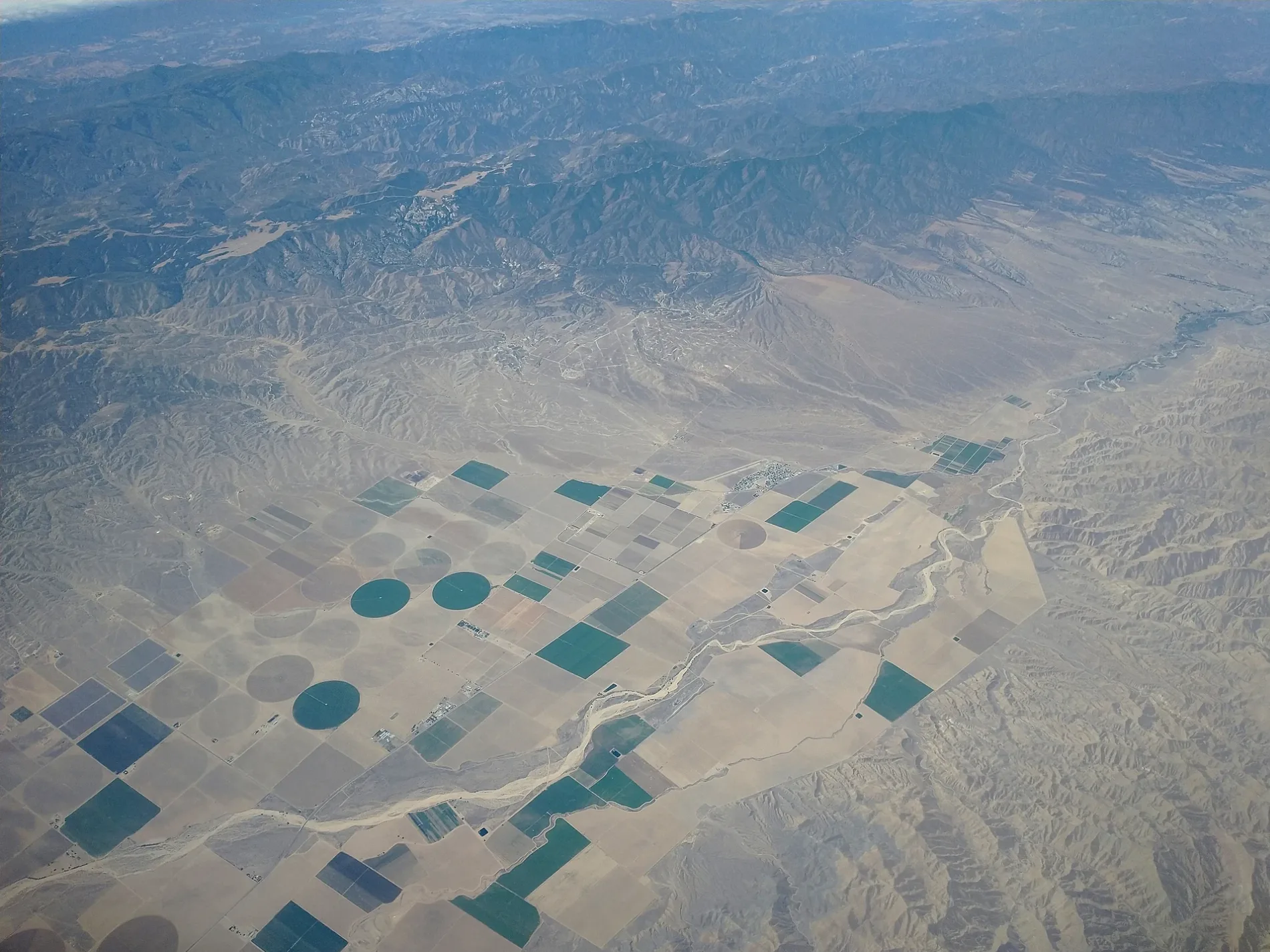
Cuyama Valley in Maricopa, CA 93252
Cuyama Valley in Maricopa, CA 93252 (Santa Barbara County) is a valley. Cuyama Valley also exists in San Luis Obispo County and Ventura County. Ⓦ.
- Nature
- valley
Image
Streets nearby
Airport Lane2.0 mi
Meadow Road2.1 mi
Ballinger Canyon Road2.2 mi
Forest Route 9N472.6 mi
Pier Road2.7 mi
463.7 mi
104.0 mi
Stubblefield Road4.1 mi
484.1 mi
64.3 mi
124.4 mi
San Juan Drive4.4 mi
114.5 mi
Foothill RoadFirst Baptist Church of Carpinteria, Howard Carden School, Foothill & Cocopah, Foothill & La Colina JHS, Trinity Evangelical Lutheran, Foothill & Cieneguitas, Foothill Surgery Center
4.5 mi
Juniper Street4.5 mi
La Panza AvenueThe Place
4.5 mi
La PanzaVentucopa
4.5 mi
Santa Barbara Canyon Road4.5 mi
494.6 mi
San Emido Drive4.6 mi
San Emidio Drive4.7 mi
Quatal Road4.7 mi
El Roblar Street4.7 mi
Schaeffer Road4.7 mi
434.7 mi
364.8 mi
504.9 mi
75.0 mi
515.1 mi
Pipeline Road5.1 mi
525.2 mi
95.2 mi
145.2 mi
415.2 mi
245.3 mi
295.4 mi
405.4 mi
375.4 mi
Kirschenmann Road5.4 mi
545.4 mi
535.5 mi
345.6 mi
395.6 mi
185.7 mi
Campgrounds nearby
Ballinger Canyon Campground3.8 mi
Streams nearby
Ballinger Canyon Wash5.4 mi
Valleys nearby
Ballinger Canyon5.1 mi
Other nearby
Runway 11/294.5 mi
7R Ranch Airport4.6 mi
| Located in | California |
|---|---|
| Country | United States |
| Body of water | Cuyama River |
 Public transit map Santa Barbara County Legend
| Railway | |
| Bus | |
| Streetcar |
 Bicycle map Santa Barbara County Legend
| Bike path | |
| Bike lane on roadway | |
| Cycling allowed on bus lane | |
| Bicycle street | |
| Open to cyclists | |
| Open to cyclists, good path | |
| Cycling prohibited | |
| Cobblestone |
| Long-distance bike route | (depending on scale) | |
| Long-distance bike route |
 Pedestrian map Santa Barbara County Legend
| Path |
| Long-distance hiking trail | (depending on scale) | |
| Long-distance hiking trail | ||
| Pedestrians prohibited |