
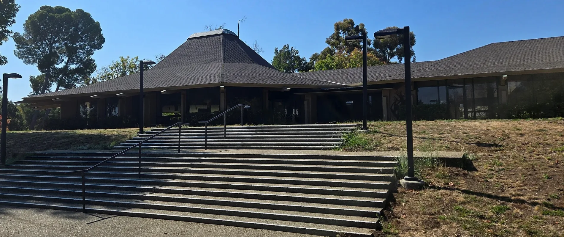
Congregation Beth Am in Los Altos Hills, California
Congregation Beth Am in Los Altos Hills is a Synagogue, Arastradero Road 26790 (94022). It is also known as Temple Beth Am. Ⓦ.
- House Number
- 26790
- Postal Code
- 94022
- Street
- Arastradero Road
- Alternate Name
- Temple Beth Am
- Amenity
- place of worship
- Building Type
- building
Bus stops
Fast food restaurants
Town halls
Attractions
Bookstores
Cafes
Kindergartens
Doctor's offices
Police stations
Streets nearby
Thendara Way450 ft
Shady Oaks Court0.1 mi
Mandoli Drive0.1 mi
Palo Hills Drive0.2 mi
B0.2 mi
Ohlone Lane0.2 mi
Hillview Avenue3300 Hillview Avenue, 3307 Hillview Avenue, 3260 Hillview Avenue, Hillview Avenue & Porter Drive, Hillview Avenue & Coyote Hill Road, Hillview Avenue & Miranda Avenue, 3412 Hillview Avenue, 3421 Hillview Avenue, Hillview Avenue & Arastradero Road
0.2 mi
Jason's Trail0.2 mi
A0.2 mi
C0.2 mi
Alejandro Drive0.2 mi
F0.2 mi
Carillo Lane0.2 mi
D0.2 mi
E0.2 mi
Old Trace Lane0.3 mi
Ortega Drive0.3 mi
West Fremont RoadChildren's House of Los Altos
0.3 mi
Saint Francis Road0.3 mi
Aric Lane0.3 mi
Weston Drive0.3 mi
Old Adobe Road0.3 mi
Arastradero RoadArastradero Road & Old Adobe Road, Arastradero Road & Thendara Way, Arastradero & Suzanne, McLaren San Francisco, ChargePoint
0.3 mi
Deer Creek Road3475 Deer Creek Road, Deer Creek Road & Arastradero Road
0.3 mi
Beaver Lane0.4 mi
Esther Clark Path0.4 mi
80.4 mi
50.4 mi
60.4 mi
70.4 mi
Old Trace Court0.5 mi
Mockingbird Lane0.5 mi
Old Trace Road0.5 mi
Manuela Court0.5 mi
Buildings nearby
SAP Labs, Building 60.2 mi
SAP Labs, Building 90.2 mi
SAP Labs, Building 70.3 mi
Hilltop E0.4 mi
Hilltop A0.4 mi
Office buildings nearby
SAP Labs, Building 80.2 mi
SAP Labs, Building 30.3 mi
Tesla Motors0.3 mi
SAP Labs, Building 20.4 mi
SAP Labs, Building 10.4 mi
SAP Labs, Building 50.5 mi
VMware Promontory F0.5 mi
VMware Promontory E0.5 mi
Streams nearby
Deer Creek0.3 mi
Barron Creek0.6 mi
| Located in | Los Altos Hills |
|---|---|
| Country | United States |
| Website | http://www.betham.org/ |
 Public transit map Los Altos Hills Legend
| Railway | |
| Bus | |
| Streetcar |
 Bicycle map Los Altos Hills Legend
| Bike path | |
| Bike lane on roadway | |
| Cycling allowed on bus lane | |
| Bicycle street | |
| Open to cyclists | |
| Open to cyclists, good path | |
| Cycling prohibited | |
| Cobblestone |
| Long-distance bike route | (depending on scale) | |
| Long-distance bike route |
 Pedestrian map Los Altos Hills Legend
| Path |
| Long-distance hiking trail | (depending on scale) | |
| Long-distance hiking trail | ||
| Pedestrians prohibited |