
Kay Street in Ceres, California
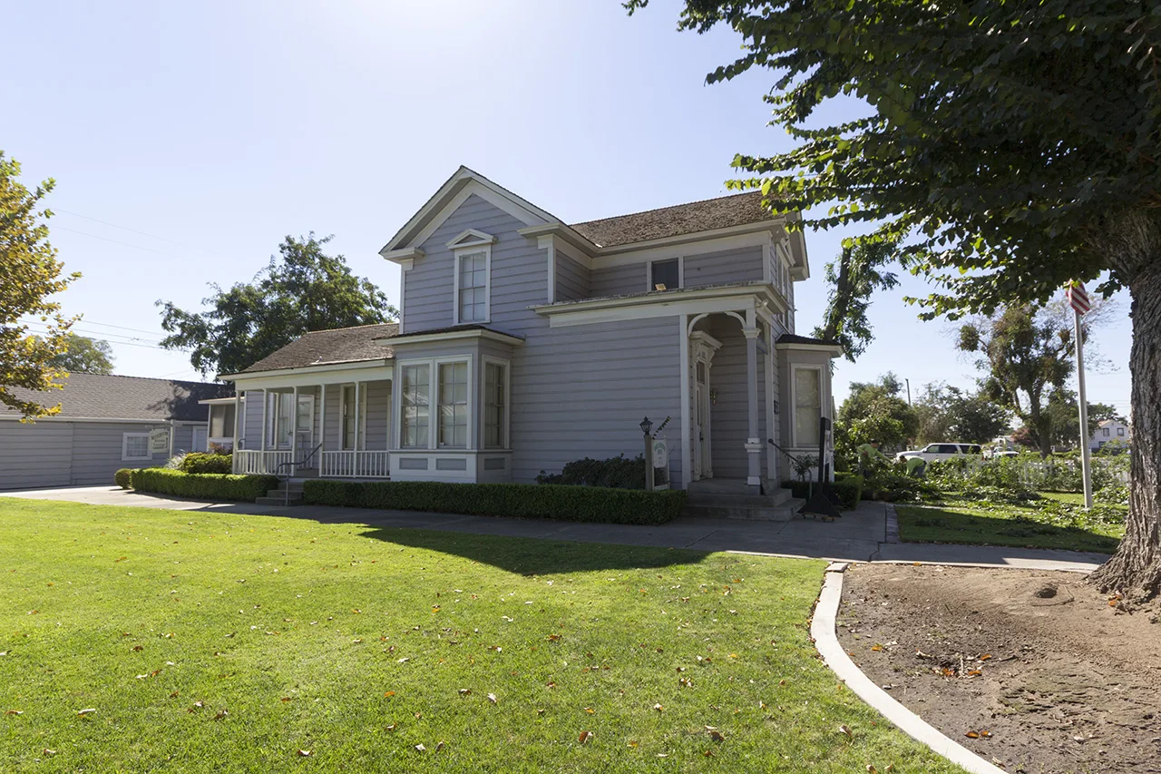
Kay Street in Ceres is a residential street and runs in a north-south direction starting from East Whitmore Avenue and crosses Magnolia Street and ends at Standford Avenue. Kay Street also exists in San Bernardino County.
- Road Type
- residential street
- Route
- north-south
Image
Restaurants
Hardware stores
Dry cleaners
Furniture stores
Convenience stores
Gas stations
Cafes
Banks
Post offices
Liquor stores
Ice cream shops
Schools
Clinics
Cell phone stores
Beauty salons
Car washes
Bars
Streets nearby
Magnolia Street300 ft
9th Street550 ft
Casa Verde Drive0.1 mi
Villa Ramon Drive0.1 mi
Chahalis Way0.1 mi
Lilac Court0.2 mi
7th Street0.2 mi
Whitmore AvenueModern Urgent Care, BMO, Ceres Smog & Tune, 1 Stop Rim & Tire Shop, DaVita Dialysis, Glaze Donuts
0.2 mi
Palm Avenue0.2 mi
Rose Court0.2 mi
Charlotte Avenue0.2 mi
Lawrence StreetArgus High School, Endeavor High School
0.2 mi
8th Street0.2 mi
Oasis Avenue0.2 mi
Joy Avenue0.3 mi
Standford Avenue0.3 mi
Pyramid Drive0.3 mi
Rose Avenue0.3 mi
Camelia Court0.3 mi
El Dorado DriveCha Cha Boba Tea + Sub & Deli USA, Nail Tech, Bob's Coffee Shop, The UPS Store, Central Valley Cleaners, Boost Mobile, Rent-A-Center
0.3 mi
El Farrari Court0.3 mi
Cordoba Court0.3 mi
10th Street0.3 mi
Pyramid Avenue0.3 mi
Wix Lane0.3 mi
Park Street0.4 mi
East Whitmore Avenue76, Mister Car Wash, Ceres, Ceres High School Gazebo, EVgo, Tacos El Viejon, Flyers Snack Cycle, Carl's Jr., Little Caesars, Subway, Starbucks
0.4 mi
Aster Court0.4 mi
Dirk Court0.4 mi
Vernal Drive0.4 mi
Roeding Road0.4 mi
East Lane0.4 mi
Melanie Court0.4 mi
Barry Court0.5 mi
Roswell Way0.5 mi
Robmar Court0.5 mi
Hayes Court0.5 mi
Banks nearby
Bank of America0.4 mi
Buildings nearby
American Legion Memorial Building0.2 mi
Clinics nearby
Modern Urgent Care0.2 mi
Convenience stores nearby
ampm0.1 mi
Fast food restaurants nearby
Habit Burger & Grill0.3 mi
Taco Bell0.4 mi
Fitness centers nearby
Planet Fitness0.4 mi
Gas stations nearby
Arco0.1 mi
Parks nearby
Roeding Heights Park0.3 mi
Post offices nearby
Ceres Post Office0.4 mi
Schools nearby
Ceres Unified School District0.2 mi
Supermarkets nearby
Save Mart0.4 mi
Public transit map Ceres Legend
| Railway | |
| Bus | |
| Streetcar |
Bicycle map Ceres Legend
| Bike path | |
| Bike lane on roadway | |
| Cycling allowed on bus lane | |
| Bicycle street | |
| Open to cyclists | |
| Open to cyclists, good path | |
| Cycling prohibited | |
| Cobblestone |
| Long-distance bike route | (depending on scale) | |
| Long-distance bike route |
Pedestrian map Ceres Legend
| Path |
| Long-distance hiking trail | (depending on scale) | |
| Long-distance hiking trail | ||
| Pedestrians prohibited |