
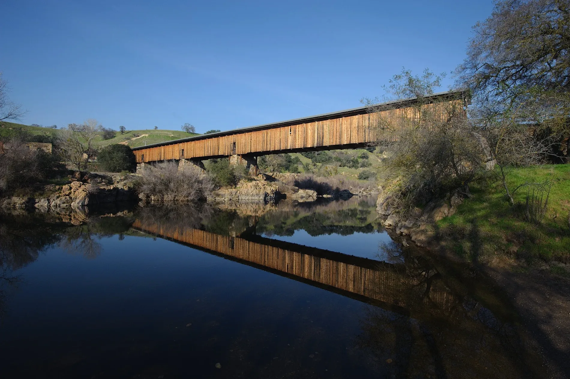
Knights Ferry Covered Bridge in Oakdale, CA 95361
Knights Ferry Covered Bridge in Oakdale, CA 95361 (Stanislaus County) is an attraction. It runs in a southeast-northwest direction starting from Covered Bridge Road. Knights Ferry Covered Bridge is located near Covered Bridge Road. Ⓦ.
- Road Type
- track
- Tourism
- attraction
- Route
- southeast-northwest
Image
Streets nearby
Covered Bridge Road0.1 mi
Schuper Road0.2 mi
Lynde Street0.3 mi
Shurl Street0.4 mi
Sonora RoadRosedale School
0.4 mi
Dean Street0.4 mi
Ellen StreetKnights Ferry
0.5 mi
Vantine Street0.5 mi
Dent Street0.5 mi
Grant Road0.5 mi
Kennedy Road0.6 mi
Cemetery Road0.6 mi
Frymire Road1.3 mi
Grape Arbor Court1.5 mi
Grape Arbor Road1.5 mi
Schell Road1.5 mi
Morrison Road1.8 mi
Willms Road2.7 mi
Orange Blossom Road3.5 mi
Horseshoe Road3.5 mi
Tulloch Dam RoadArmy Corps of Engineers
3.5 mi
Orange Blossom Court3.8 mi
Stone Avenue4.1 mi
Waterways nearby
San Joaquin Pipeline No. 43.8 mi
San Joaquin Pipeline No. 33.8 mi
San Joaquin Pipeline No. 23.8 mi
San Joaquin Pipeline No. 13.8 mi
Buildings nearby
Mill House150 ft
Canals nearby
South Main Canal1.7 mi
Dams nearby
Goodwin Dam3.5 mi
Ditches nearby
Lateral Number Eight1.3 mi
Duck Creek4.1 mi
Industrial areas nearby
Knights Ferry Maintenance Facility0.4 mi
Throttle Station 1-33.2 mi
Throttle Station 23.6 mi
MP 56.51 Tie-In4.6 mi
Quarries nearby
Tunnel Tailings3.8 mi
Restaurants nearby
50's Roadhouse Restaurant0.4 mi
River's Edge Restaurant0.5 mi
Rivers nearby
Stanislaus River3.5 mi
Ruins nearby
Tulloch Mill Ruins200 ft
Streams nearby
Peachys Creek2.7 mi
Lesnini Creek2.7 mi
Littlejohns Creek2.9 mi
Thalheim Lateral3.1 mi
Underwood Creek3.3 mi
Cashman Creek3.9 mi
Smith Creek4.7 mi
Martells Creek4.8 mi
| Year built | 1864 |
|---|---|
| Heritage designation | National Historic Landmark, National Register of Historic Places listed place, National Register of Historic Places contributing property |
| Located in | Stanislaus County |
| Country | United States |
| Crosses | Stanislaus River |
| Location | Knights Ferry |
 Public transit map Stanislaus County Legend
| Railway | |
| Bus | |
| Streetcar |
 Bicycle map Stanislaus County Legend
| Bike path | |
| Bike lane on roadway | |
| Cycling allowed on bus lane | |
| Bicycle street | |
| Open to cyclists | |
| Open to cyclists, good path | |
| Cycling prohibited | |
| Cobblestone |
| Long-distance bike route | (depending on scale) | |
| Long-distance bike route |
 Pedestrian map Stanislaus County Legend
| Path |
| Long-distance hiking trail | (depending on scale) | |
| Long-distance hiking trail | ||
| Pedestrians prohibited |