
Lottie Street in Oakdale, California
Lottie Street in Oakdale is a residential street and runs in a northeast-southwest direction and ends at North 1st Avenue, while the other end is a cul-de-sac.
- Road Type
- residential street
- Route
- northeast-southwest
Image
Fast food restaurants
Libraries
Town halls
Cafes
Gas stations
Restaurants
Places of worship
Farm supply stores
Banks
Convenience stores
Pastry shops
Car washes
Museums
- The Cowboy Museum (opening hours: Wed–Sat 10–15, Web) at East F Street 355 (95361) – approx. 0.2 mi.
Streets nearby
Pinkston Avenue0.1 mi
California Avenue0.1 mi
North 2nd AvenueFirst Baptist Church
0.1 mi
South 1st AvenueOakdale Branch Stanislaus County Free Library
0.1 mi
East E Street0.1 mi
West G StreetOakdale High School, Oakdale Adult Education School
0.1 mi
North 3rd AvenueChurch of Christ
0.2 mi
Davitt AvenueTruth for Today Church
0.2 mi
East D StreetFirst Church of Christ Scientist, Oakdale City Hall
0.2 mi
Laurel Avenue0.2 mi
North Yosemite AvenueOakdale Feed & Seed, Cafe Bliss, Oakdale Chamber of Commerce, Cindy's, Sno-white Drive In
0.2 mi
South Yosemite AvenueChase, Starbucks, Corona Market
0.2 mi
Maxwell Avenue0.2 mi
Church Avenue0.2 mi
North 1st Avenue0.2 mi
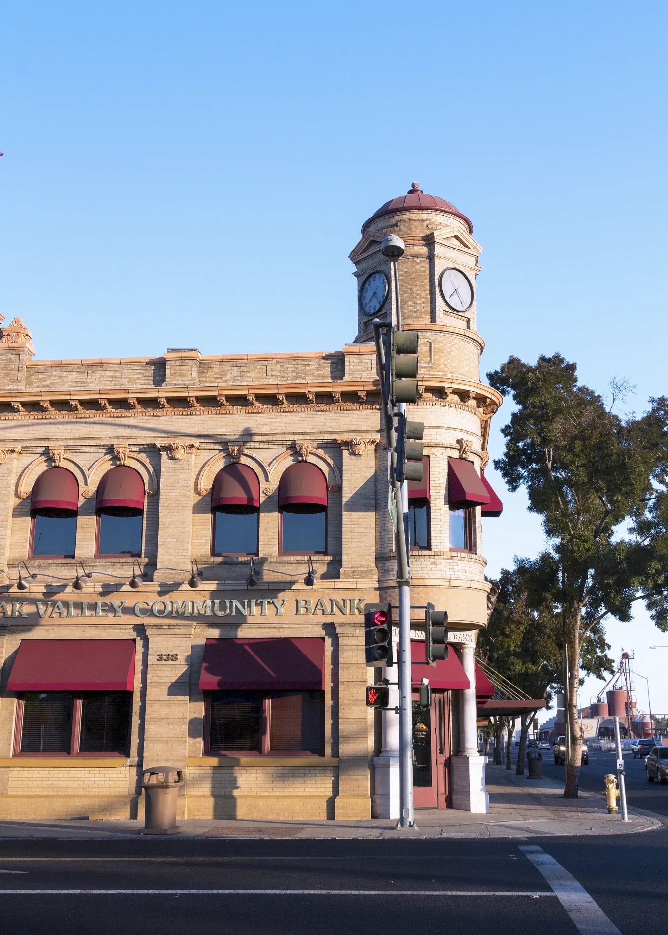
East F StreetOakdale Cafe, Bank of Stockton, China House, The Cowboy Museum, H-B, Saint Matthias Episcopal Church, Little Caesars, Starbucks, Aaron's, AutoZone, Supercuts, Cold Stone Creamery, Subway, Grocery Depot, TOGO Sandwich Shop, Round Table Pizza, Les Schwab Tire Center, Circle D Liquors, Grand Buffett, Prime Shine, Cocina Michocana, O'Riley Auto Parts, 7-Eleven, Paul's Liquor, Taco Truck, Mexico Market, Oakdale, Oak Valley Community Bank, Big 5 Sporting Goods, Pit Stop, KFC, Denny's
0.2 mi
West H Street0.2 mi
Gilbert AvenueSpeedway
0.2 mi
South 3rd AvenueBank of America
0.2 mi
South 2nd Avenue0.2 mi
East H Street0.2 mi
West AvenueSaint Lukes Lutheran Church
0.3 mi
South Sierra AvenueBachi's Resturant
0.3 mi
Pine Street0.3 mi
Poplar Street0.3 mi
Bardo Avenue0.3 mi
Pleasanton Place0.3 mi
North Sierra AvenuePentecostal Church of God
0.3 mi
Blankenship Avenue0.3 mi
West B Street0.3 mi
Mann Avenue0.3 mi
East C Street0.3 mi
North 4th Avenue0.3 mi
East B Street0.3 mi
North Bryan Avenue0.4 mi
Lambuth Avenue0.4 mi
West A Street0.4 mi
School Avenue0.4 mi
East A Street0.4 mi
Reynolds Avenue0.5 mi
Kimball Street0.5 mi
Eucalyptus Avenue0.5 mi
Banks nearby
Wells Fargo400 ft
Cemeteries nearby
Oaklawn Memorial Park0.4 mi
Community centers nearby
Gene Bianchi Community Center0.1 mi
Museums nearby
Oakdale Museum & History Center200 ft
Parks nearby
Clarence E. Wood Park0.3 mi
Dorada Park0.4 mi
Railways nearby
Oakdale Branch0.3 mi
Public transit map Oakdale Legend
| Railway | |
| Bus | |
| Streetcar |
Bicycle map Oakdale Legend
| Bike path | |
| Bike lane on roadway | |
| Cycling allowed on bus lane | |
| Bicycle street | |
| Open to cyclists | |
| Open to cyclists, good path | |
| Cycling prohibited | |
| Cobblestone |
| Long-distance bike route | (depending on scale) | |
| Long-distance bike route |
Pedestrian map Oakdale Legend
| Path |
| Long-distance hiking trail | (depending on scale) | |
| Long-distance hiking trail | ||
| Pedestrians prohibited |