
Jones Street in Modesto, California
Jones Street in Modesto is a residential street. It runs in an east-west direction starting from McHenry Avenue and crosses Johnson Street and Semple Street and ends at Kimble Street. Jones Street also exists in Marin County, Contra Costa County, Sonoma County, Sierra County and Sutter County.
- Road Type
- residential street
- Route
- east-west
Image
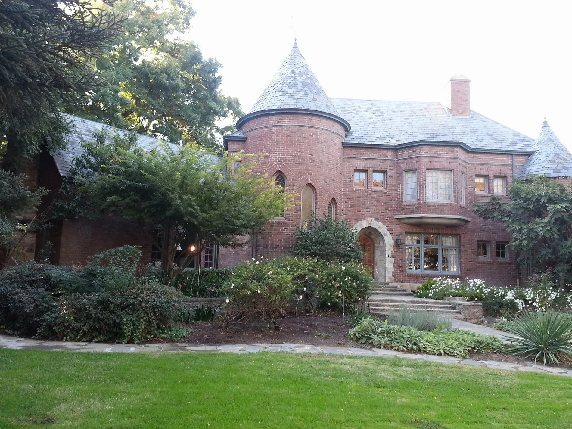
Auto parts stores
Copy shops
Laundries
Artworks
Theaters
Places of worship
Cafes
Restaurants
Fast food restaurants
Supermarkets
Hi-fi stores
Museums
- McHenry Museum (McHenry Museum & Historical Society, Web) at I Street 1402 (95354) – approx. 0.3 mi.
Streets nearby
Johnson Street350 ft
I StreetStarbucks, Sourdough & Co., Tai Chi Chuan, First Presbyterian Church, McHenry Museum, Raw Sushi Bistro, Laundry Express, Arc Document Solutions, California Clippers Downtown Barbershop, ARCHED by Alyssa
450 ft
Grant Street0.1 mi
Semple Street0.1 mi
Floto Street0.1 mi
Lee Street0.2 mi
H StreetSmart & Final Extra!, Modesto, Stanislaus County Probation, Rainbow Resource Center, Perfect Massage, Dary's Beauty Salon, The Spotlight Cafe, National Appliance Parts, City Towers Civil Courthouse, Pure Grind Coffee & Juice Bar
0.2 mi
Scenic DrivePanda Express, Baja Fresh, Subway, Scenic Drive In, Giacomo's Espresso
0.2 mi
Kimble Street0.2 mi
Floto Way0.2 mi
McHenry AvenueAudio Pros Car Stereo, California Tint Academy Supply Center, Modesto Window Tint, AK of Amerika, Batteries Plus Bulbs, Two Paws Up, Subway Modesto, Jersey Mike's Subs, Xfinity, Kimoto, Panera Bread, Super Gyros, Smokin Vets, All American Eyeglass Repair, Mosaic Salon, Gather Event Collection, Pro Tint, Play It Again Sports, City Cel, T-Mobile, AT&T, See's Candies
0.2 mi
19th Street0.2 mi
Almond Avenue0.2 mi
Downey AvenueChurch of the Four Square Gospel, Saint Johns Chapel of the Valley, Bauhaus
0.2 mi
Redwood Avenue0.2 mi
Elmwood AvenueCommunity of Christ
0.2 mi
Burney Street0.2 mi
Rue de YoeChurch of Christ
0.2 mi
Alice Street0.2 mi
Needham StreetE-Spin Inc.
0.2 mi
G StreetBethel Pentecostal Church, Free Methodist Church
0.2 mi
Modesto Avenue0.3 mi
18th Street0.3 mi
Davis Street0.3 mi
Melrose Street0.3 mi
High Street0.3 mi
Wright Street0.3 mi
17th StreetChurch of the Nazarene;Central Valley Specialty Hospital, Seventh Day Adventist Church
0.3 mi
Stoddard Avenue0.3 mi
Magnolia Avenue0.3 mi
James Street0.3 mi
Howard Street0.3 mi
K Street0.3 mi
16th StreetFirst Methodist Church
0.3 mi
State Street0.3 mi
J StreetTaqueria Cardenas, Subway, Rancho Fresco Mexican Grill, Mistlin Gallery, Modesto City Hall, Preservation Coffee & Tea, Saint Paul Missionary Baptist Church, Mi Mimosas Breakfast & Brunch
0.4 mi
14th StreetBethel Bible Church, First Church of Christ Scientist, Tacos Vallarta Taco Truck, First Christian Church, Queen Bean
0.4 mi
Banks nearby
Valley First Credit Union0.3 mi
Buildings nearby
McHenry Museum0.3 mi
Fast food restaurants nearby
Jack in the Box0.1 mi
Furniture stores nearby
Slaters Home Furnishings0.2 mi
Gardens nearby
The Julio and Aileen Gallo Rose Garden0.3 mi
Hotels nearby
Best Western Town House Lodge0.2 mi
Libraries nearby
Modesto Main Branch Stanislaus County Library0.2 mi
Museums nearby
McHenry Mansion0.3 mi
Parks nearby
McClatchy Square0.3 mi
Religious areas nearby
CornerStone Baptist Church0.2 mi
Restaurants nearby
Denny's0.1 mi
Social facilities nearby
Ralston Tower0.1 mi
 Public transit map Modesto Legend
| Railway | |
| Bus | |
| Streetcar |
 Bicycle map Modesto Legend
| Bike path | |
| Bike lane on roadway | |
| Cycling allowed on bus lane | |
| Bicycle street | |
| Open to cyclists | |
| Open to cyclists, good path | |
| Cycling prohibited | |
| Cobblestone |
| Long-distance bike route | (depending on scale) | |
| Long-distance bike route |
 Pedestrian map Modesto Legend
| Path |
| Long-distance hiking trail | (depending on scale) | |
| Long-distance hiking trail | ||
| Pedestrians prohibited |