
Sierra Drive in Modesto, California
Sierra Drive in Modesto is a local road. It runs in an east-west direction starting from Rosedale Avenue and crosses 1st Street, G Street, Roselawn Avenue, 2nd Street, Rosemont Avenue, F Street, 3rd Street, Sunset Boulevard, Fresno Avenue, 4th Street and Madera Avenue. Nearby there is an electrical supply store.
- Road Type
- local road
- Route
- east-west
Image
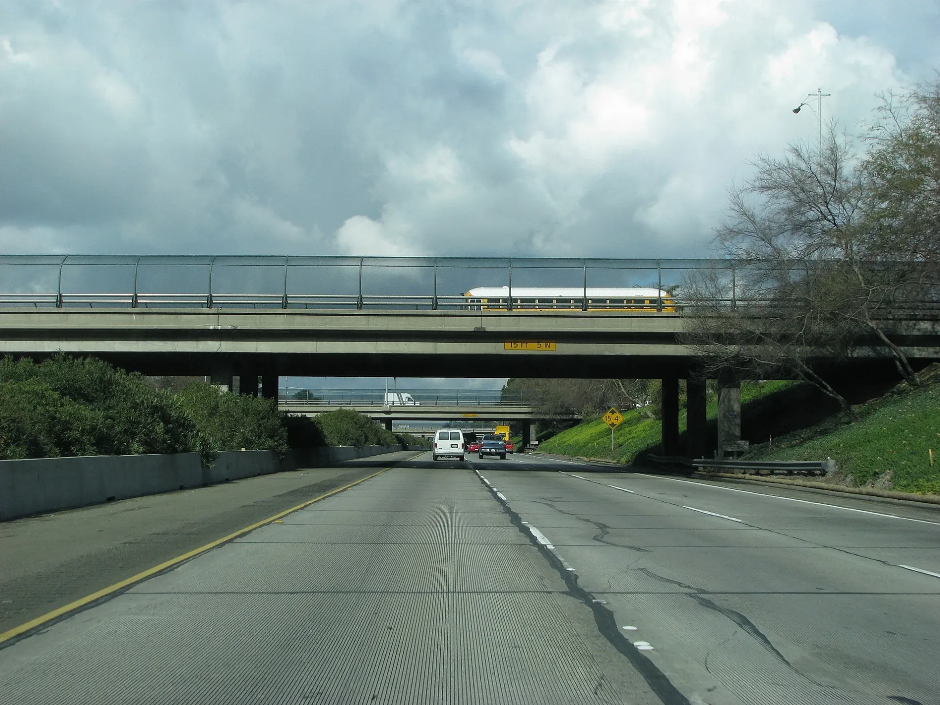
Electrical supply stores
Streets nearby
F StreetChurch of Christ
300 ft
2nd StreetFirst Church of God
350 ft
3rd Street400 ft
G StreetBethel Pentecostal Church, Free Methodist Church
450 ft
1st Street550 ft
Rosemont Avenue0.1 mi
Rosedale AvenueFirst Church of the Brethren
0.1 mi
Sunset Boulevard0.1 mi
Fresno Avenue0.2 mi
Center Street0.2 mi
South Washington Street0.2 mi
E Street0.2 mi
Madera Avenue0.2 mi
4th Street0.2 mi
Roselawn AvenueAspire University Charter School
0.2 mi
Vine Street0.3 mi
5th Street0.3 mi
Tuolumne Boulevard0.3 mi
Merced Avenue0.3 mi
H StreetSmart & Final Extra!, Modesto, Stanislaus County Probation, Rainbow Resource Center, Perfect Massage, Dary's Beauty Salon, The Spotlight Cafe, National Appliance Parts, City Towers Civil Courthouse, Pure Grind Coffee & Juice Bar
0.3 mi
Ruberto Street0.3 mi
6th StreetLivingway Tabernacle, Pentecostal Church of God, Central de Autobuses
0.3 mi
Paradise Road0.3 mi
South Jefferson Street0.4 mi
J StreetSaint Paul Missionary Baptist Church, Taqueria Cardenas, Subway, Rancho Fresco Mexican Grill, Mistlin Gallery, Modesto City Hall, Preservation Coffee & Tea, Mi Mimosas Breakfast & Brunch
0.4 mi
I StreetTai Chi Chuan, First Presbyterian Church, McHenry Museum, Raw Sushi Bistro, Laundry Express, Arc Document Solutions, California Clippers Downtown Barbershop, ARCHED by Alyssa, Starbucks, Sourdough & Co.
0.4 mi
Shops nearby
Aqua Blue Store0.2 mi
ACE Cash Express0.2 mi
Auto repair shops nearby
Green Auto Repair and Smog0.3 mi
Payless Autobody0.3 mi
Concentric Components0.3 mi
Modesto Auto Smog & Repair0.4 mi
Bars nearby
Cedar Bar & Hookah Lounge0.4 mi
Buildings nearby
Parent Resource Center0.3 mi
Commercial buildings nearby
Leamer Family Chiropractic0.2 mi
Community centers nearby
Maddox Youth Center500 ft
Moose Lodge0.3 mi
Convenience stores nearby
ExtraMile0.3 mi
ampm0.3 mi
Event venues nearby
Valley Event Center0.4 mi
Fast food restaurants nearby
Web's Big Ben0.3 mi
Gas stations nearby
Chevron0.3 mi
Arco0.3 mi
Valero0.4 mi
Nightclubs nearby
Candela Bar & Nightclub0.3 mi
Parks nearby
César E. Chavez Neighborhood Park450 ft
Retail buildings nearby
Dania Hall0.3 mi
Shelters nearby
D's Tire Services0.3 mi
D's Tires Services0.3 mi
 Public transit map Modesto Legend
| Railway | |
| Bus | |
| Streetcar |
 Bicycle map Modesto Legend
| Bike path | |
| Bike lane on roadway | |
| Cycling allowed on bus lane | |
| Bicycle street | |
| Open to cyclists | |
| Open to cyclists, good path | |
| Cycling prohibited | |
| Cobblestone |
| Long-distance bike route | (depending on scale) | |
| Long-distance bike route |
 Pedestrian map Modesto Legend
| Path |
| Long-distance hiking trail | (depending on scale) | |
| Long-distance hiking trail | ||
| Pedestrians prohibited |