
Blossom Ranch Road in Patterson, California
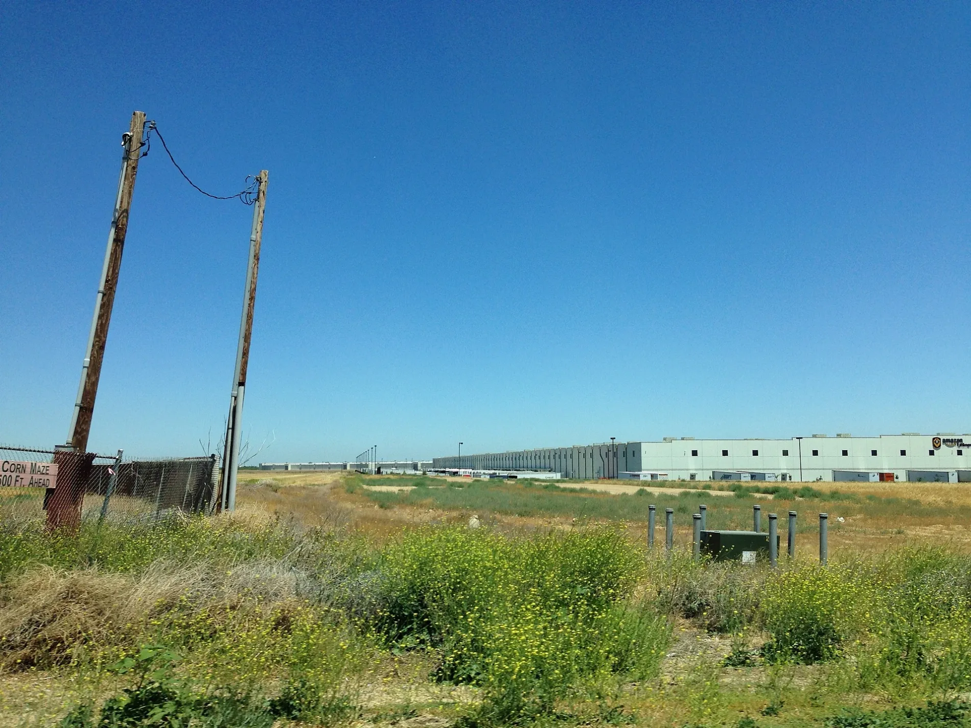
Blossom Ranch Road in Patterson is a residential street. It runs in an east-west direction starting from Teton Ranch Way and crosses Brighton Ranch Way, Wrightsville Road, Moss Ranch Road, Vly Ranch Road, Dogwood Ranch Way and Jantz Ranch Way and ends at Birch Ranch Way.
- Road Type
- residential street
- Route
- east-west
Image
Weighbridges
Cafes
Convenience stores
Variety stores
Veterinary clinics
Fast food restaurants
Parcel shops
Pharmacies
Cell phone stores
Gas stations
Charging stations
Supermarkets
Restaurants
Paint stores
Ice cream shops
Streets nearby
Teton Ranch Way0.1 mi
Wrightsville Road0.1 mi
Verde Ranch Road0.1 mi
Morrison Ranch Court0.1 mi
Haggerty Drive0.1 mi
Vly Ranch Road0.2 mi
Brandon Debrito Circle0.2 mi
Elkhorn Road0.2 mi
Brighton Ranch Way0.2 mi
Moss Ranch Road0.2 mi
Gillette Court0.2 mi
Dogwood Ranch Way0.2 mi
Stagecoach Road0.2 mi
Calvinson Parkway0.2 mi
Kimes Ranch Road0.2 mi
Jantz Ranch Way0.2 mi
Rankin Court0.3 mi
Park Center Drive0.3 mi
Emerald Ranch Road0.3 mi
Flying J Travel CenterCAT Scale
0.3 mi
Birch Ranch Way0.3 mi
Brasada Way0.4 mi
Greenhorn Road0.4 mi
Straus Way0.4 mi
Baldwin Road0.4 mi
Marble Road0.4 mi
Sperry AvenueSubway, Walgreens, T-Mobile, Baskin-Robbins, Domino's, Les Schwab Tire Center, Chipotle, Panda Express, Great Clips, Wingstop, Thompson
0.4 mi
Azalea Drive0.4 mi
Nostalgia Avenue0.4 mi
Lavender Lane0.4 mi
Daylilly Lane0.5 mi
Angus Street0.5 mi
Illusion Court0.5 mi
Abelia Lane0.5 mi
Shorthorn Street0.5 mi
Scarlet Lane0.6 mi
Henley Parkway0.6 mi
Image Court0.6 mi
Oasis Lane0.6 mi
Marigold Drive0.6 mi
Berrendas Street0.6 mi
Shops nearby
Speedco0.4 mi
Commercial areas nearby
Villa Del Lago0.5 mi
Farmyards nearby
Fantozzi Corn Maze0.5 mi
Gas stations nearby
Love's0.5 mi
Hotels nearby
Hampton Inn & Suites0.2 mi
Industrial areas nearby
Caltrans Patterson Maintenance Station0.3 mi
Mail depots nearby
Amazon OAK30.5 mi
Parks nearby
Woodland Star Park0.6 mi
 Public transit map Patterson Legend
| Railway | |
| Bus | |
| Streetcar |
 Bicycle map Patterson Legend
| Bike path | |
| Bike lane on roadway | |
| Cycling allowed on bus lane | |
| Bicycle street | |
| Open to cyclists | |
| Open to cyclists, good path | |
| Cycling prohibited | |
| Cobblestone |
| Long-distance bike route | (depending on scale) | |
| Long-distance bike route |
 Pedestrian map Patterson Legend
| Path |
| Long-distance hiking trail | (depending on scale) | |
| Long-distance hiking trail | ||
| Pedestrians prohibited |