
High Sierra Trail in Sequoia National Park, CA 93262
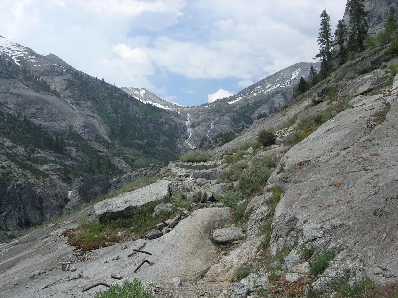
High Sierra Trail in Sequoia National Park, CA 93262 (Tulare County) is a dirt path. It ends in a cul-de-sac. High Sierra Trail is also known as HST. This street is part of the Hiking trails Theodore Solomons Trail, Big SEKI Loop, Wallace Creek Trail, Kern Canyon Trail and Chagoopa Plateau Trail. Nearby you can find among others a viewpoint and a campground. The nearest stop is Crescent Meadow. The bus line 2 stops here. Ⓦ.
- Bicycle
- no
- Road Type
- path
Image
Streets nearby
Sugar Pine to Crescent Meadow Cutoff0.2 mi
Crescent Meadow Loop TrailCleveland Tree, Crescent Meadow
0.3 mi
Log Meadow Loop0.3 mi
Bobcat Point Trail0.4 mi
Tharp's Log TrailChimney Tree, Tharp's Log
0.4 mi
Washington Tree TrailThe Three Amigos
0.6 mi
Huckleberry TrailSquatters Cabin
0.7 mi
Sugar Pine Trail0.8 mi
Circle Meadow Loops0.9 mi
Crescent Meadow RoadTunnel Log, Auto Log, Booker T. Washington Tree, Giant Forest Museum, Giant Forest museum shuttle, Buttress Tree, Parker Group
0.9 mi
Wolverton Cutoff Trail1.0 mi
Trail of the SequoiasChief Sequoyah
1.0 mi
Soldiers Hill Trail1.1 mi
Bear's Bathtub Trail1.1 mi
Moro Rock LoopHanging Rock Parking
1.2 mi
Giant Forest Local1.2 mi
Hazelwood Trail1.3 mi
Bear Hill TrailColonel Young Tree
1.3 mi
Alta Trail1.4 mi
Hazelwood Cutoff1.4 mi
Hanging Rock TrailHanging Rock
1.4 mi
Rimrock Trail1.4 mi
Big Trees TrailJust enough soil, Prime Sequoia habitat, Inheritance, Bear bench
1.5 mi
Moro Rock TrailMoro Rock
1.6 mi
Congress TrailCongress Group, McKinley Tree
1.7 mi
Generals HighwayPinewood, Sentinel Tree, Kaweah River Overlook, Eleven Range Overlook, Amphitheater Point, Ash Mountain Park Entrance, Stony Creek Village, Stony Creek Gasoline, Stony Creek Market, Lower Stony Creek, Kings Canyon, Kings Canyon Overlook, Redwood Mountain Overlook, The Wye, Red Fir, Ash Mountain Entrance Sign, Halstead Meadow Picnic Area
1.7 mi
Giant Forest-Alta Trail1.7 mi
Sherman Tree TrailSherman Tree, Why So Big and So Old, General Sherman Tree, The General Sherman Tree, Sherman Tree Trailhead, Sherman Tree View, Into the Giant Forest, There It Is!
1.9 mi
Middle Fork Kaweah TrailMiddle Fork Kaweah Trailhead
1.9 mi
Attractions nearby
Cattle Cabin1.2 mi
Bare rocks nearby
Moro Rock1.4 mi
Hanging Rock1.5 mi
Beetle Rock1.8 mi
Buildings nearby
Beetle Rock Education Center1.8 mi
Forests nearby
The Senate1.3 mi
The House1.3 mi
Museums nearby
Giant Forest Museum1.7 mi
Picnic areas nearby
Pinewood Picnic Area1.7 mi
Rivers nearby
Middle Fork Kaweah River2.1 mi
Streams nearby
Crescent Creek0.6 mi
Little Deer Creek1.3 mi
Panther Creek1.7 mi
Moro Creek1.8 mi
Sherman Creek1.9 mi
Wetlands nearby
Log Meadow400 ft
Crescent Meadow0.3 mi
Huckleberry Meadow0.6 mi
Circle Meadow0.9 mi
Round Meadow1.6 mi
| Protected area | Sequoia National Park, Sequoia-Kings Canyon Wilderness |
|---|---|
| Located in | Sequoia National Park, Tulare County |
| Country | United States |
 Public transit map Tulare County Legend
| Railway | |
| Bus | |
| Streetcar |
 Bicycle map Tulare County Legend
| Bike path | |
| Bike lane on roadway | |
| Cycling allowed on bus lane | |
| Bicycle street | |
| Open to cyclists | |
| Open to cyclists, good path | |
| Cycling prohibited | |
| Cobblestone |
| Long-distance bike route | (depending on scale) | |
| Long-distance bike route |
 Pedestrian map Tulare County Legend
| Path |
| Long-distance hiking trail | (depending on scale) | |
| Long-distance hiking trail | ||
| Pedestrians prohibited |