
Image
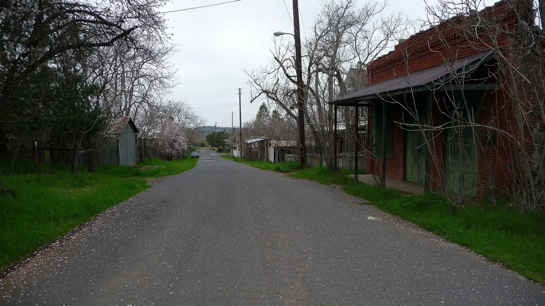
Streets nearby
Red Hills RoadChinese Camp Elementary School, Chinese Camp Post Office, Chinese Camp Store
0.4 mi
Sims Road0.8 mi
Church Street1.0 mi
Maiden Lane1.0 mi
Serpentine Loop Road North1.0 mi
Curry Street1.1 mi
Yosemite Street1.1 mi
Serpentine Loop Road South1.1 mi
Washington StreetHistoric Fallon House Theater, Fallon House
1.1 mi
Main StreetJamestown Post Office, Jamestown Museum, Rocca Park / Jamestown Main Street, Jamestown Mercantile Antique, Dorothy Jane's - Past to Present, Jamestown Community Hall, Colored by, Yosemite Fudge Lady, Time Travelers Antiques and More, Terry's Sew & Vac Clip and Cut Salon, Columbia Fire House, What Cheer Salon, Columbia City Hotel Restaurant, Chinese Camp, Groveland, Iron Door Saloon, Mountain Sage, Yosemite International Hostel, Cocina Michoacana, Little Free Library, Tesla Supercharger, Serendipity, Groveland Pharmacy, Iron Door General Store, Iron Door Grill, Top of the Trail, Adventist Health, Kevin and Randi's Old Fashioned Meat Market, Motherlode Made Makers Market Gift Shop, Helping Hands Thrift Store, Charlotte's Tavern, Quartz, Xpress Mart, Hungry Bear Cafe, Mary Laveroni Park / Old Yosemite Road
1.2 mi
Sixbit Gultch Road1.3 mi
High Tech Drive1.3 mi
Enterprise Drive1.3 mi
South Serpentine Loop Road1.4 mi
Rojo Lane1.4 mi
Perri Cone Road1.6 mi
Overlook Loop Trail1.8 mi
Six Bit Gulch Road1.9 mi
Soaproot Ridge Trail2.0 mi
6 Bit Gulch Road2.0 mi
Meso Vista Court2.1 mi
Shawmut Road2.1 mi
Soaprood Ridge Trail2.3 mi
Lake Drive2.5 mi
Golden Horseshoe Road2.6 mi
B Road2.6 mi
Tarantula Road2.7 mi
Fairway Court2.7 mi
Mount Pass Ranch Road2.8 mi
Mountain Bluff Road2.8 mi
Old Stage Trail2.8 mi
Jacksonville RoadStent
2.9 mi
Twist Road2.9 mi
Lulu Mine Road2.9 mi
Park Avenue3.0 mi
Six Bit Trail3.0 mi
Eastwood Ravine Road3.1 mi
Menke Ness Road3.1 mi
Old Don Pedro Road3.4 mi
Buildings nearby
Wells Fargo Express Company Building1.1 mi
St. Francis Xavier Catholic Church1.2 mi
Cemeteries nearby
St. Francis Xavier Catholic Church Cemetery1.3 mi
Fire stations nearby
Tuolumne County Fire Department Station 61 Chinese Camp1.2 mi
Industrial areas nearby
IHI Chinese Station1.6 mi
California Wood Shavings3.5 mi
Railways nearby
Sonora Subdivision2.1 mi
Streams nearby
Big Creek3.0 mi
Andrew Creek3.3 mi
Other nearby
Red Hills Airstrip1.9 mi
| Area | 2.3 km² |
|---|---|
| Elevation | 388 m |
| Heritage designation | California Historical Landmark |
| Located in | Tuolumne County |
| Postal code | 95309 |
| Country | United States |
| Population | 90 |
| Official name | Chinese Camp |
 Public transit map Tuolumne County Legend
| Railway | |
| Bus | |
| Streetcar |
 Bicycle map Tuolumne County Legend
| Bike path | |
| Bike lane on roadway | |
| Cycling allowed on bus lane | |
| Bicycle street | |
| Open to cyclists | |
| Open to cyclists, good path | |
| Cycling prohibited | |
| Cobblestone |
| Long-distance bike route | (depending on scale) | |
| Long-distance bike route |
 Pedestrian map Tuolumne County Legend
| Path |
| Long-distance hiking trail | (depending on scale) | |
| Long-distance hiking trail | ||
| Pedestrians prohibited |