
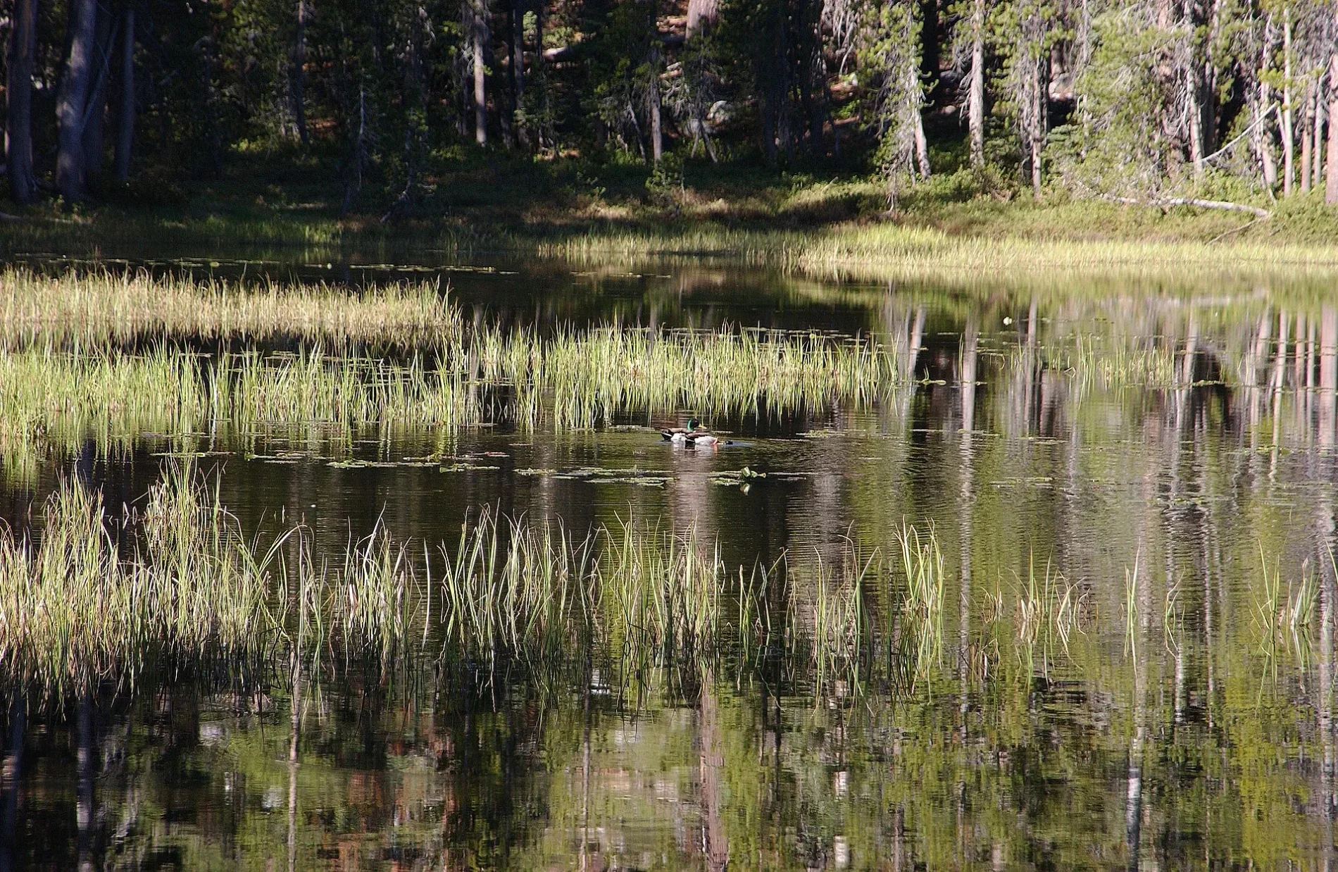
Siesta Lake in Tuolumne County, California
Siesta Lake in Tuolumne County is a water.
- Nature
- water
Image
Streets nearby
White Wolf RoadWhite Wolf Trailhead, White Wolf Lodge, Yosemite National Park - White Wolf Lodge (YOW)
1.5 mi
Old Tioga Road2.4 mi
Lukens Lake TrailLukens Lake Trailhead
2.5 mi
Tioga RoadCrane Flat Gas Station, Yosemite National Park - Crane Flat (YOF), Gin Flat, May Lake to Snow Creek Trailhead, May Lake Trailhead, View on Tenaya Lake, Forces of Change, Olmstead Point, Olmsted Point Trailhead
3.4 mi
Ten Lakes TrailTen Lakes Trailhead
4.8 mi
Tioga Pass Road5.3 mi
Campgrounds nearby
White Wolf Campground1.6 mi
Rivers nearby
Middle Tuolumne River2.4 mi
Tuolumne River5.1 mi
Streams nearby
Yosemite Creek3.9 mi
South Fork Tuolumne River4.2 mi
Morrison Creek5.0 mi
Bluejay Creek5.1 mi
Porcupine Creek5.5 mi
Long Gulch Creek5.7 mi
Valleys nearby
Little Hetch Hetchy Valley5.5 mi
Waters nearby
Lukens Lake2.5 mi
Harden Lake3.2 mi
| Elevation | 7949 |
|---|---|
| Protected area | Yosemite Wilderness |
| Located in | Tuolumne County |
| Country | United States |
| Native name | Siesta Lake |
 Public transit map Tuolumne County Legend
| Railway | |
| Bus | |
| Streetcar |
 Bicycle map Tuolumne County Legend
| Bike path | |
| Bike lane on roadway | |
| Cycling allowed on bus lane | |
| Bicycle street | |
| Open to cyclists | |
| Open to cyclists, good path | |
| Cycling prohibited | |
| Cobblestone |
| Long-distance bike route | (depending on scale) | |
| Long-distance bike route |
 Pedestrian map Tuolumne County Legend
| Path |
| Long-distance hiking trail | (depending on scale) | |
| Long-distance hiking trail | ||
| Pedestrians prohibited |