
South Moorpark Road in Thousand Oaks, California
South Moorpark Road in Thousand Oaks is an asphalted local road. It runs in a northeast-southwest direction starting from Oak Creek Drive and crosses Los Padres Drive, Rolling Oaks Drive and East Thousand Oaks Boulevard and ends at North Moorpark Road.
- Road Type
- secondary road
- Speed Limit
- 35 mph
- Route
- northeast-southwest
Image
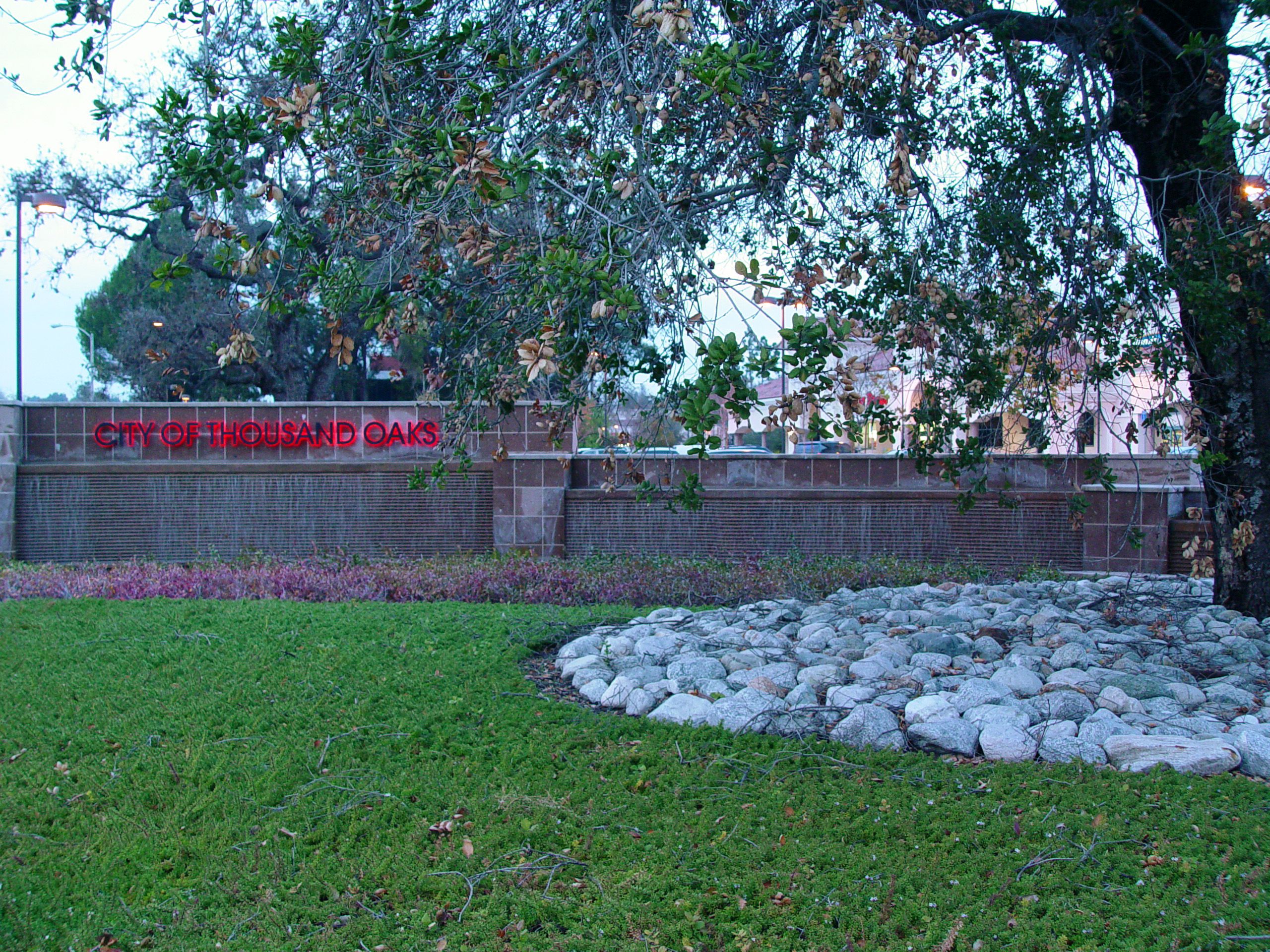
Fast food restaurants
Hotels
Cafes
Museums
Shoe stores
Restaurants
Banks
Dentist offices
Gas stations
Bus stops
- bus lines 41, 50, 52, 52X, 70, 72, 73, 73X
Clothing stores
Sporting goods stores
Supplement stores
Pharmacies
Pubs
Streets nearby
Ventura FreewayRoger Dunn Golf Shops
200 ft
Rolling Oaks DriveDr. Albert Chow
0.1 mi
West Thousand Oaks BoulevardCamboni, Big 5 Sporting Goods, Best Western Plus Thousand Oaks Inn, Ventura County Health Care Agency, Tillys
0.1 mi
East Thousand Oaks BoulevardThe Vitamin Shoppe, Thousand Oaks Boulevard & Hodencamp Road, Thousand Oaks Boulevard & Baker Avenue (Westbound, Brake Masters, First Citizens Bank (USA), Avis Budget Rent a Car, Thousand Oaks/Conejo School, Phil's, Road N Truck Accessories, JC Plumbing 'N' Things, Thousand Oaks/Westlake, Thousand Oaks Boulevard & 23 Freeway (Westbound), Thousand Oaks Boulevard & 23 Freeway (Eastbound), Discount Pool Mart, Record Outlet, Thousand Oaks Boulevard & Rancho Road, Thousand Oaks/Hampshire, Thousand Oaks, Thousand Oaks Boulevard & Skyline Drive, Thousand Oaks Boulevard & Duesenberg Drive, Slice House by Tony Gemignani, Denino's Pizzeria & Cafe, Cafe Ficelle, Thousand Oaks Boulevard & Maegan Place (Westbound), Thousand Oaks/Erbes, Subway, Nothing Bundt Cakes, Moqueca, Thousand Oaks Boulevard & Maegan Place (Eastbound), Thousand Oaks Boulevard & Baker Avenue, Social monk, Sephora, Thousand Oaks/Dallas (Gardens of the World), Thousand Oaks/Dallas (Civic Arts Plaza), Donut Depot, Rebel Violet, Thousand Oaks Boulevard & Hodencamp Road (Eastbound)), Enterprise, Sur La Table, Restoration Hardware, Thousand Oaks Boulevard & Auto Mall Drive, Thousand Oaks Boulevard & Cord Avenue, Thousand Oaks Boulevard & Lakeview Canyon Road, Lululemon, P.F. Chang's, Uba Tuba, Ash and Honey Salon, Phantom Electronics Custom Car Audio, Aquatic Zoo Tropical Fish, Thousand Oaks/Live Oak, Mouthful Eatery
0.1 mi
Plaza Way0.1 mi
North Moorpark RoadMoorpark Road & Gainsborough Road, ChargePoint, Moorpark Road at Conejo Valley Plaza (Northbound), CVS Pharmacy, Healthy (Juices), Moorpark Road & Brazil Street, West Family Dentistry, A2Z Health.net Massage School, The Bending Willow Academy, Arco, Moorpark Road & Wilbur Road, Pieology Pizzeria, Panda Express, Little Caesars
0.1 mi
Baker Avenue0.2 mi
Conejo BoulevardNoah's Bagels, Jamba, Philz Coffee, U.S. Bank
0.2 mi
Los Padres DriveLos Padres Drive & Haaland Drive
0.2 mi
Fox Hills Drive0.3 mi
West Hillcrest DriveThe Dude's Brewing Company, Hillcrest Drive & Ventu Park Road, Hillcrest Dr. & Lynn Rd., Hillcrest Drive west of Ventu Park Road, Marcello, Yomama, Establos Meat Market & Taqueria, Firefighters Museum, Chakaa Tea Cafe, Twisted Meats, Habanero Mexican Grill, Dong Ting Spring, Natural Nails, Planned Parenthood
0.3 mi
Boardwalk Avenue0.3 mi
Parker Avenue0.3 mi
Woodlet Way0.3 mi
Green Heath Place0.3 mi
Green Lea Place0.3 mi
Green Moor Place0.3 mi
Greenmeadow Avenue0.4 mi
Janss Market PlaceBuca di Beppo, Panera Bread, Old Navy, Nails
0.4 mi
West Wilbur RoadWilbur Road & Marin Street, Wilbur Road & Warwick Avenue, Cafe Rio, Peet's Coffee, Thousand Oaks Wilbur Road;Wildbur Road & West Thousand Oaks Boulevard, Regency
0.4 mi
Brazil StreetSubway, Breakers Sports Bar
0.5 mi
Marin StreetPathPoint, Chipotle, Pizza Rev, Urban Plates
0.6 mi
Arcades nearby
Chuck E. Cheese0.2 mi
Banks nearby
Ventura County Credit Union0.1 mi
Wells Fargo0.2 mi
Chase0.4 mi
Bank of America0.4 mi
Cafes nearby
Starbucks0.5 mi
Commercial areas nearby
Los Robles Medical Park0.2 mi
Fast food restaurants nearby
Dog Haus550 ft
Wingstop0.5 mi
California Fish Grill0.5 mi
Chick-fil-A0.5 mi
Fitness centers nearby
EōS Fitness0.4 mi
Golf courses nearby
Los Robles Greens Golf Course0.3 mi
Grasslands nearby
Los Robles Driving Range350 ft
Pubs nearby
Tarantula Hill Brewing Co.0.2 mi
Tipsy Goat0.2 mi
Pedals & Pints Brewing Company0.5 mi
Restaurants nearby
Urbane Cafe450 ft
Kabob Plus500 ft
Olive Garden0.5 mi
Retail areas nearby
Janss Marketplace0.3 mi
Village Court Shopping Center0.5 mi
Streams nearby
Arroyo Conejo0.2 mi
Lang Creek0.4 mi
Supermarkets nearby
Grocery Outlet0.3 mi
Theaters nearby
Conejo Players Theater0.3 mi
Trampoline parks nearby
Sky Zone0.4 mi
Public transit map Thousand Oaks Legend
| Railway | |
| Bus | |
| Streetcar |
Bicycle map Thousand Oaks Legend
| Bike path | |
| Bike lane on roadway | |
| Cycling allowed on bus lane | |
| Bicycle street | |
| Open to cyclists | |
| Open to cyclists, good path | |
| Cycling prohibited | |
| Cobblestone |
| Long-distance bike route | (depending on scale) | |
| Long-distance bike route |
Pedestrian map Thousand Oaks Legend
| Path |
| Long-distance hiking trail | (depending on scale) | |
| Long-distance hiking trail | ||
| Pedestrians prohibited |