
University Avenue in Davis, California
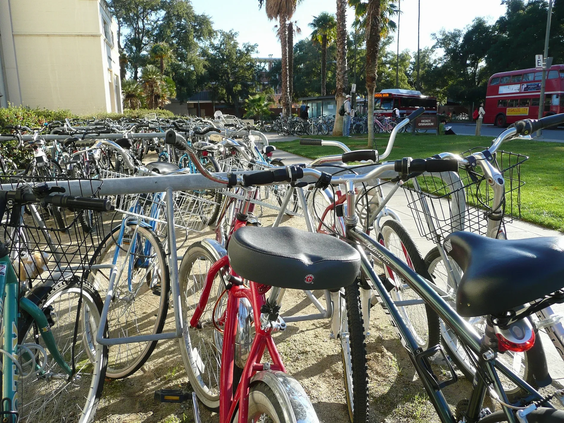
University Avenue in Davis is a residential street. It runs in a north-south direction starting from Russell Boulevard and crosses 4th Street and ends at 3rd Street. University Avenue also exists in Contra Costa County, Sonoma County, Sutter County, Los Angeles County and Kings County.
- Road Type
- residential street
- Speed Limit
- 25 mph
- Route
- north-south
Image
Schools
Driving schools
Outdoor stores
Ice cream shops
Benches
Charging stations
Restaurants
Beverage stores
Beauty salons
Bus stops
Marketplaces
Bakeries
Post offices
Streets nearby
Russell BoulevardRussell & A St (EB), Russell Blvd & A Street/City Hall (WB), Russell & Arthur St. (Westbound), Davis Academy Driving School, Arco, Shah's Halal Food, Rite Aid, Arlington Farms
200 ft
4th StreetSilver Dragon, Make Fish, Village Pizza & Grill, Natural Food Works and Farmer's Kitchen Cafe, Lazi Cow, Electrify America, Kim’s Aisian Food Mart
500 ft
Miller Drive0.1 mi
B StreetB St & 4th St / Central Park (SB), B St & 4th St / Central Park (NB), The UPS Store, Davis Joint Unified School District (DJUSD), Davis School for Independent Study (DSIS)
0.2 mi
3rd StreetOshio Cafe, Raja's Tandoor, Panera Bread, United States Post Office, El Toro Bravo, B&L Bike Shop, Newsbeat, River City Bank, Manna Korean BBQ, Zia's Delicatessen, Cafe Bernardo, Compassion Bench, University of Beer, The Good People Farms, Xi Square, 3rd and U Cafe, Ali Baba Cafe, Pho King 4 Restaurant, SPCA Yolo County Thrift Store, Cable Car Wash, 3rd St & K St (WB), 3rd St & K St (EB), Crepeville, Taste of Thai, KetMoRee, Temple Coffee
0.2 mi
Stadium Way0.2 mi
Howard WayMemorial Union Terminal
0.2 mi
A StreetiTea
0.3 mi
Rice Lane0.3 mi
East Quad AvenueStargazer, United States Post Office, Wells Fargo, The Pantry, Aggie Compass
0.3 mi
North QuadUC Davis Bookstore, Seal of the University
0.3 mi
Oak AvenueChrist Church Davis
0.4 mi
West Quad AvenueCoffee House
0.4 mi
Tennis Court Lane0.4 mi
California AvenueStone Poem, The Bike Barn, Silo Market, Aggie Reuse Store
0.4 mi
Community centers nearby
Davis Senior Center0.2 mi
International House Davis0.2 mi
Fitness centers nearby
Toomey Weight Room0.2 mi
Houses nearby
Guilbert House0.3 mi
Parking lots nearby
Quad Parking Structure0.2 mi
Parks nearby
Civic Center Park0.1 mi
College ParkLittle Free Library
0.2 mi
West Quad0.4 mi
Places of worship nearby
Sam Len Hillel House0.1 mi
Public buildings nearby
County of Yolo Davis Office Building0.1 mi
Recreation grounds nearby
Howard Field0.2 mi
A Street Intramural Field0.2 mi
Russell Field0.2 mi
Restaurants nearby
Sam's Mediterranean Cuisine0.2 mi
Sports centers nearby
Toomey Field0.2 mi
Swimming pools nearby
Hickey Pool0.2 mi
Town halls nearby
City Hall150 ft
University buildings nearby
Hickey Gym0.2 mi
Young Hall Storage Annex0.2 mi
Hunt Hall0.3 mi
Frank G. Parsons Seed Certification Center0.3 mi
North Hall0.3 mi
Conference and Event Services0.3 mi
Memorial Union0.3 mi
Dutton Hall0.3 mi
Stanley B. Freeborn Hall0.3 mi
South Hall0.4 mi
University House0.4 mi
Veihmeyer Hall0.4 mi
Plant and Environmental Sciences Building0.4 mi
Wickson Hall0.4 mi
Enology Laboratory Building0.4 mi
Wellman Hall0.4 mi
Clark Kerr Hall0.5 mi
 Public transit map Davis Legend
| Railway | |
| Bus | |
| Streetcar |
 Bicycle map Davis Legend
| Bike path | |
| Bike lane on roadway | |
| Cycling allowed on bus lane | |
| Bicycle street | |
| Open to cyclists | |
| Open to cyclists, good path | |
| Cycling prohibited | |
| Cobblestone |
| Long-distance bike route | (depending on scale) | |
| Long-distance bike route |
 Pedestrian map Davis Legend
| Path |
| Long-distance hiking trail | (depending on scale) | |
| Long-distance hiking trail | ||
| Pedestrians prohibited |