
Westwood Way in Woodland, California
Westwood Way in Woodland is a residential street. It runs in a north-south direction starting from Coloma Way and ends at Buena Tierra Drive. Westwood Way also exists in Contra Costa County, Riverside County and Alameda County.
- Road Type
- residential street
- Route
- north-south
Image
Schools
Fast food restaurants
Department stores
Stations
Banks
Pubs
Places of worship
Supermarkets
Gas stations
Furniture stores
Restaurants
Museums
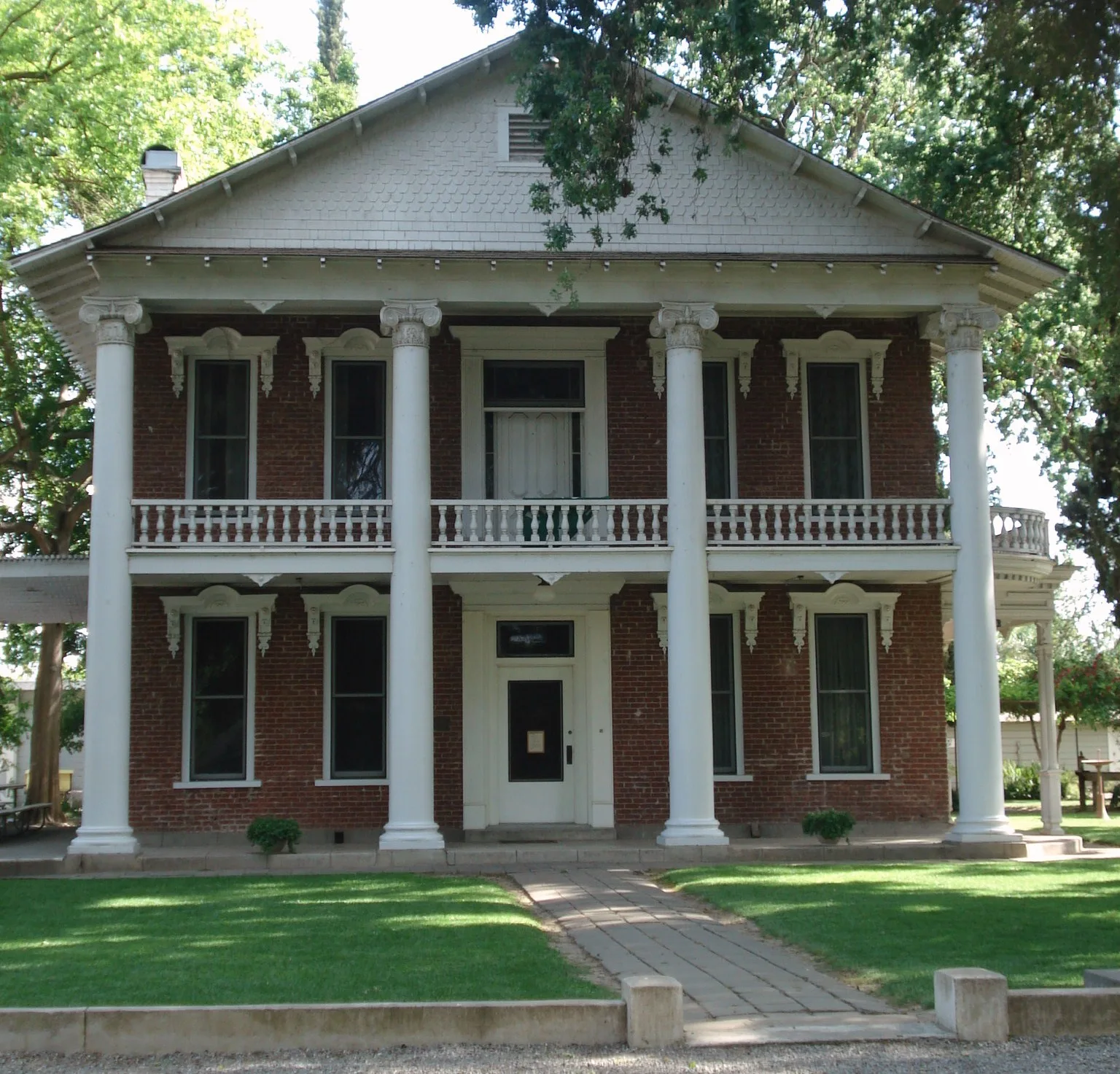
- The Gibson House (Yolo Arts & Yolo County, Web) – approx. 0.2 mi.
Charging stations
Movie theaters
Bars
Car rentals
Streets nearby
Fremont Street400 ft
Granada Drive450 ft
Rosewood Way450 ft
Buena Tierra Drive500 ft
Viento Lane0.1 mi
Hays Street0.1 mi
Gibson RoadThe Gibson House, El Pation
0.2 mi
Homewood Drive0.2 mi
Marshall Avenue0.2 mi
Auburn Way0.2 mi
College StreetDouglass Junior High School, American Lutheran Church, Christian Church of Woodland
0.2 mi
Cottage Drive0.2 mi
Norden Way0.2 mi
Abbey Court0.3 mi
6th Street0.3 mi
Camino Way0.3 mi
Truckee Way0.3 mi
Coloma Way0.3 mi
Abbey Place0.3 mi
Casa Linda Drive0.3 mi
Placer Drive0.3 mi
Truckee Place0.3 mi
Bartlett Avenue0.3 mi
Carnellan Court0.4 mi
Gum Avenue0.4 mi
Lawson Lane0.4 mi
Pendegast Street0.4 mi
Sherman Street0.4 mi
Craig Avenue0.4 mi
Pacific Street0.5 mi
Cross Street0.5 mi
East Gibson Road0.5 mi
East Gum Avenue0.5 mi
East StreetMobil, La Islitas Ostioneria, New York Pizza Pie, Cinemark Movie 5
0.6 mi
3rd StreetYolo County Jail
0.6 mi
Barbara Way0.6 mi
Helen Way0.6 mi
Buildings nearby
John Rogers Hall0.5 mi
Waite Hall0.5 mi
Exhibition Hall0.5 mi
Commercial buildings nearby
storage0.4 mi
La Isites0.5 mi
Houses nearby
Gable Mansion0.5 mi
Industrial areas nearby
Adams Grain0.3 mi
Liquor stores nearby
French's Liquor0.4 mi
Parks nearby
Gracie Hiddleson Park0.2 mi
Everman Memorial Park0.2 mi
Restaurants nearby
El Patio0.3 mi
Retail areas nearby
Olive Tree Plaza0.5 mi
 Public transit map Woodland Legend
| Railway | |
| Bus | |
| Streetcar |
 Bicycle map Woodland Legend
| Bike path | |
| Bike lane on roadway | |
| Cycling allowed on bus lane | |
| Bicycle street | |
| Open to cyclists | |
| Open to cyclists, good path | |
| Cycling prohibited | |
| Cobblestone |
| Long-distance bike route | (depending on scale) | |
| Long-distance bike route |
 Pedestrian map Woodland Legend
| Path |
| Long-distance hiking trail | (depending on scale) | |
| Long-distance hiking trail | ||
| Pedestrians prohibited |