
Craig Avenue in Woodland, California
Craig Avenue in Woodland is a residential street and it runs in an east-west direction starting from College Street and ends at 1st Street. Craig Avenue also exists in Orange County, Los Angeles County, El Dorado County, Riverside County and Alameda County.
- Road Type
- residential street
- Route
- east-west
Image
Restaurants
Bars
Tire dealers
Town halls
Car rentals
Places of worship
Car dealerships
Gas stations
Banks
Schools
Pubs
Auto parts stores
Furniture stores
Streets nearby
Lawson Lane500 ft
Dingle LaneDingle Elementary School
0.1 mi
Pendegast Street0.1 mi
Bartlett Avenue0.1 mi
Elm Street0.1 mi
Laurel Street0.2 mi
Pendegast Circle0.2 mi
Cross Street0.2 mi
Marshall Avenue0.3 mi
3rd StreetYolo County Jail
0.3 mi
Clanton Way0.3 mi
Hays Street0.3 mi
Clanton Avenue0.3 mi
Lincoln Avenue0.3 mi
College StreetChristian Church of Woodland, Douglass Junior High School, American Lutheran Church
0.3 mi
Oak AvenueNew Life Community Church
0.3 mi
2nd StreetThe Church of Jesus Christ of Latter-day Saints, Greater Second Baptist Church, Saint Lukes Episcopal Church
0.4 mi
4th StreetChurch of the Nazarene
0.4 mi
Elks Lane0.4 mi
Viento Lane0.4 mi
Granada Drive0.4 mi
Fremont Street0.4 mi
Cleveland StreetSaint Johns United Church of Christ
0.4 mi
Bush Street0.4 mi
Martin Way0.4 mi
Hermosa Place0.4 mi
Saunders Way0.4 mi
5th StreetEnterprise
0.4 mi
Park Avenue0.4 mi
Dog Gone Alley0.4 mi
Westwood Way0.4 mi
1st StreetWoodland, Dog Gone Wine Bar
0.5 mi
Casa Linda Drive0.5 mi
Main StreetTri Counties Bank, Osaka Sushi, USA Tires, Chicago Cafe, El Charro Mexican Restaurant, Father Paddy's Pub, Hoblit Chrysler Dodge Jeep RAM, Rainbow Auto Glass, Chase, Pupusería La Chicana, Dutch Bros. Coffee, Romey's Fuel Up, Umpqua Bank, River City Bank, Crazy Bakery, Nakamura Brothers Furniture
0.5 mi
Maedell Way0.5 mi
Auto repair shops nearby
Main Street Motors0.4 mi
Buildings nearby
Garden Court Professional Building0.4 mi
R.B. Cranston0.4 mi
Porter Building0.5 mi
Commercial buildings nearby
The Elks Lodge0.4 mi
Hotel Woodland0.4 mi
Houses nearby
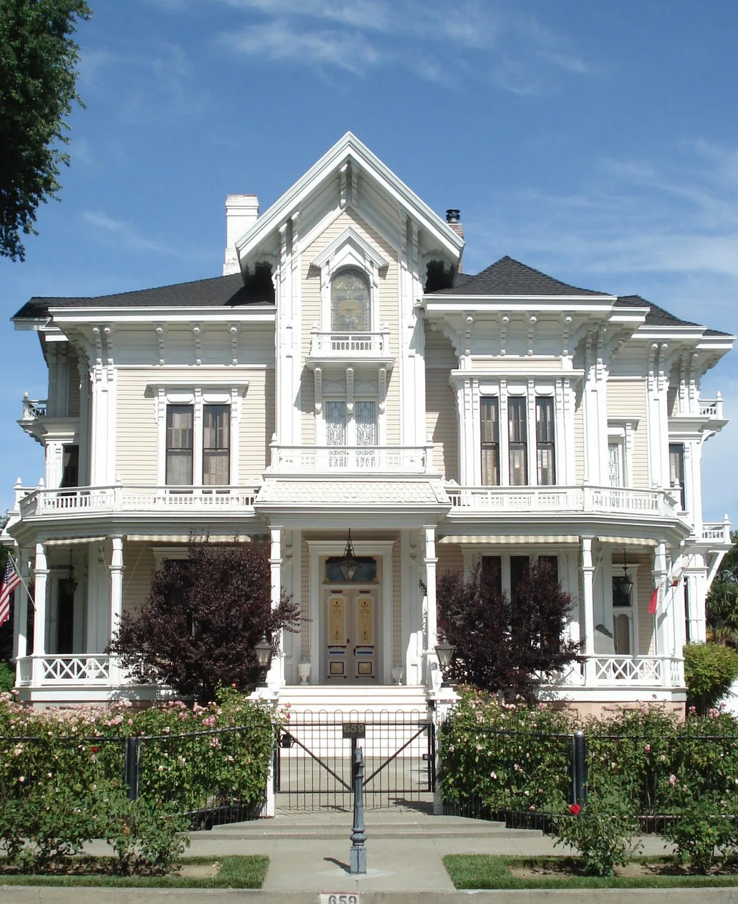
Gable Mansion0.2 mi
Movie theaters nearby
State Theatre0.4 mi
Parks nearby
City Park0.2 mi
Gracie Hiddleson Park0.4 mi
Places of worship nearby
Church of the Living Word0.4 mi
Restaurants nearby
Doggeros0.4 mi
School buildings nearby
Dingle Elementary School0.2 mi
Thrift stores nearby
The Salvation Army0.4 mi
Public transit map Woodland Legend
| Railway | |
| Bus | |
| Streetcar |
Bicycle map Woodland Legend
| Bike path | |
| Bike lane on roadway | |
| Cycling allowed on bus lane | |
| Bicycle street | |
| Open to cyclists | |
| Open to cyclists, good path | |
| Cycling prohibited | |
| Cobblestone |
| Long-distance bike route | (depending on scale) | |
| Long-distance bike route |
Pedestrian map Woodland Legend
| Path |
| Long-distance hiking trail | (depending on scale) | |
| Long-distance hiking trail | ||
| Pedestrians prohibited |