
El Dorado Drive in Woodland, California
El Dorado Drive in Woodland is a residential street. The street has bike paths (bike lane). It runs in an east-west direction starting from West el Dorado Drive and crosses West Street, McKinley Avenue, Spruce Drive, Tehama Drive, Quincy Drive, Delta Drive, College Street, Truckee Way, Donner Way, Bidwell Place and Coloma Way. It ends in a cul-de-sac. El Dorado Drive also exists in Contra Costa County, Orange County, Monterey County, Madera County and Kern County.
- Road Type
- residential street
- Bike Lane
- lane
- Route
- east-west
Image
Schools
Museums
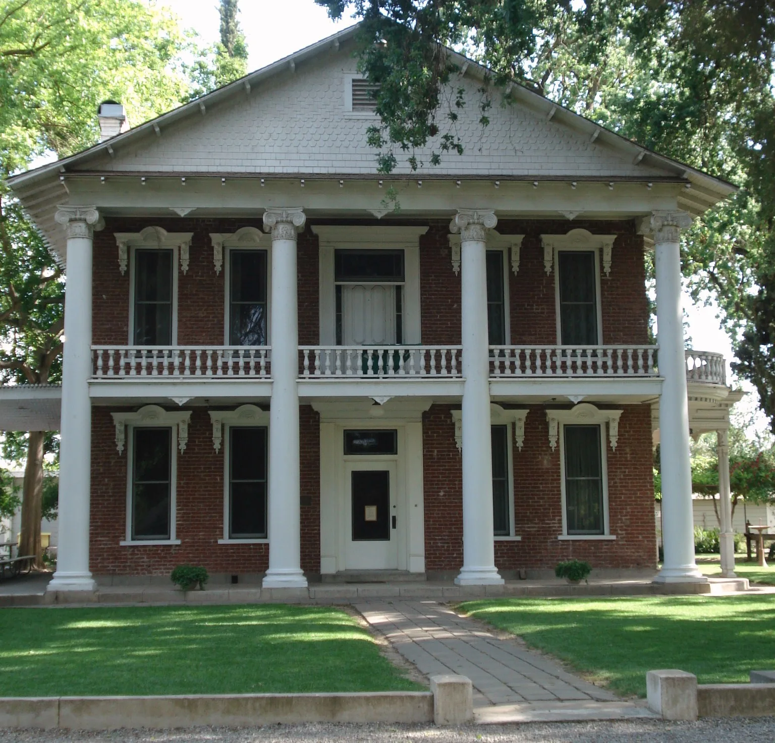
- The Gibson House (Yolo Arts & Yolo County, opening hours: Tue, Thu 12–16; Holiday closed, Web) at King George Boulevard 512 – approx. 0.3 mi.
Fast food restaurants
Supermarkets
Public clocks
Pubs
Places of worship
Charging stations
Gas stations
Restaurants
Banks
Movie theaters
Stations
Department stores
Bars
Streets nearby
College StreetAmerican Lutheran Church, Christian Church of Woodland, Douglass Junior High School
100 ft
Colusa Place300 ft
Donner Way0.1 mi
Yuba Place0.1 mi
Rubico Court0.1 mi
Quincy Drive0.2 mi
Bidwell Place0.2 mi
Procter Court0.2 mi
Donner Court0.2 mi
Placer Place0.2 mi
Placer Drive0.2 mi
Delta Drive0.2 mi
Truckee Way0.2 mi
Truckee Place0.2 mi
Norden Way0.2 mi
Carnellan Court0.2 mi
Dolores Drive0.2 mi
Tehama Drive0.2 mi
Spruce Drive0.3 mi
Camino Way0.3 mi
Sonora Place0.3 mi
Abbey Court0.3 mi
Abbey Place0.3 mi
Amador Way0.3 mi
Monte Vista Drive0.3 mi
Adobe Way0.3 mi
San Luis Street0.3 mi
Archer Drive0.3 mi
County Road 24A0.3 mi
Coloma Way0.3 mi
Auburn Way0.3 mi
Archer Place0.3 mi
Carson Street0.4 mi
Buena Tierra Drive0.4 mi
Cedar Lane0.4 mi
6th Street0.4 mi
Gibson RoadThe Gibson House, El Pation
0.4 mi
Hacienda Lane0.4 mi
McKinley Avenue0.4 mi
Del Rey Street0.4 mi
Sherman Street0.4 mi
Del Mar Street0.4 mi
Casa Linda Drive0.5 mi
Rosewood Way0.5 mi
Redwood Drive0.5 mi
Madrone Way0.5 mi
Parks nearby
William Crawford Senior Park100 ft
Gracie Hiddleson Park0.5 mi
Places of worship nearby
American Lutheran Church0.5 mi
Public transit map Woodland Legend
| Railway | |
| Bus | |
| Streetcar |
Bicycle map Woodland Legend
| Bike path | |
| Bike lane on roadway | |
| Cycling allowed on bus lane | |
| Bicycle street | |
| Open to cyclists | |
| Open to cyclists, good path | |
| Cycling prohibited | |
| Cobblestone |
| Long-distance bike route | (depending on scale) | |
| Long-distance bike route |
Pedestrian map Woodland Legend
| Path |
| Long-distance hiking trail | (depending on scale) | |
| Long-distance hiking trail | ||
| Pedestrians prohibited |