
Centennial Circle in Ward 5, District of Columbia
Centennial Circle in District of Columbia is an asphalted shared street (residents only). It runs in a Southwest direction starting from Fort Slemmer Drive Northeast and crosses Perisco Way.
- Road Type
- shared street
- Route
- southeast-northwest
Image
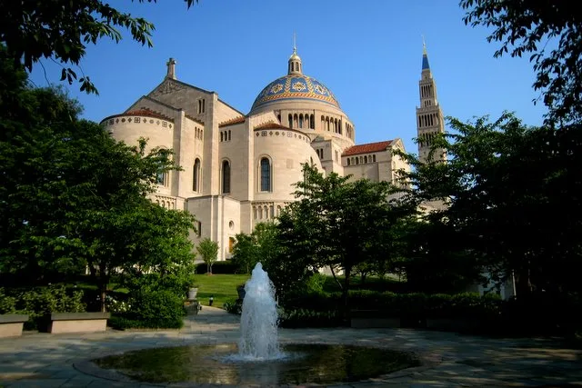
Cafes
Artworks
Hair salons
Gift shops
Marketplaces
Bike rentals
Tourist information centers
Convenience stores
Auto repair shops
Liquor stores
Bus stops
Restaurants
Post offices
Fast food restaurants
Jewelry stores
Art galleries
Streets nearby
Perisco Way350 ft
Thea Bowman Drive0.1 mi
Fort Slemmer Drive Northeast0.1 mi
Divinity WaySedes Sapiente Statue
0.1 mi
Cardinal WalkStarbucks, Murphy’s Grill
0.1 mi
University DriveCatholic University Post Office
0.2 mi
Scale Gate Road0.2 mi
Harewood Road NortheastOur Lady of Fatima, Christ Crucified
0.2 mi
Alumni Lane0.3 mi
Fitness centers nearby
Eugene I. Kane Student Health & Fitness Center350 ft
Gardens nearby
Mary's Garden0.2 mi
Parks nearby
University Lawn400 ft
University Mall0.2 mi
Places of worship nearby
Saint Vincent de Paul Chapel500 ft
Marian Scholasticate0.1 mi
Residential areas nearby
Centennial Village350 ft
Theaters nearby
Hartke Theatre0.2 mi
University buildings nearby
Quinn House100 ft
Walton House200 ft
Engelhard House200 ft
Unanue House250 ft
Reardon House250 ft
Camalier House250 ft
McDonald House300 ft
Hannan Hall300 ft
Garvey Hall350 ft
Curley Hall400 ft
Ryan Hall550 ft
Aquinas Hall550 ft
Millennium South0.1 mi
Regan Hall0.1 mi
Salve Regina Hall0.1 mi
Edward J. Pryzbyla University Center0.1 mi
Columbus School of Law0.1 mi
Caldwell Hall0.1 mi
Millennium North0.1 mi
Flather Hall0.1 mi
Opus Hall0.2 mi
Marist Hall0.2 mi
Leahy Hall0.2 mi
McMahon Hall0.2 mi
Nugent Hall0.2 mi
Marist Annex0.2 mi
Power Plant0.2 mi
O'Boyle Hall0.2 mi
Shahan Hall0.2 mi
Edward M. Crough Center for Architectural Studies0.2 mi
Pangborn Hall0.2 mi
McGivney Hall0.2 mi
Public transit map Ward 5 Legend
| Railway | |
| Bus | |
| Streetcar |
Bicycle map Ward 5 Legend
| Bike path | |
| Bike lane on roadway | |
| Cycling allowed on bus lane | |
| Bicycle street | |
| Open to cyclists | |
| Open to cyclists, good path | |
| Cycling prohibited | |
| Cobblestone |
| Long-distance bike route | (depending on scale) | |
| Long-distance bike route |
Pedestrian map Ward 5 Legend
| Path |
| Long-distance hiking trail | (depending on scale) | |
| Long-distance hiking trail | ||
| Pedestrians prohibited |