
Maine Street in Quincy, Illinois
Maine Street in Quincy is a two-lane, asphalted local road. It runs in an east-west direction starting from North 2nd Street and crosses South 2nd Street, North 3rd Street, South 3rd Street, North 4th Street, South 4th Street, North 5th Street, South 5th Street, Jail Alley, North 6th Street, North 7th Street and North 8th Street. This street is part of the highway "24". Nearby you can find among others 2 clothing stores, a place of worship, a restaurant and a jewelry store. Maine Street also exists in Shelby County.
- Road Type
- local road
- Lanes
- 2
- Speed Limit
- 30 mph
- Route
- east-west
Image
Cemeteries
Clothing stores
Jewelry stores
Museums
- History Museum on the Square (Historical Society of Quincy and Adams County, opening hours: Tue–Sat 10–16, Web) at Maine Street 332 (62301).
Streets nearby
Hampshire StreetNative Grill & Wings, Tiramisu, Thyme Square, Lloyd's Gifts & Collectibles, EFB Coffee
0.1 mi
North 12th StreetFireHouse Tavern
0.1 mi
Vermont StreetLiving World Fellowship Church, Chicks on the River
0.2 mi
Park Place0.2 mi
North 11th Street0.2 mi
North 13th Street0.2 mi
Jersey StreetMicrotel Inn & Suites by Wyndham Quincy
0.2 mi
South 14th Street0.2 mi
Broadway StreetMcDonald's, Herbal Remedies Dispensary, Madison Park Church, U.S. Cellular, Fierge, O'Reilly Auto Parts, Culver's, RISE, Tower of Pizza & Mexican, Blessing Express Clinic, Starbucks, Check 'n Go, All About Eyes, Pancheros Mexican Grill - Quincy
0.3 mi
Kentucky Street0.3 mi
North 10th StreetUnion Baptist Church
0.4 mi
North 8th StreetFirst Baptist Church
0.4 mi
York Street0.4 mi
South 12th StreetLuther Memorial Lutheran Church
0.4 mi
State StreetCalvary Baptist Church, TCBY
0.4 mi
South 16th Street0.5 mi
Ohio Street0.5 mi
York Lane0.5 mi
Fasthoff AlleyEmerson School
0.6 mi
Sourth 11th StreetUnion United Methodist Church
0.6 mi
South 13th Street0.6 mi
South 10th StreetVineyard Christian Fellowship Church
0.6 mi
South 18th StreetHope Lutheran Church
0.6 mi
Payson AvenuePayson Avenue Community Church
0.7 mi
South 15th Street0.7 mi
Washington StreetRiver of Life Christian Center
0.7 mi
Buildings nearby
Quincy Medical Group0.1 mi
Popp'n on Maine0.2 mi
Quincy Art Center0.3 mi
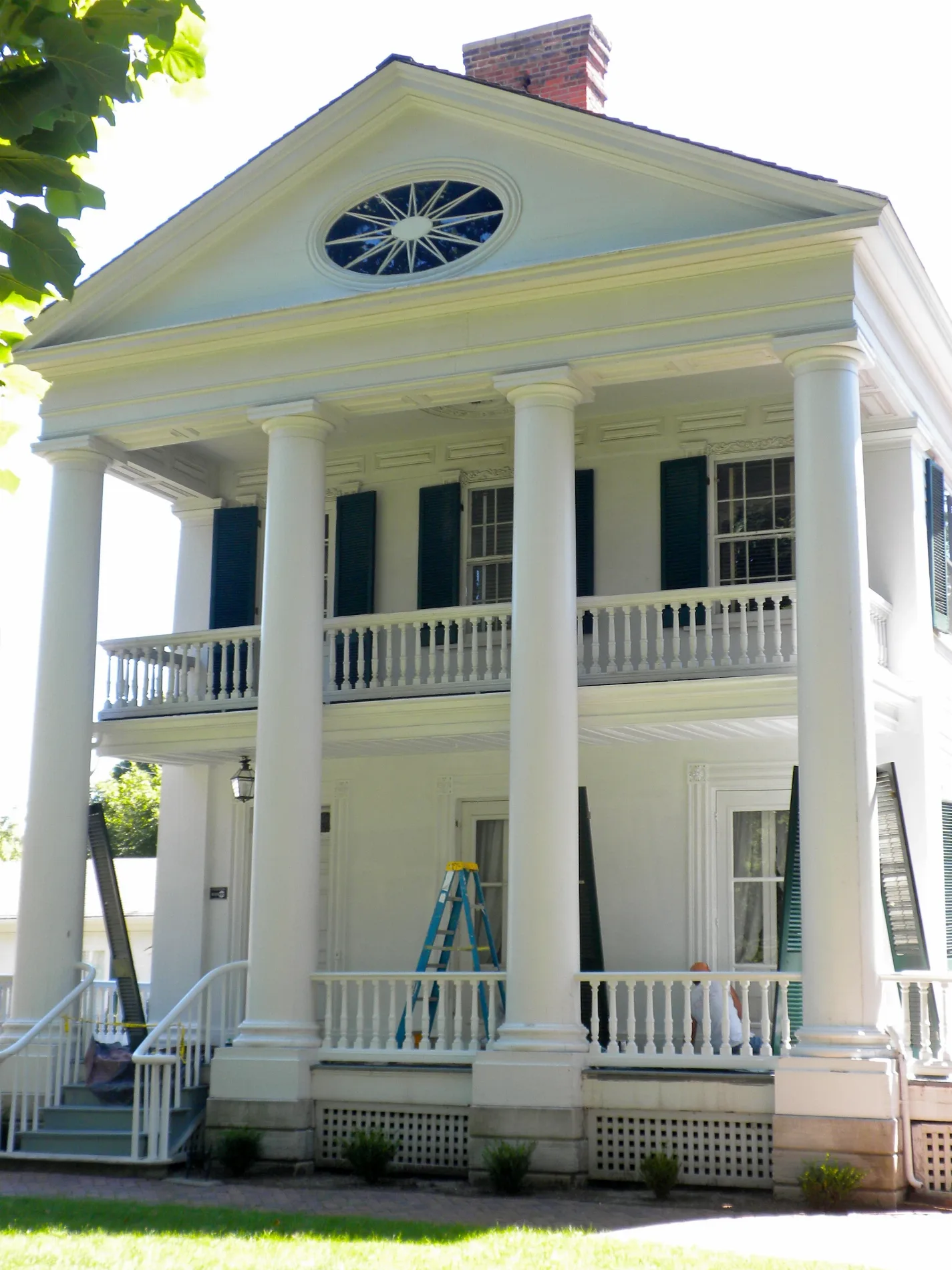
Governor John Wood Mansion0.3 mi
Quincy Post Office0.4 mi
John Wood Log Cabin0.4 mi
Quincy City Hall0.4 mi
Early Childhood Center0.4 mi
Walgreens0.5 mi
Churches nearby
Vermont Street United Methodist Church0.4 mi
Fire stations nearby
Quincy Fire Department0.3 mi
Gardens nearby
Vermont Street Church Mission Garden0.3 mi
Grasslands nearby
Quincy Montessori School0.4 mi
Hair salons nearby
Gold Line Barbershop0.3 mi
Museums nearby
Quincy Museum0.4 mi
Parks nearby
Lorenzo Bull Park0.3 mi
Salem Church Park0.5 mi
Places of worship nearby
First Union Congregational Church150 ft
St. Raphael Orthodox Mission0.5 mi
Restaurants nearby
Maid-Rite0.4 mi
Schools nearby
Quincy Junior High School0.1 mi
Shelters nearby
Salem Church Gazebo0.4 mi
Other nearby
Blessing Hospital Heliport0.3 mi
Public transit map Quincy Legend
| Railway | |
| Bus | |
| Streetcar |
Bicycle map Quincy Legend
| Bike path | |
| Bike lane on roadway | |
| Cycling allowed on bus lane | |
| Bicycle street | |
| Open to cyclists | |
| Open to cyclists, good path | |
| Cycling prohibited | |
| Cobblestone |
| Long-distance bike route | (depending on scale) | |
| Long-distance bike route |
Pedestrian map Quincy Legend
| Path |
| Long-distance hiking trail | (depending on scale) | |
| Long-distance hiking trail | ||
| Pedestrians prohibited |