
Prairie Avenue in Quincy, Illinois
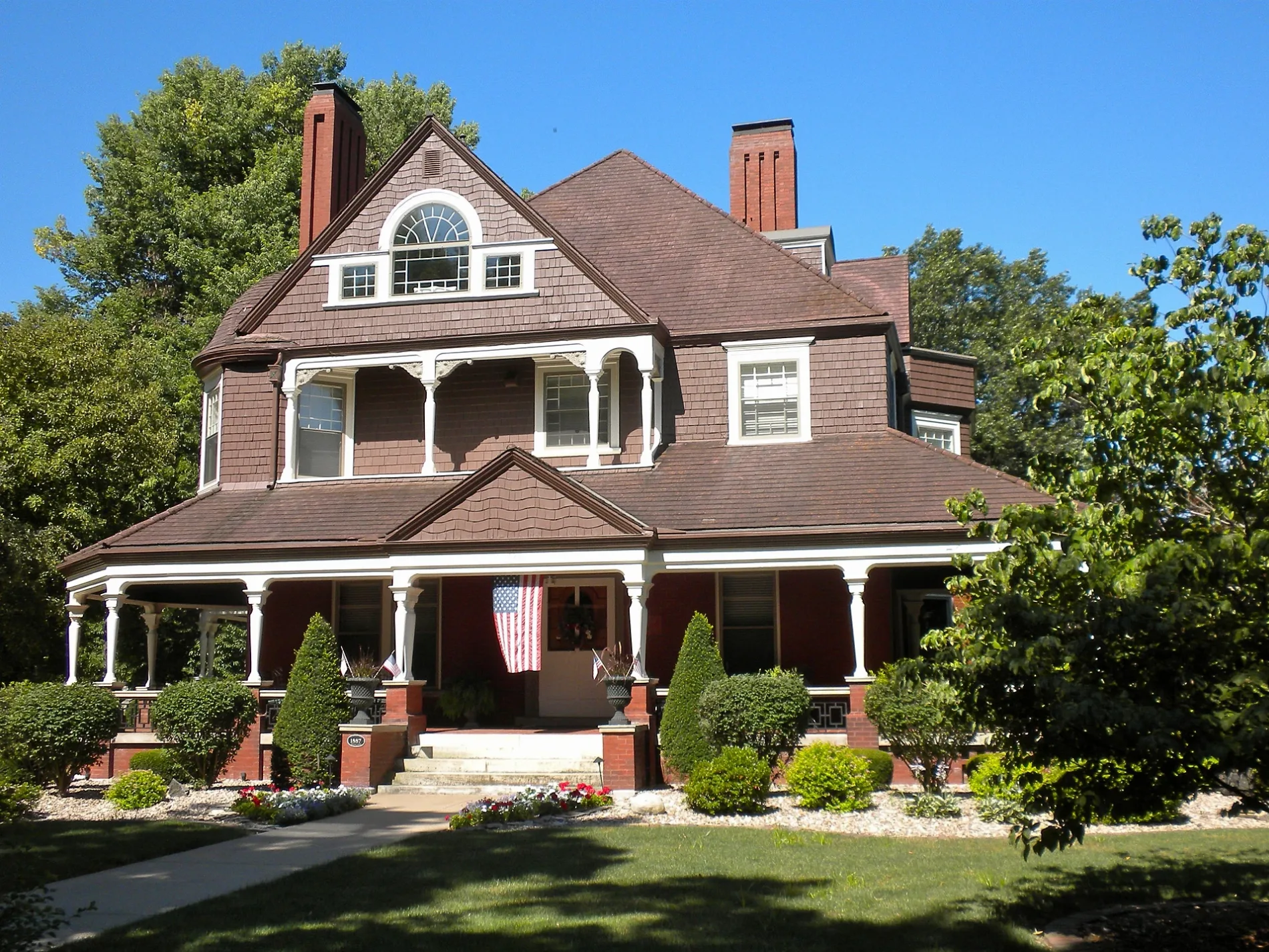
Prairie Avenue in Quincy is a residential street. It runs in an east-west direction starting from South 20th Street and crosses Division Street and ends at East Avenue. Prairie Avenue also exists in Cook County, Lake County, Will County, McHenry County and Hancock County.
- Road Type
- residential street
- Route
- east-west
Image
Cannabis dispensaries
Ice cream shops
Bakeries
Cell phone stores
Places of worship
Restaurants
Fast food restaurants
Schools
Cafes
Streets nearby
Division Street50 ft
East Avenue550 ft
West Avenue0.1 mi
Grove Avenue0.1 mi
South 21st Street0.2 mi
Aldo Boulevard0.2 mi
South 23rd Street0.2 mi
York Lane0.2 mi
South 24th StreetTrinity United Church of Christ
0.3 mi
North 22nd Street0.3 mi
South 20th Street0.3 mi
South 18th StreetHope Lutheran Church
0.3 mi
York Street0.4 mi
Madison Park0.4 mi
South 22nd Street0.4 mi
North 24th Street0.4 mi
Kentucky Road West0.5 mi
High StreetCathedral of Worship Church
0.5 mi
Quincy Country Club0.5 mi
South 16th Street0.5 mi
Anderson Court0.5 mi
Prentiss Avenue0.5 mi
North 25th Street0.5 mi
Spring Street0.5 mi
Payson AvenuePayson Avenue Community Church
0.5 mi
Kentucky Road East0.5 mi
Park Plaza0.5 mi
State StreetCalvary Baptist Church, TCBY
0.6 mi
Jersey StreetMicrotel Inn & Suites by Wyndham Quincy
0.6 mi
South 17th StreetHarrison Pub
0.6 mi
South 14th Street0.6 mi
Oak StreetBethel African Methodist Episcopal Church, Speakeasy's, Hometown Bar & Grill
0.6 mi
Washington StreetRiver of Life Christian Center
0.6 mi
North 20th StreetCedar Club
0.7 mi
Buildings nearby
Quincy Art Center0.5 mi
Walgreens0.5 mi
Industrial buildings nearby
Prairie Farms0.5 mi
Libraries nearby
Brenner Library0.7 mi
Museums nearby
Quincy Museum0.4 mi
Parks nearby
Lorenzo Bull Park0.4 mi
Places of worship nearby
St. Raphael Orthodox Mission0.4 mi
Playgrounds nearby
Madison Park Playground0.3 mi
Retail buildings nearby
County Market0.6 mi
School buildings nearby
Saint Peter's Roman Catholic Church0.5 mi
Schools nearby
Saint Peter School0.4 mi
Saint Francis School0.7 mi
Shelters nearby
Madison Park Shelter0.3 mi
Sports centers nearby
Memorial Gymnasium0.6 mi
Health and Fitness Center0.6 mi
 Public transit map Quincy Legend
| Railway | |
| Bus | |
| Streetcar |
 Bicycle map Quincy Legend
| Bike path | |
| Bike lane on roadway | |
| Cycling allowed on bus lane | |
| Bicycle street | |
| Open to cyclists | |
| Open to cyclists, good path | |
| Cycling prohibited | |
| Cobblestone |
| Long-distance bike route | (depending on scale) | |
| Long-distance bike route |
 Pedestrian map Quincy Legend
| Path |
| Long-distance hiking trail | (depending on scale) | |
| Long-distance hiking trail | ||
| Pedestrians prohibited |