
Northeast 5th Street in Casey, Illinois
Northeast 5th Street in Casey is a residential street. It runs in a north-south direction starting from East Edgar Avenue and crosses East Delaware Avenue, East Alabama Avenue and East Colorado Avenue and ends at East Main Street. Northeast 5th Street also exists in Mercer County, Henry County and Wayne County.
- Road Type
- residential street
- Route
- north-south
Image
Hotels
Attractions
Places of worship
Schools
Artworks
Cafes
Restaurants
Social facilities
Streets nearby
East Delaware Avenue200 ft
East Edgar Avenue550 ft
East Alabama AvenueFirst Baptist Church
0.1 mi
Northeast 3 1/2 Street0.1 mi
Northeast 3rd Street0.2 mi
East Main StreetRoosevelt Elementary School, Whitling Whimsy Cafe
0.2 mi
East Colorado Avenue0.2 mi
Cribelar Lane0.2 mi
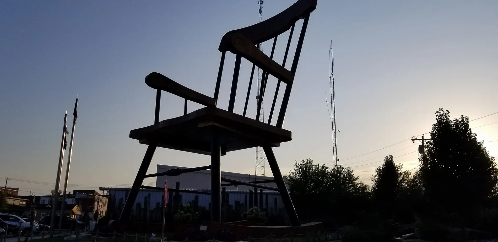
Northeast 2nd StreetCommunity Christian Church, Worlds Largest Rocking Chair
0.2 mi
Northeast 9th Street0.2 mi
Northeast 4th Street0.2 mi
Southeast 3rd StreetSaint Charles Catholic Church
0.3 mi
East Buckeye Avenue0.3 mi
East General Robey Drive0.3 mi
North 10th Street0.3 mi
Deer Run Lane0.3 mi
East Georgia Avenue0.3 mi
Staley Avenue0.3 mi
North Central Avenue0.3 mi
West Edgar AvenueHeartland Nursing Center
0.3 mi
Northeast 1st StreetCasey Cumberland Presbyterian Church
0.4 mi
North Bond Street0.4 mi
East Washington Avenue0.4 mi
Opal Street0.4 mi
East Flicker Road0.4 mi
Southeast 8th Street0.4 mi
East Wren Road0.4 mi
East Jefferson Avenue0.4 mi
Southeast 10th Street0.4 mi
West Buckeye Avenue0.5 mi
East Adams Avenue0.5 mi
Northwest 1st Street0.5 mi
Southeast 6th Street0.5 mi
Southwest 1st Street0.5 mi
East Madison Avenue0.5 mi
Southeast 5th Street0.5 mi
Southeast 7th Street0.5 mi
Southeast 2nd Street0.5 mi
Southeast 4th Street0.5 mi
East Monroe Avenue0.5 mi
South Central AvenueEighteen-Ninety Sleepover
0.6 mi
Southeast 1st StreetCasey, Wesleyan Church
0.6 mi
Bernie Morgan Way0.6 mi
Abandoned railways nearby
Kansas and Sidell Railroad0.4 mi
Cemeteries nearby
Cumberland Baptist Cemetery0.3 mi
Convenience stores nearby
Casey's General Store0.4 mi
Libraries nearby
Casey Township Library0.2 mi
Railways nearby
CSX St. Louis Line Subdivision0.5 mi
Town halls nearby
Casey City Building0.3 mi
 Public transit map Casey Legend
| Railway | |
| Bus | |
| Streetcar |
 Bicycle map Casey Legend
| Bike path | |
| Bike lane on roadway | |
| Cycling allowed on bus lane | |
| Bicycle street | |
| Open to cyclists | |
| Open to cyclists, good path | |
| Cycling prohibited | |
| Cobblestone |
| Long-distance bike route | (depending on scale) | |
| Long-distance bike route |
 Pedestrian map Casey Legend
| Path |
| Long-distance hiking trail | (depending on scale) | |
| Long-distance hiking trail | ||
| Pedestrians prohibited |