
South Halsted Street in Chicago Heights, Illinois
South Halsted Street in Chicago Heights is a main road (Road number IL 1). It runs in a north-south direction starting from East Main Street and crosses East 21st Street, East 23rd Street, East 24th Street and East 25th Street. It ends in a cul-de-sac. South Halsted Street is also known as Halsted St. This street is part of the highway "1". Nearby there is among others a cell phone store. The nearest stops include Halsted & 12th Street, Halsted & 13th Street, Halsted & Lincoln Hwy, Halsted & 15th Street and Halsted & 15th Street/Emerald. The bus lines 352, 357, 358, 360 and 890 serve this stop. South Halsted Street also exists in Glenwood. Ⓦ.
- Road Type
- residential street
- Route
- north-south
Image
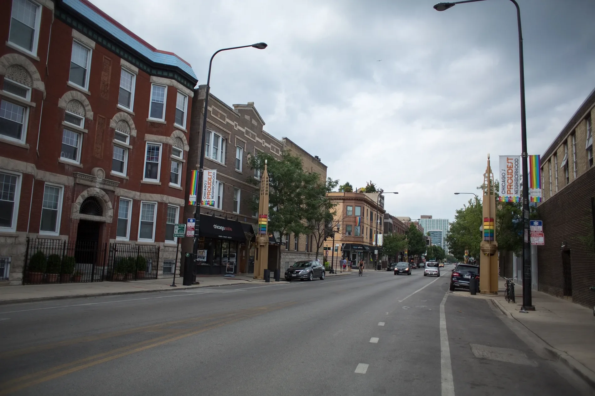
Cell phone stores
Bus stops
- bus lines 352, 357, 358, 360, 890
Streets nearby
East 21st Street0.1 mi
East Main Street0.1 mi
East 24th Street0.1 mi
Chicago RoadLincoln on the Road to Greatness, Arche Fountain
0.2 mi
East 23rd Street0.2 mi
Circle Court0.2 mi
West 23rd Street0.2 mi
East 25th Street0.2 mi
Forest Avenue0.2 mi
West 24th Street0.2 mi
19th Place0.2 mi
Ash Street0.3 mi
Union Avenue0.3 mi
East 26th Street0.3 mi
West 21st Street0.3 mi
West 26th Street0.3 mi
Independence Road0.3 mi
Aberdeen Street0.3 mi
19th Street0.3 mi
Paulsen Avenue0.3 mi
West 25th Street0.3 mi
East End Avenue0.3 mi
Interocean Avenue0.3 mi
Illinois Street0.3 mi
Oak Street0.4 mi
Wallace StreetElim Pentecostal Holiness Church
0.4 mi
Commercial AvenueCornerstone Christian School
0.4 mi
East 27th Street0.4 mi
East 17th Street0.4 mi
17th Street17th Street & Halsted
0.4 mi
West Main StreetSaint Anne School
0.4 mi
Euclid Avenue0.4 mi
West 27th Street0.4 mi
West Hickory Street0.4 mi
Thorn Creek Orange Paved Spur0.5 mi
Cemeteries nearby
Bloom Presbyterian Cemetery200 ft
Clinics nearby
Fresenius Kidney Care0.3 mi
Office buildings nearby
Housing Authority of Cook County;Central Management Office0.3 mi
AT&T Chicago Heights Central Office0.4 mi
Parks nearby
Petrarca Park0.3 mi
Jirtle Park0.4 mi
Euclid Park0.4 mi
Places of worship nearby
Fellowship Baptist Church0.4 mi
Railways nearby
Matteson Subdivision0.1 mi
Villa Grove Subdivision0.4 mi
Residential areas nearby
Golden Towers0.3 mi
Retail areas nearby
1720 Plaza0.3 mi
Secondhand stores nearby
Village Discount Outlet0.2 mi
Supermarkets nearby
Heights Fresh Market0.4 mi
| Named after | Caleb O. Halsted |
|---|---|
| Located in | Chicago |
| Country | United States |
Public transit map Chicago Heights Legend
| Railway | |
| Bus | |
| Streetcar |
Bicycle map Chicago Heights Legend
| Bike path | |
| Bike lane on roadway | |
| Cycling allowed on bus lane | |
| Bicycle street | |
| Open to cyclists | |
| Open to cyclists, good path | |
| Cycling prohibited | |
| Cobblestone |
| Long-distance bike route | (depending on scale) | |
| Long-distance bike route |
Pedestrian map Chicago Heights Legend
| Path |
| Long-distance hiking trail | (depending on scale) | |
| Long-distance hiking trail | ||
| Pedestrians prohibited |