
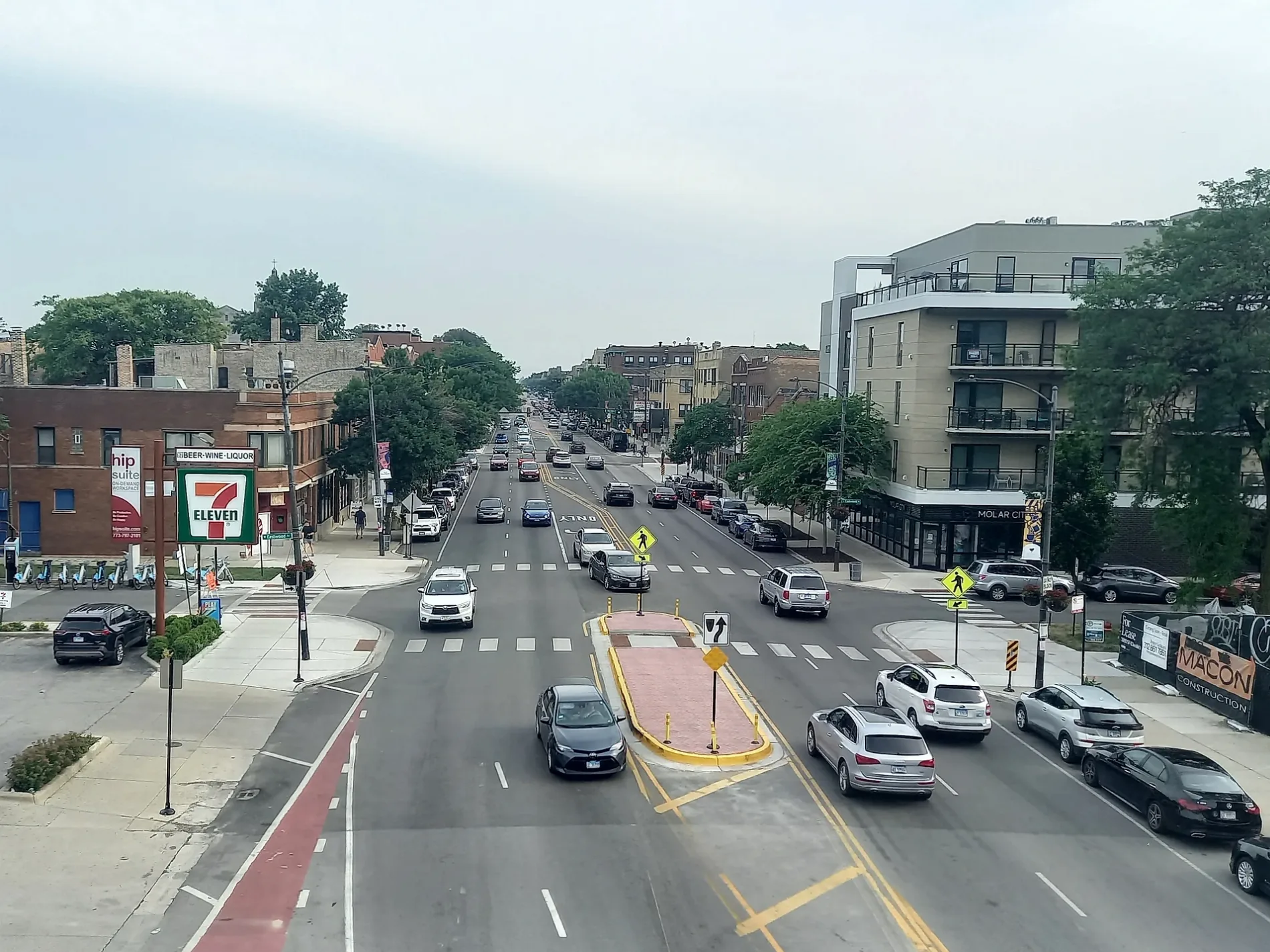
Western Avenue in Flossmoor, Illinois
Western Avenue in Flossmoor is a local road. It runs in a north-south direction and crosses Hutchison Road, Vardon Lane, Vardon Place, Carroll Parkway, Flossmoor Road, Robertson Lane, Hawthorne Lane, Golfview Lane, Caddy Street, Dundonald Lane, Braeburn Avenue and Brookwood Drive. Western Avenue is also known as 2400 W. Western Avenue also exists in Chicago Heights. Ⓦ.
- Road Type
- local road
- Route
- north-south
Hair salons
Vending machines
Music stores
Candy stores
Schools
Pharmacies
Dentist offices
Stations
Beauty salons
Interior decorators
Town halls
Places of worship
Restaurants
Platforms
Gift shops
Delis
Pet stores
Fire stations
Banks
Streets nearby
Vardon Place0.1 mi
Robertson Lane0.1 mi
Brassie Avenue0.1 mi
Mast Court0.2 mi
Golfview Lane0.2 mi
Central DriveCutters, Healthy Hounds
0.2 mi
Carroll Parkway0.3 mi
Gardner Road0.3 mi
Caddy Street0.3 mi
Travers Lane0.4 mi
Mc Donald Lane0.4 mi
Hawthorne Lane0.4 mi
Leavitt Avenue0.4 mi
Argyle Avenue0.4 mi
Sterling AvenueFlossmoor, Metra, The Villager Card & Gift Shop, The Bistro on Sterling, Thairapy Beauty & Wellness, Ruby Ella Sweets, Dunning's Market, Conservatory Vintage & Vinyl
0.4 mi
Emelia Court0.4 mi
Arquilla Lane0.4 mi
Hagen Lane0.4 mi
Flossmoor RoadInfant Jesus of Prague School, All Smiles Orthodontics, Doyle Designed Salon, Every Tooth Counts, Gypsy Fix, Flossmoor, Flossmoor Village Hall, Flossmoor Fire Department, CVS Pharmacy
0.4 mi
Bruce Avenue0.4 mi
Hutchison Road0.5 mi
Cummings Lane0.5 mi
Evans Road0.5 mi
Marston Lane0.5 mi
Burns Avenue0.5 mi
Wallace Drive0.5 mi
Brumley Drive0.5 mi
Dundee Avenue0.5 mi
Gordon Drive0.5 mi
Vardon Lane0.5 mi
Brumley Road0.6 mi
Collett Lane0.6 mi
Downey Road0.6 mi
Perth Avenue0.6 mi
Palmer Circle0.6 mi
Golfview Avenue0.6 mi
Klimm Avenue0.7 mi
Libraries nearby
Flossmoor Public Library0.2 mi
Parks nearby
Flossmoor Park0.2 mi
Leavitt Avenue Park0.4 mi
Millennium Park0.5 mi
Places of worship nearby
Flossmoor Community Church0.3 mi
Community House - Flossmoor Community Church0.3 mi
Church of Saint John the Evangelist0.4 mi
Infant Jesus of Prague Church0.4 mi
Post offices nearby
Flossmoor Post Office0.3 mi
Railways nearby
Chicago Subdivision0.3 mi
Restaurants nearby
Flossmoor Station Restaurant & Brewery0.2 mi
School buildings nearby
Flossmoor Montesorri School0.4 mi
| Located in | Park Forest, Chicago |
|---|---|
| Country | United States |
Public transit map Flossmoor Legend
| Railway | |
| Bus | |
| Streetcar |
Bicycle map Flossmoor Legend
| Bike path | |
| Bike lane on roadway | |
| Cycling allowed on bus lane | |
| Bicycle street | |
| Open to cyclists | |
| Open to cyclists, good path | |
| Cycling prohibited | |
| Cobblestone |
| Long-distance bike route | (depending on scale) | |
| Long-distance bike route |
Pedestrian map Flossmoor Legend
| Path |
| Long-distance hiking trail | (depending on scale) | |
| Long-distance hiking trail | ||
| Pedestrians prohibited |