
West 127th Street in Blue Island, Illinois
West 127th Street in Blue Island is a five-lane secondary road. It runs in an east-west direction and crosses Greenwood Avenue, Maple Avenue, Elm Street, Highland Avenue, Fairview Avenue, California Avenue, Mozart Street, Francisco Avenue, Wahl Street, Sacramento Avenue, Minnesota Avenue and South Kedzie Avenue. West 127th Street is also known as Burr Oak Avenue. Nearby there is among others an ice cream shop. The nearest stops include 127th Street & Sacramento, 127th Street & Highland, 127th Street & California, 127th Street & Francisco and Prairie Street. The bus lines 348, 349 and 385 as well as the train route RI serve this stop. West 127th Street also exists in Palos Heights and Worth Township.
- Alternate Name
- Burr Oak Avenue
- Road Type
- secondary road
- Lanes
- 5
- Route
- east-west
Image
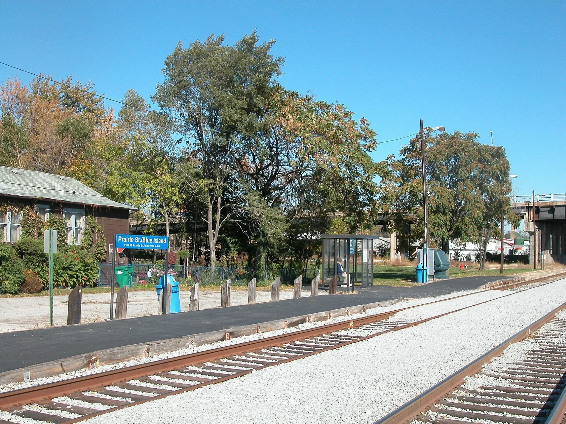
Bus stops
- bus lines 348, 349, 385
Streets nearby
Gregory StreetVermont & Rexford, Church of the Nazarene, Orchard Street Christian Church, Gregory & Union
450 ft
Vincennes Avenue119th Street
500 ft
Olive Street0.1 mi
Vernon StreetJimmy John's, Metro by T-Mobile, Little Caesars, Western & Vernon
0.1 mi
Birdsall StreetWestern & Birdsall
0.1 mi
Prairie StreetPrairie Street, Grace Methodist Church
0.2 mi
Walnut Street0.2 mi
Davis Street0.2 mi
Lewis Street0.2 mi
Florence Street0.2 mi
Oak StreetWood & Oak/128th Street, Saint Aidan's Episcopal Church
0.2 mi
Western AvenueWestern & 136th Street, Western & 139th Street, Western & Union, Western & Oak, Dixie Highway, Western & Broadway, Western & Vermont, Western & 119th Street, Western & 120th Street, Subway, Western & 123rd Street, Fresenius Kidney Care, Western & York, Western & 127th Street, Western & 135th Place, Western & 135th Street/Des Plaines, Western & 121st Street
0.2 mi
Irving Avenue0.2 mi
Greenwood AvenueSaint Peter and Saint Paul Slovak Lutheran Church
0.3 mi
Cochran StreetWestern & Cochran
0.3 mi
Ann StreetFirst Lutheran School, First Evangelical Lutheran School, Council Oak Montessori School
0.3 mi
High StreetSalem Evangelical Lutheran School, Salem Evangelical Lutheran Church
0.3 mi
Maple Avenue0.4 mi
York StreetFirst Congregational Church, Blue Island, The Lyric Theater, Western Union, Sonrisa Family Dental, Gregory & York
0.4 mi
New Street0.4 mi
Elm Street0.4 mi
Highland Avenue0.5 mi
Vermont StreetVermont & Western, Vermont & Greenwood, Vermont & Hoyne, Vermont & Division, Vermont & Wood, Vermont & Maple, Blue Island (Vermont Street), Blue Island, Vermont & Irving (Metra), Metra, Dunkin', Vermont & Rexford
0.5 mi
Artesian Avenue0.5 mi
Auto repair shops nearby
Valvoline200 ft
Clinics nearby
Blue Island Health Center0.1 mi
Colleges nearby
Moraine Valley Community College Education Center at Blue Island0.4 mi
Fast food restaurants nearby
White Castle150 ft
Dunkin'250 ft
Fire stations nearby
Blue Island Fire Department0.5 mi
Funeral homes nearby
Krueger Funeral Home0.5 mi
Gas stations nearby
Thorntons400 ft
Houses nearby
Aaron Heimbach House0.5 mi
Libraries nearby
Blue Island Public Library0.4 mi
Office buildings nearby
AT&T Blue Island Central Office0.3 mi
Parks nearby
Central Park0.3 mi
Memorial Park0.5 mi
Places of worship nearby
First Church of Christ Scientist0.3 mi
Saint Benedict Roman Catholic Church0.4 mi
Police stations nearby
Blue Island Police Department0.5 mi
Public buildings nearby
Calumet Township Office0.4 mi
Rental services nearby
U-Haul0.2 mi
Restaurants nearby
Beggars Pizza350 ft
School buildings nearby
Kerr Middle School0.4 mi
Schools nearby
Saint Benedict School0.4 mi
Town halls nearby
City Hall East Annex0.5 mi
Blue Island City Hall0.5 mi
Variety stores nearby
Dollar Tree400 ft
Family Dollar0.5 mi
Public transit map Blue Island Legend
| Railway | |
| Bus | |
| Streetcar |
Bicycle map Blue Island Legend
| Bike path | |
| Bike lane on roadway | |
| Cycling allowed on bus lane | |
| Bicycle street | |
| Open to cyclists | |
| Open to cyclists, good path | |
| Cycling prohibited | |
| Cobblestone |
| Long-distance bike route | (depending on scale) | |
| Long-distance bike route |
Pedestrian map Blue Island Legend
| Path |
| Long-distance hiking trail | (depending on scale) | |
| Long-distance hiking trail | ||
| Pedestrians prohibited |