
Western Avenue in Blue Island, Illinois
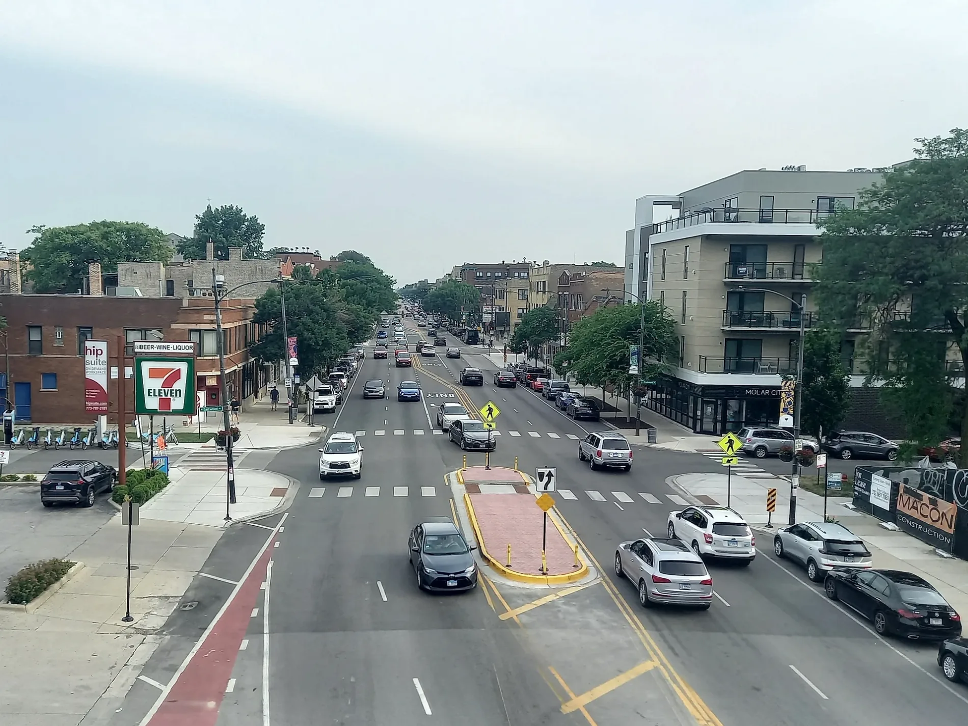
Western Avenue in Blue Island is a secondary road. It runs in a north-south direction and crosses Prairie Street, West 127th Street, Vermont Street, New Street, York Street, High Street, Union Street, Walnut Street, Oak Street, Birdsall Street, Vernon Street and Lewis Street. Western Avenue is also known as 2400 W. Nearby you can find among others a tourist information, a fast food restaurant and a clinic. The nearest stops include Western & 136th Street, Western & 139th Street, Western & Union, Western & Oak and Western & Broadway. The bus lines 348, 349 and 385 serve this stop. Ⓦ.
- Road Type
- secondary road
- Route
- north-south
Bus stops
- bus lines 348, 349, 385
Tourist information centers
Clinics
Streets nearby
138th StreetMother of Sorrows Convent
0.2 mi
139th Place0.3 mi
139th Street0.3 mi
136th Street0.3 mi
Old Western Avenue0.3 mi
135th Street0.3 mi
Chatham Street0.3 mi
Des Plaines Street0.3 mi
Rexford Street0.3 mi
135th PlaceHarvey Junction, U-Haul
0.4 mi
Cleveland Avenue0.4 mi
West 139th Street0.4 mi
Packard Drive0.4 mi
140th Place0.4 mi
Maple Street0.4 mi
Market Street0.4 mi
Ann StreetFirst Lutheran School, First Evangelical Lutheran School, Council Oak Montessori School
0.4 mi
140th Street0.4 mi
Irving Avenue0.4 mi
Kott Street0.4 mi
141st Street0.5 mi
Gregory StreetVermont & Rexford, Church of the Nazarene, Orchard Street Christian Church, Gregory & Union
0.5 mi
Greenwood AvenueSaint Peter and Saint Paul Slovak Lutheran Church
0.5 mi
Elm Street0.5 mi
Cal-Sag Trail0.6 mi
Chicago Street0.6 mi
142nd Street0.6 mi
Hoyne Avenue0.6 mi
Division Street0.6 mi
Broadway0.6 mi
Seeley Avenue0.6 mi
Thornton Road0.6 mi
Leavitt Avenue0.7 mi
Convenience stores nearby
Mobil Mart0.4 mi
Gas stations nearby
Mobil0.4 mi
Industrial areas nearby
Chicago Magnesium Casting0.7 mi
Pubs nearby
Rock Island Public House0.5 mi
Railways nearby
West Leg of Wye0.3 mi
Indiana Harbor Belt Mainline0.3 mi
Spudhouse Lead0.3 mi
Chicago Heights Subdivision0.4 mi
Barr Subdivision0.4 mi
Elsdon Subdivision0.4 mi
Joliet Sub District0.4 mi
Metra Siding0.4 mi
Middle Lead0.6 mi
North Lead0.7 mi
South Lead0.7 mi
Rivers nearby
Little Calumet River0.6 mi
| Located in | Park Forest, Chicago |
|---|---|
| Country | United States |
Public transit map Blue Island Legend
| Railway | |
| Bus | |
| Streetcar |
Bicycle map Blue Island Legend
| Bike path | |
| Bike lane on roadway | |
| Cycling allowed on bus lane | |
| Bicycle street | |
| Open to cyclists | |
| Open to cyclists, good path | |
| Cycling prohibited | |
| Cobblestone |
| Long-distance bike route | (depending on scale) | |
| Long-distance bike route |
Pedestrian map Blue Island Legend
| Path |
| Long-distance hiking trail | (depending on scale) | |
| Long-distance hiking trail | ||
| Pedestrians prohibited |