
Pulaski Road in Midlothian, Illinois
Pulaski Road in Midlothian is a three-lane secondary road. It runs in a north-south direction and crosses 143rd Street, South Claire Boulevard, 144th Street, 145th Street, 146th Street, 147th Street, 147th Place, 148th Street, 149th Street, 148th Place, 150th Street and Willow Crest Court. It ends in a cul-de-sac. Nearby you can find among others a fast food restaurant, a beauty salon and a tire dealer. The nearest bus stop is 147th Street & Crawford/Pulaski (about 750 m away). Pulaski Road also exists in Hazel Crest. Ⓦ.
- Road Type
- secondary road
- Lanes
- 3
- Route
- north-south
Image
Fast food restaurants
Tire dealers
Streets nearby
Springfield Avenue0.1 mi
Kedvale Avenue0.2 mi
145th StreetFamily Dollar, Kedzie & 145th Street
0.2 mi
South Claire BoulevardSaint Peter Claver Church, Claire & Sacramento, Robbins Seventh Day Adventist Church, Claire & 139th Street, Claire & Hendricks, Claire & 135th Street
0.3 mi
146th Street0.4 mi
144th StreetSave-A-Lot
0.4 mi
Karlov Avenue0.4 mi
Avers Avenue0.4 mi
142nd Street0.4 mi
Maxey Court0.4 mi
Kildare Avenue0.4 mi
141st Street0.4 mi
Harding Avenue0.4 mi
Millard Avenue0.4 mi
Keystone Avenue0.5 mi
Kolin Avenue0.5 mi
Waverly Avenue0.5 mi
Hamlin Avenue0.5 mi
Tripp Avenue0.5 mi
147th StreetMidlothian Bible Church, Midlothian, 147th Street & Hamlin (Metra), 147th Street & Lawndale, 147th Street & Waverly (Metra), 147th Street & Kedzie, 147th Street & Crawford/Pulaski, Western Union, 147th Street & Cicero, CVS Pharmacy, Rosati's
0.5 mi
Lawndale AvenueOne Hundred Thirtyninth Street House of God
0.5 mi
Frontage Road0.5 mi
Keeler Avenue0.5 mi
140th Street0.6 mi
141st Place0.6 mi
West 140th Place0.6 mi
Kostner Avenue0.6 mi
139th Place0.6 mi
Tri-State Tollway0.6 mi
Ridgeway Avenue0.6 mi
138th Place0.6 mi
West Midlothian TurnpikeCitgo
0.7 mi
West 137th StreetMidlothian Turnpike & Pulaski
0.7 mi
West 138th Street0.7 mi
Bunkers nearby
Crestwood Armory0.7 mi
Cafes nearby
Berryfield Cafe0.5 mi
Convenience stores nearby
Mobil Mart0.2 mi
Amoco0.5 mi
Fast food restaurants nearby
Popeyes0.3 mi
KFC0.3 mi
McDonald's0.4 mi
Dunkin'0.4 mi
Gas stations nearby
Mobil0.2 mi
Shell0.2 mi
Military areas nearby
Illinois National Guard Crestwood Armory0.7 mi
Parks nearby
Lindsey Park0.7 mi
Police stations nearby
Midlothian Police Department400 ft
Schools nearby
Saint Christopher School0.5 mi
Streams nearby
Natalie Creek0.4 mi
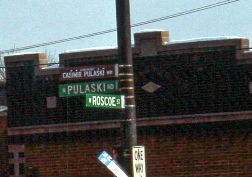
| Named after | Casimir Pulaski |
|---|---|
| Located in | Chicago |
| Country | United States |
 Public transit map Midlothian Legend
| Railway | |
| Bus | |
| Streetcar |
 Bicycle map Midlothian Legend
| Bike path | |
| Bike lane on roadway | |
| Cycling allowed on bus lane | |
| Bicycle street | |
| Open to cyclists | |
| Open to cyclists, good path | |
| Cycling prohibited | |
| Cobblestone |
| Long-distance bike route | (depending on scale) | |
| Long-distance bike route |
 Pedestrian map Midlothian Legend
| Path |
| Long-distance hiking trail | (depending on scale) | |
| Long-distance hiking trail | ||
| Pedestrians prohibited |