
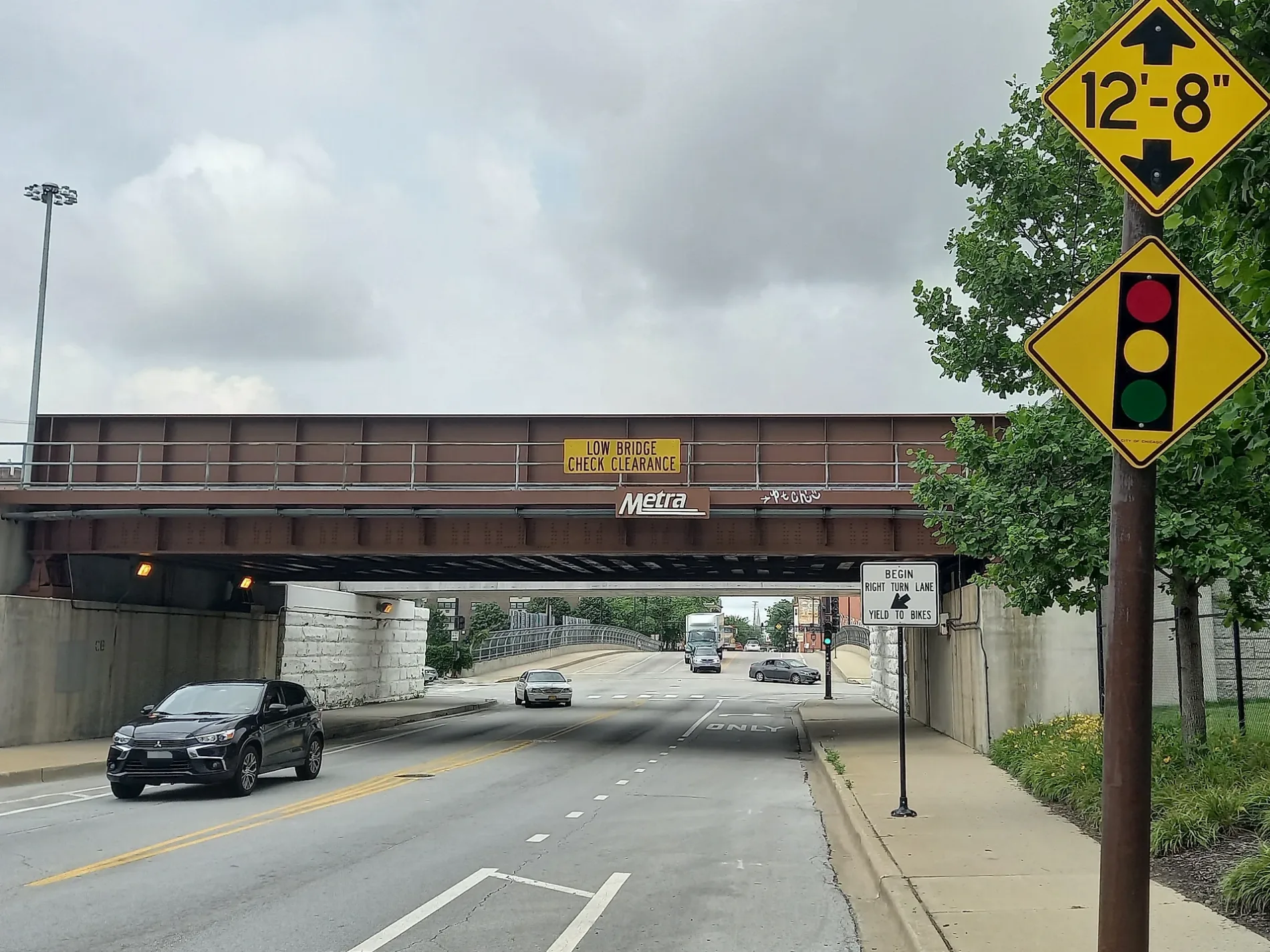
West 31st Street in Cicero, Illinois
West 31st Street in Cook County is a secondary road. It runs in an east-west direction starting from South Lombard Avenue and crosses South 61st Court, South 61st Avenue, South 60th Court, South Austin Boulevard, South 59th Avenue, South Central Avenue, South 55th Court, South 55th Avenue, South 54th Court, South 54th Avenue and South 53rd Court. It connects South Lawndale, Cicero and Lower West Side. West 31st Street is also known as East 31st Street. Nearby you can find among others a cell phone store, a bar and a fast food restaurant. The nearest stops are Austin & 31st Street, Cicero & 31st Street, 31st Street & Cicero, 31st Street & Laramie and Laramie & 31st Street. The bus lines 35, 54B, 315, 316 and 392 serve this stop.
- Road Type
- residential street
- Route
- east-west
Image
Bus stops
- bus lines 35, 54B, 315, 316, 392
Streets nearby
West Ogden AvenueCicero, Dunkin'
0.1 mi
West 29th StreetAustin & 29th Street, Cicero & 29th Street
0.2 mi
South Austin BoulevardAustin & Ogden, Austin & 33rd Street, Austin & 34th Street, Austin & 24th Street, Austin & 25th Street, Arco, Austin & 36th Street, Austin & 37th Street, Austin & 38th Street, Austin & Roosevelt, Austin & 13th Street, Austin & 14th Street, Austin & 18th Street, Austin & 19th Street, Austin & 21st Street, Austin & 31st Street, Austin & Cermak, Clyde, Austin & 15th Street, Austin & 23rd Street, Austin & 28th Street, Bethany Tabernacle, Austin & 26th Street, Austin & 27th Street, Austin & 16th Street, Austin & 35th Street
0.2 mi
South 59th Court0.2 mi
South 60th Court0.3 mi
West 28th StreetBerean Bible Student's Church
0.3 mi
South 61st Court0.3 mi
33rd StreetCN Hawthorne Yard, Laramie & 33rd Street
0.3 mi
Park Avenue0.4 mi
29th StreetHarlem & 29th Street
0.4 mi
West 34th StreetBobby Hull
0.4 mi
South Lombard AvenueMobil
0.4 mi
West Park AvenueAustin & Park
0.4 mi
West 27th Street0.4 mi
Harvey Avenue0.4 mi
South Central Avenue26th Street & Central, Central & 25th Street, Morton College, Central & 35th Street, Central & 36th Street, Central & 37th Street, Central & Pershing, Central & 38th Street (Morton College)
0.4 mi
South 59th Avenue0.5 mi
32nd StreetThe Outta Space, Presbyterian Church of Berwyn
0.5 mi
South Highland Avenue0.5 mi
28th Street0.5 mi
West 26th Street26th Street & Austin, 26th Street & 57th Avenue, 26th Street & 58th Avenue, 4631 W 26th Street, 26th Street & 61st Avenue, 26th Street & Lombard, 4630 W 26th Street, 26th Street & 59th Avenue
0.5 mi
South 55th Court0.5 mi
South 58th AvenueDunkin'
0.5 mi
West 32nd StreetLaramie & 32nd Street, Cicero & 32nd Street, Dunkin'
0.5 mi
South 61st AvenueFaith Lutheran Church
0.5 mi
South 58th Court0.6 mi
South 55th AvenueThe Rim Plug (The Chrome Depot)
0.6 mi
West 35th Street35th Street & Central, Revive Club & Cafe, 35th Street & 57th Avenue, 35th Street & 55th Avenue, 35th Street & 53rd Avenue, 35th Street & 54th Avenue, Arco, Defender Steel Door & Window Company Chicago, 35th Street & Austin, Byline Bank, 35th Street & 58th Avenue, Walgreens
0.6 mi
South 54th Court0.6 mi
Auto repair shops nearby
Jiffy Lube0.3 mi
Robin Hood Muffler Shop0.4 mi
Convenience stores nearby
Mobil Mart0.4 mi
7-Eleven0.5 mi
BP Shop0.5 mi
Drugstores nearby
Walgreens0.5 mi
Fast food restaurants nearby
Henry's Hotdogs0.3 mi
Gas stations nearby
Exxon0.4 mi
BP0.5 mi
Money transfer services nearby
Western Union0.5 mi
Office buildings nearby
AT&T Cicero Central Office0.5 mi
Parks nearby
Manor Park0.3 mi
Clyde Park0.3 mi
Columbus Park0.7 mi
Cicero Park0.7 mi
Railway areas nearby
CN Hawthorne Yard0.6 mi
Railways nearby
Freeport Subdivision0.2 mi
BNSF Chicago Subdivision0.4 mi
Restaurants nearby
Paisans Pizzeria & Bar0.5 mi
Variety stores nearby
Dollar Tree0.5 mi
| Located in | Chicago |
|---|---|
| Country | United States |
 Public transit map Cicero Legend
| Railway | |
| Bus | |
| Streetcar |
 Bicycle map Cicero Legend
| Bike path | |
| Bike lane on roadway | |
| Cycling allowed on bus lane | |
| Bicycle street | |
| Open to cyclists | |
| Open to cyclists, good path | |
| Cycling prohibited | |
| Cobblestone |
| Long-distance bike route | (depending on scale) | |
| Long-distance bike route |
 Pedestrian map Cicero Legend
| Path |
| Long-distance hiking trail | (depending on scale) | |
| Long-distance hiking trail | ||
| Pedestrians prohibited |