
Central Road in Arlington Heights, Illinois
Central Road in Arlington Heights is a residential street. Ⓦ.
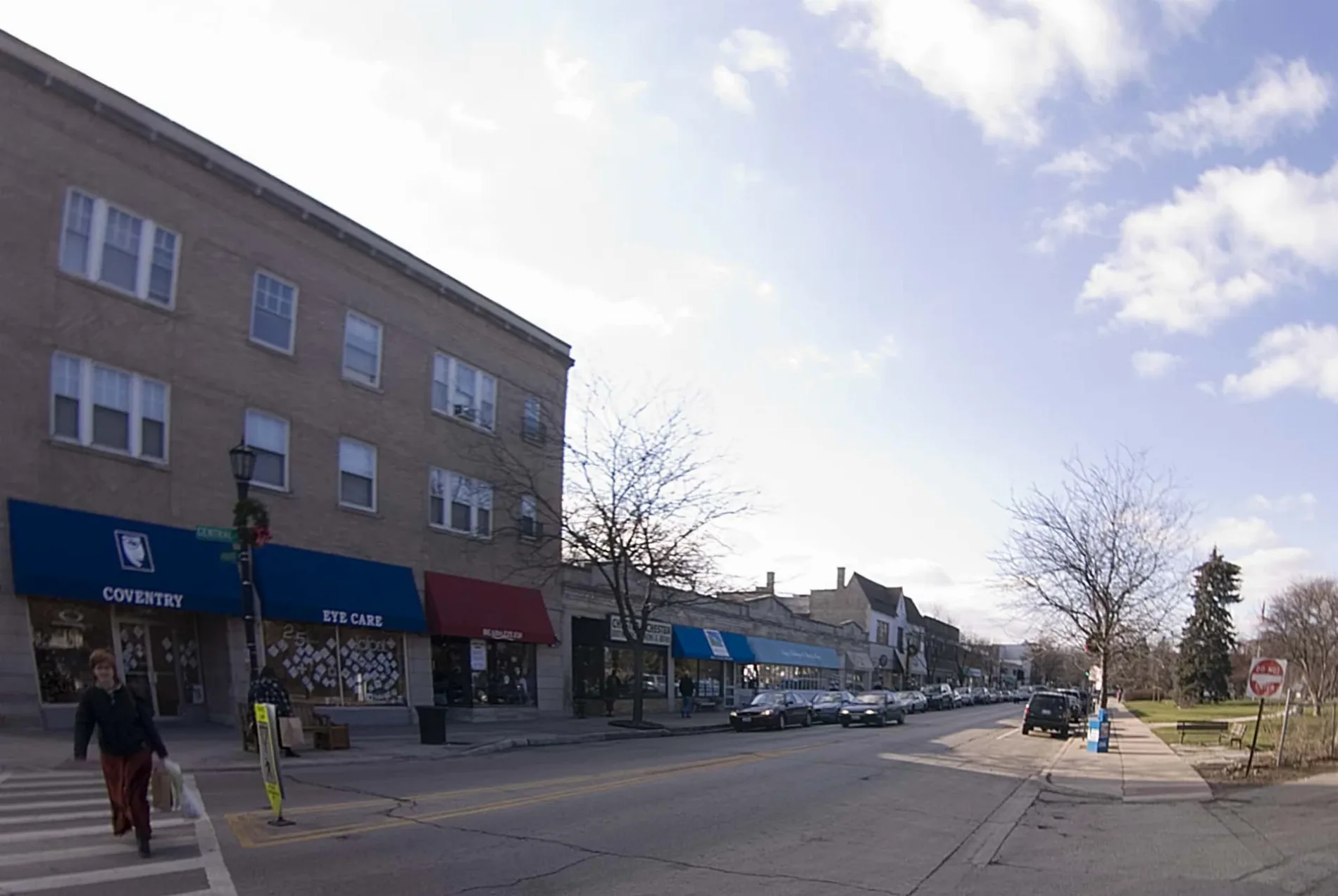
- Road Type
- residential street
Restaurants
Sewing supply stores
Convenience stores
Tattoo studios
Florists
Doctor's offices
Hair salons
Bus stops
Auto repair shops
Secondhand stores
Beauty salons
Fast food restaurants
Dentist offices
Veterinary clinics
Kitchen studios
Laundries
Liquor stores
Streets nearby
Semar Court0.1 mi
Frediani Court0.1 mi
West Central RoadMount Prospect
0.2 mi
Sivic Street0.2 mi
South Wellers Lane0.2 mi
Verde Court0.2 mi
South Michael Street0.2 mi
West Verde Drive0.3 mi
West Bonita AvenueKing James Bible Baptist Church
0.3 mi
Hatlen Court0.3 mi
Susan Drive0.3 mi
Grindel Drive0.3 mi
South Hatlen Avenue0.3 mi
South Bobby Lane0.4 mi
Crestwood Lane0.4 mi
South Beverly Lane0.4 mi
South Busse RoadCVS Pharmacy
0.4 mi
South Audrey Lane0.4 mi
North Arthur Avenue0.4 mi
Connie Lane0.4 mi
Rob Road0.4 mi
East Central RoadMarch Animal Hospital, Arlington Automotive
0.4 mi
West Robbie Lane0.5 mi
South McKinley Avenue0.5 mi
East Orchard Street0.5 mi
Audrey Court0.5 mi
South Meier Road0.5 mi
East Maple Street0.5 mi
West Lincoln Road0.5 mi
Scarsdale Court0.5 mi
East Old Barn Lane0.5 mi
South Prairie Avenue0.6 mi
South Dryden Place0.6 mi
East Crescent Drive0.6 mi
East Davis Street0.6 mi
South Leonard Lane0.6 mi
East White Oak Street0.6 mi
East Rockwell Street0.6 mi
South Arthur Avenue0.7 mi
East Fairview Street0.7 mi
South Lincoln Lane0.7 mi
Buildings nearby
Mount Prospect Public Works0.2 mi
Northwest Central Dispatch Systems0.6 mi
Dog parks nearby
Canine Commons Dog Park0.5 mi
Parks nearby
Dryden Park0.7 mi
Places of worship nearby
Southminster Presbyterian Church0.5 mi
Railways nearby
UP Harvard Subdivision0.6 mi
Residential buildings nearby
The Moorings of Arlington Heights0.6 mi
Streams nearby
Weller Creek0.4 mi
| Located in | Evanston |
|---|---|
| Country | United States |
Public transit map Arlington Heights Legend
| Railway | |
| Bus | |
| Streetcar |
Bicycle map Arlington Heights Legend
| Bike path | |
| Bike lane on roadway | |
| Cycling allowed on bus lane | |
| Bicycle street | |
| Open to cyclists | |
| Open to cyclists, good path | |
| Cycling prohibited | |
| Cobblestone |
| Long-distance bike route | (depending on scale) | |
| Long-distance bike route |
Pedestrian map Arlington Heights Legend
| Path |
| Long-distance hiking trail | (depending on scale) | |
| Long-distance hiking trail | ||
| Pedestrians prohibited |