
South Halsted Street in Homewood, Illinois
South Halsted Street in Homewood is a four-lane main road (Road number IL 1) and it runs in a north-south direction starting from 187th Street and ends in a cul-de-sac. South Halsted Street is also known as Halsted St. This street is part of the highway "1". The nearest stops are Halsted & 187th Street and Halsted & Holbrook. The bus lines 352, 360 and 890 serve this stop. South Halsted Street also exists in Riverdale and Calumet Township. Ⓦ.
- Road Type
- main road
- Lanes
- 4
- Speed Limit
- 40 mph
- Route
- north-south
Image
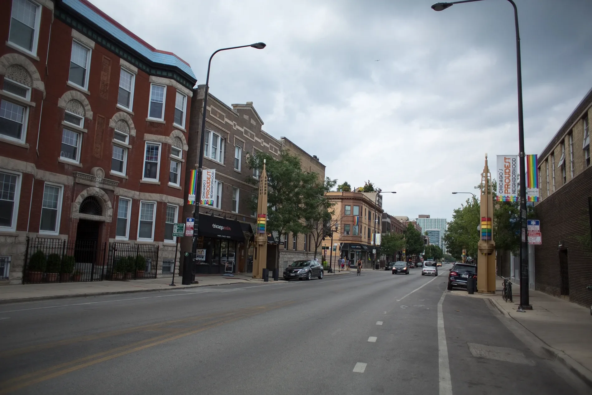
Bus stops
- bus lines 352, 360, 890
Streets nearby
Kings Road250 ft
Royal Road500 ft
Castle Road550 ft
Iowa Street0.1 mi
Coach Road0.1 mi
Queens Road0.2 mi
North Gay Court0.2 mi
Lee Court0.2 mi
Bowling Green Drive0.2 mi
Westwood Drive0.2 mi
Virginia AvenueTotal by Verizon, The UPS Store
0.2 mi
Boulder Court0.2 mi
Ohio Street0.2 mi
Terrace Drive0.3 mi
Halsted StreetHalsted & 183rd Street, Halsted & Streiff, Halsted & 187th Street
0.3 mi
Wisconsin Street0.3 mi
Morgan Street0.3 mi
Rainbow Drive0.3 mi
Delta Road0.3 mi
West Strieff Lane0.3 mi
186th Place0.3 mi
Illinois Avenue0.3 mi
Carpenter Street0.4 mi
North Strieff Lane0.4 mi
Kenneth CourtSaint Andrew Lutheran Church
0.4 mi
185th Place0.4 mi
Aberdeen Street0.4 mi
186th Street0.4 mi
Roberts Drive0.4 mi
Holly Court0.4 mi
187th Street0.5 mi
Arizona Avenue0.5 mi
Park Drive0.5 mi
Longwood Drive0.5 mi
Pleasant Drive0.6 mi
Glenwood Chicago Heights Road0.6 mi
Arquilla Drive0.6 mi
Auto parts stores nearby
O'Reilly Auto Parts250 ft
AutoZone400 ft
Banks nearby
Chase300 ft
Fast food restaurants nearby
Burger King0.4 mi
Gas stations nearby
Amstar550 ft
Parks nearby
Apollo Park0.3 mi
George Arquilla Park0.4 mi
Veteran's Memorial Park0.5 mi
Places of worship nearby
Living Springs Community Church0.2 mi
Self storages nearby
U-Haul0.5 mi
Sports centers nearby
Skyline Pool0.4 mi
Supermarkets nearby
Aldi0.1 mi
| Named after | Caleb O. Halsted |
|---|---|
| Located in | Chicago |
| Country | United States |
Public transit map Homewood Legend
| Railway | |
| Bus | |
| Streetcar |
Bicycle map Homewood Legend
| Bike path | |
| Bike lane on roadway | |
| Cycling allowed on bus lane | |
| Bicycle street | |
| Open to cyclists | |
| Open to cyclists, good path | |
| Cycling prohibited | |
| Cobblestone |
| Long-distance bike route | (depending on scale) | |
| Long-distance bike route |
Pedestrian map Homewood Legend
| Path |
| Long-distance hiking trail | (depending on scale) | |
| Long-distance hiking trail | ||
| Pedestrians prohibited |