
South Pulaski Road in Archer Heights, Chicago, Illinois
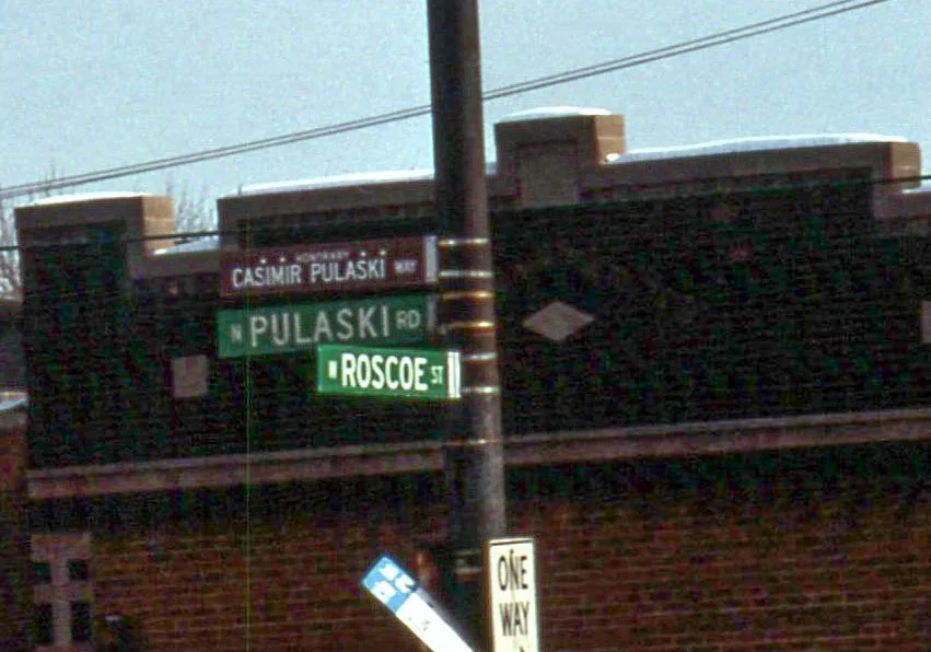
South Pulaski Road in Archer Heights in Chicago is a secondary road. It runs in a north-south direction starting from North Pulaski Road and crosses West Lexington Street, West Polk Street, West Arthington Street, West 13th Street, West 14th Street, West 15th Street, West 16th Street, West 18th Street, West 19th Street, West 21st Street and West 21st Place. It connects West Lawn, Archer Heights, Ashburn, West Elsdon, South Lawndale and North Lawndale. Nearby you can find among others 4 fast food restaurants, 2 cell phone stores, a cafe and a beauty salon. The nearest stops include Pulaski & Archer, Pulaski & 46th Street, Pulaski & 44th Street, Pulaski & 42nd Place and Pulaski & 47th Street. The bus lines 53, 53A and N53 serve this stop. South Pulaski Road also exists in Mount Greenwood. Ⓦ.
- Road Type
- secondary road
- Route
- north-south
Image
Cell phone stores
Beauty salons
Bus stops
- bus lines 53, 53A, N53
Fast food restaurants
Cafes
Ice cream shops
Streets nearby
West 47th StreetAuto parts stores nearby
Advance Auto PartsAuto repair shops nearby
Honda City ChicagoBanks nearby
Self-Help Federal Credit UnionBars nearby
The Apartment LoungeCell phone stores nearby
T-MobileCommunity centers nearby
Polish Highlanders AllianceConvenience stores nearby
ShellCurrency exchanges nearby
47th & Pulaski Currency ExchangeDepartment stores nearby
TargetDrugstores nearby
WalgreensFire stations nearby
Chicago Fire Department Engine Company 34Hardware stores nearby
Lowe'sIndustrial buildings nearby
World's Finest ChocolateLaundries nearby
The Blue Kanagaroo LaundromatParks nearby
Irma C. Ruiz ParkPlaces of worship nearby
Saint Bruno's Roman Catholic ChurchRailways nearby
Conrail LeadRetail areas nearby
Gillespie PlazaSupermarkets nearby
Aldi| Named after | Casimir Pulaski |
|---|---|
| Located in | Chicago |
| Country | United States |
| Railway | |
| Bus | |
| Streetcar |
| Bike path | |
| Bike lane on roadway | |
| Cycling allowed on bus lane | |
| Bicycle street | |
| Open to cyclists | |
| Open to cyclists, good path | |
| Cycling prohibited | |
| Cobblestone |
| Long-distance bike route | (depending on scale) | |
| Long-distance bike route |
| Path |
| Long-distance hiking trail | (depending on scale) | |
| Long-distance hiking trail | ||
| Pedestrians prohibited |