
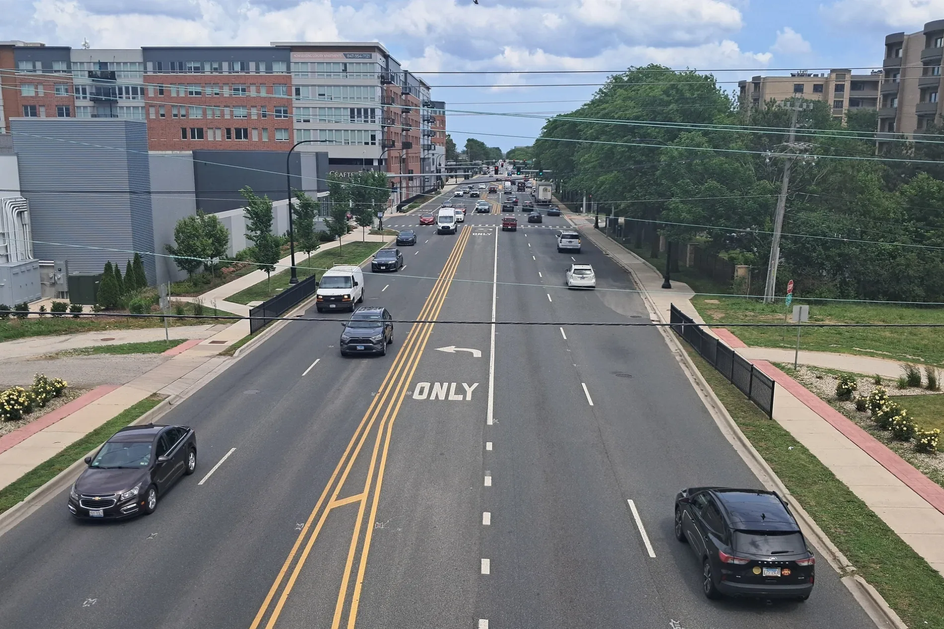
West Touhy Avenue in Edison Park, Chicago, Illinois
West Touhy Avenue in Edison Park in Chicago is a secondary road. It runs in an east-west direction and crosses North Overhill Avenue, North Ottawa Avenue, North Oriole Avenue, North Oleander Avenue, North Olcott Avenue, North Osceola Avenue, North Oketo Avenue, North Odell Avenue, North Octavia Avenue and North Oconto Avenue and ends at North Harlem Avenue, while the other end is a cul-de-sac. Nearby you can find among others a cafe, a fast food restaurant and a post office. The nearest stops are Touhy & Octavia, Touhy & Harlem, Touhy & Oriole, Touhy & Osceola and Touhy & Overhill. The bus line 290 stops here. West Touhy Avenue also exists in Rogers Park, West Ridge and Forest Glen. Ⓦ.
- Road Type
- secondary road
- Route
- east-west
Image
Bus stops
- bus lines 290
Streets nearby
West Fitch Avenue500 ft
North Octavia Avenue500 ft
West Touhy AvenueNiles Maintenance Garage, Touhy & Harlem, Touhy & Milwaukee, Touhy & Milwaukee (Farside), 5727 W Touhy Ave, 5740 W Touhy Ave, Touhy & Gross Point/Harts, Touhy & Harts/Gross Point, Touhy & Riverside, Touhy & Milwaukee (Nearside)
0.1 mi
West Chase AvenueHarlem & Chase
0.2 mi
North Nora Avenue0.2 mi
West Greenleaf AvenueHarlem & Greenleaf
0.2 mi
North Oconto Avenue0.3 mi
North Neva Avenue0.3 mi
West Jarvis Avenue0.3 mi
West Coyle Avenue0.3 mi
West Estes Avenue0.3 mi
North Osceola Avenue0.3 mi
West Lunt Avenue0.3 mi
North Olcott Avenue0.4 mi
North Harlem AvenueHarlem & Milwaukee, Harlem & Pratt, Harlem & Lunt, Harlem & Ibsen, Harlem & Greenleaf, Mary, St Anne, Harlem & Chase, Harlem & Jarvis, Mug's Pizza & Ribs, Nick's Drive-In, Ferguson, Baskin-Robbins, Harlem & Fitch, Harlem & Touhy, Harlem & Onarga/Schreiber, Harlem & Arthur, Harlem & North Shore, Harlem & Albion
0.4 mi
West Birchwood AvenueHarlem & Birchwood
0.4 mi
North Milwaukee AvenueMilwaukee & Harlem, Chicken Inn
0.4 mi
West Farwell Avenue0.4 mi
West Ibsen StreetHarlem & Ibsen
0.4 mi
North Oriole Avenue0.5 mi
North Ottawa Avenue0.5 mi
North Odell AvenueOakton & Odell
0.5 mi
North Oleander Avenue0.5 mi
West Howard Street0.5 mi
North Oketo AvenueOketo & Conrad, Oketo & Main, Oketo & Lee
0.5 mi
North Overhill Avenue0.6 mi
West Jarlath Street0.6 mi
Shops nearby
Former Byline Bank500 ft
Former Wendy's0.1 mi
Auto parts stores nearby
AutoZone0.4 mi
Auto repair shops nearby
Jiffy Lube250 ft
Midas0.3 mi
Caliber Collision0.5 mi
Fast food restaurants nearby
Dunkin'0.4 mi
Garages nearby
Niles Police Maintanence0.2 mi
Gardens nearby
Niles Community Rain Garden0.2 mi
Houses nearby
Turzak House0.3 mi
Mini golf courses nearby
Pioner Park Mini Golf0.1 mi
Parks nearby
Pioneer Park400 ft
Brooks Park0.2 mi
Places of worship nearby
Saint Juliana Church0.2 mi
Ascension Lutheran Church0.4 mi
Public buildings nearby
Chicago 41st Ward Office100 ft
Pubs nearby
Morrison Roadhouse0.3 mi
Retail areas nearby
Harlem & Touhy Plaza300 ft
Shops of Niles0.2 mi
Niles Shopping Center0.4 mi
Sports centers nearby
Brooks Park Fieldhouse0.1 mi
Variety stores nearby
Dollar Tree0.1 mi
Veterinary clinics nearby
Niels Animal Hospital0.3 mi
| Named after | Patrick L. Touhy |
|---|---|
| Located in | Illinois |
| Country | United States |
Public transit map Edison Park Legend
| Railway | |
| Bus | |
| Streetcar |
Bicycle map Edison Park Legend
| Bike path | |
| Bike lane on roadway | |
| Cycling allowed on bus lane | |
| Bicycle street | |
| Open to cyclists | |
| Open to cyclists, good path | |
| Cycling prohibited | |
| Cobblestone |
| Long-distance bike route | (depending on scale) | |
| Long-distance bike route |
Pedestrian map Edison Park Legend
| Path |
| Long-distance hiking trail | (depending on scale) | |
| Long-distance hiking trail | ||
| Pedestrians prohibited |