
Calumet River in Hegewisch, Chicago, Illinois
Calumet River in Hegewisch in Chicago is a river. Calumet River also exists in South Deering. Ⓦ.
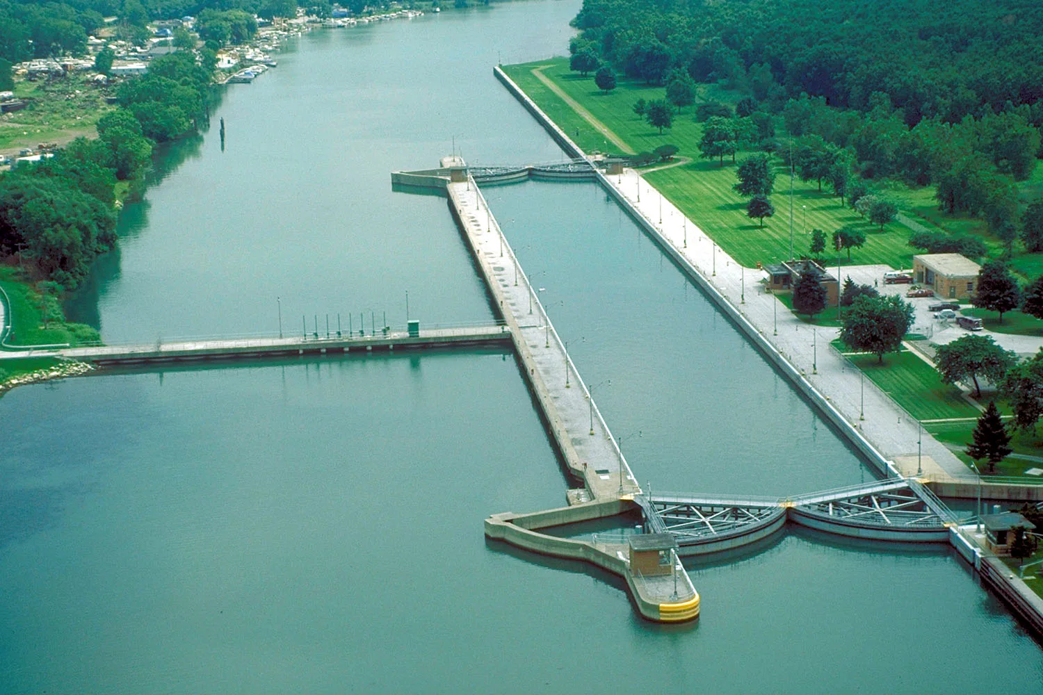
- Waterway Type
- canal
Bus stops
Streets nearby
East 136th StreetTorrence & 136th Street
0.4 mi
South Calhoun Avenue0.4 mi
East 134th StreetAvenue O & 134th Street, Ave O & 134th St
0.5 mi
South Hoxie Avenue0.5 mi
Ford Access Road0.5 mi
South Brainard AvenueHegewisch, Brainard & Brandon, South Shore Inn, Brainard & Baltimore, Hegewisch South Shore Line Station, South Shore Line
0.6 mi
South Doty Avenue East0.6 mi
South Jeffery Avenue0.7 mi
South Saginaw Avenue0.7 mi
South Torrence Avenue0.7 mi
South Marquette Avenue0.7 mi
South Manistee Avenue0.7 mi
East 137th StreetSaint Mary's School
0.7 mi
South Bishop Ford 137th Street Entrance Ramp0.7 mi
East 129th Street0.8 mi
South Muskegon AvenueAvalon Trails
0.8 mi
Bishop Ford Freeway0.8 mi
South Stony Island AvenueStony Island & 95th Street
0.8 mi
Beaubien Woods Access RoadPrairie Boat
0.8 mi
East 139th Street0.9 mi
South Doty Avenue West0.9 mi
South Croissant Drive0.9 mi
140th StreetTorrence & 140th Street
0.9 mi
141st Street1.0 mi
South Bensley Avenue1.0 mi
East 130th Street130th Street & Carondolet, 130th Street & Baltimore, Commercial Ave & 130th St
1.0 mi
South Butler Drive1.1 mi
Abandoned railways nearby
South Shore Line0.5 mi
Buildings nearby
Thomas J. O'Brien Lock and Dam0.2 mi
Community centers nearby
Burnham Community Center1.0 mi
AMVETS Post 00431.0 mi
Fast food restaurants nearby
Harbour Point Shrimp House0.9 mi
Industrial areas nearby
Ford Chicago Assembly Plant0.6 mi
Marinas nearby
Sunset Bay Marina0.5 mi
Cal-Side Marina0.8 mi
Marine Services Corporation1.1 mi
Nature reserves nearby
Hegewisch Marsh0.2 mi
Office buildings nearby
UAW Local 5510.5 mi
Parks nearby
Hoxie Tot Lot0.8 mi
Park 600 "Deadstick Pond Natural Area"0.9 mi
Picnic areas nearby
Beaubien Woods Picnic Shelter Grove 10.8 mi
Places of worship nearby
Lebanon Lutheran Church0.7 mi
Railways nearby
Chicago District0.7 mi
Kensington Branch0.9 mi
NICTD South Shore Line1.0 mi
Restaurants nearby
Chicago Pita Kitchen0.8 mi
Waters nearby
Thomas J. O'Brien Lock0.2 mi
Flatfoot Lake0.8 mi
Wetlands nearby
O'Brien Marsh0.3 mi
| Length | 12 |
|---|---|
| Elevation | 175 m |
| Located in | Illinois |
| Country | United States |
| Source | Little Calumet River, Grand Calumet River |
| Mouth | St. Lawrence River, Lake Michigan |
| Native name | Calumet River |
Public transit map Hegewisch Legend
| Railway | |
| Bus | |
| Streetcar |
Bicycle map Hegewisch Legend
| Bike path | |
| Bike lane on roadway | |
| Cycling allowed on bus lane | |
| Bicycle street | |
| Open to cyclists | |
| Open to cyclists, good path | |
| Cycling prohibited | |
| Cobblestone |
| Long-distance bike route | (depending on scale) | |
| Long-distance bike route |
Pedestrian map Hegewisch Legend
| Path |
| Long-distance hiking trail | (depending on scale) | |
| Long-distance hiking trail | ||
| Pedestrians prohibited |