
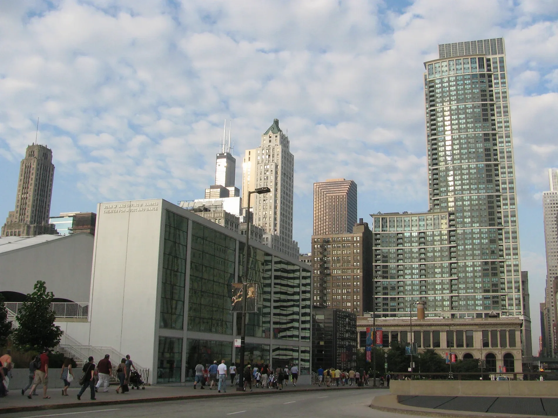
West Randolph Street in Chicago Loop
West Randolph Street in Loop in Chicago is a three-lane, asphalted, lit secondary road. The street has bike paths. It runs in an east-west direction starting from West Lake Street and crosses North Ogden Avenue, West Washington Boulevard, North Ada Street, North Elizabeth Street, North Willard Court, North Racine Avenue, North May Street, North Aberdeen Street, North Carpenter Street, North Morgan Street and North Sangamon Street. It connects Near West Side, Loop and Chicago. Nearby you can find among others 3 cafes, 2 restaurants, a fast food restaurant and a clothing store. The nearest stop is Franklin & Randolph (about 150 m away). West Randolph Street also exists in East Garfield Park. Ⓦ.
- Road Type
- secondary road
- Bicycle
- use side path
- Lanes
- 3
- Route
- east-west
Image
Clothing stores
Cafes
Bars
Streets nearby
North Lower Wacker Service DriveBeatnik On The River, Good Funk, 7 Am, Bazaar Meat, One North Kitchen, Beatrix Market, The UPS Store, Espresso and Milk, Eaves
100 ft
North Upper Wacker Drive150 ft
North Lower Wacker Drive250 ft
West Lake StreetDunkin', Potbelly, Subway, Goodwin's, 7-Eleven, Blackwood BBQ, Biggby Coffee, Chipotle, Franklin, Atlas Stationers, Boar's Head, Big Shoulders Coffee, Tower 18 Jct, Dog Haus, Ajida, Clark/Lake, Circle K, LaSalle, Midtown Kitchen & Bar, McDonald's
500 ft
RiverwalkCP Washington, Ogilvie / Union (West Loop), Fifth Third Bank, The Junction, Nuts on Clark, Jamba, Dunkin', Peet's Coffee, Porter Kitchen & Deck, The Boeing Store, Just Salads
550 ft
West Upper Wacker DriveWacker (Upper) & Lake, Brews & Bites, Wacker (Upper) & State
0.1 mi
West Lower Wacker Drive0.1 mi
North Franklin StreetFranklin & Randolph, Solette, Cafe 333, Franklin & Lake/West Wacker, Franklin & Madison, PNC Bank, Taza, Naansense, Crave
0.1 mi
West Lower Wacker Service DriveWacker (Upper) & Lake, Old Second National Bank, Chelsea Room, Goddess And The Baker, Tabo Sushi, Dunkin', Flight Club, Lakeside Bank, Chase
0.1 mi
Canal Street BikewayCanal St & Harrison St, Canal St & Taylor St, Canal & Polk, Canal & Taylor, Whole Foods Market, Visionworks, DSW, Panera Bread, PetSmart, Starbucks, Marshalls, AT&T
0.1 mi
Chicago RiverwalkWndella Tours - Riverwalk, O'Brien's, Weather Station, Floating Tiki Bar, Tiki Pontoons, Allium, Urban Kayaks, Taco Rio, Tiny Tapp, ChiBoys, Chiya Chai, Colores Mexicanos, Feed Your Head, The Radiance of Being, City Winery at the Chicago Riverwalk, Chicago's First Lady 2, Chicago's First Lady 1, Mercury Tours 1, Chicago's First Lady 3, Mercury Tours 2, Mercury Chicago's Skyline Cruiseline, The Northman Beer & Cider Garden, You Are on Potawatomi Land, Chicago Brewhouse, Sweet Home Gelato, Chicago Cycle Boat, Anita Dee II, McCormick Bridgehouse & Chicago River Museum, Beat Kitchen, Black Tiberinus
0.1 mi
Randolph Street BikewayMuseum of Broadcast Communications
0.1 mi
West Wolf Point PlazaBlue Bottle Coffee
0.2 mi
West Wolf Point Service Drive0.2 mi
Lower North Orleans Drive0.3 mi
Railway nearby
Lake Street Tower0.2 mi
Apartment buildings nearby
Randolph Place Lofts0.1 mi
Riverbend0.2 mi
Wolf Point East0.2 mi
Wolf Point West0.2 mi
Left Bank at K Station0.3 mi
Fulton House0.3 mi
Artworks nearby
Constellation0.2 mi
Office buildings nearby
155 North Wacker150 ft
150 N Riverside400 ft
110 North Wacker450 ft
191 North Wacker500 ft
Boeing World Headquarters0.1 mi
333 Wacker Drive0.2 mi
River Point0.2 mi
Salesforce Tower0.2 mi
River North Point0.3 mi
Outdoor seatings nearby
Porter Kitchen Deck450 ft
Parking lots nearby
Franklin-Lake Self Park0.1 mi
Metra Market Parking0.2 mi
Parks nearby
Park at 150 N Riverside350 ft
The Boardwalk - Confluence0.1 mi
Riverpoint0.2 mi
Wolf Point Riverwalk0.2 mi
Restaurants nearby
Small Cheval - Riverside400 ft
Rivers nearby
North Branch Chicago River0.3 mi
Service buildings nearby
Randolph Street Bridgehouse150 ft
Lake Street Bridgehouse0.1 mi
Franklin Street Bridgehouse0.2 mi
Chicago & Northwestern Railway Bridgehouse0.3 mi
Subway lines nearby
Milwaukee-Dearborn Subway0.2 mi
Waters nearby
The Confluence0.1 mi
Other nearby
Michigan Avenue - Willis Tower / Union Station0.1 mi
Michigan Avenue - Ogilvie/Union0.1 mi
| Named after | Randolph County |
|---|---|
| Located in | Chicago |
| Country | United States |
Public transit map Loop Legend
| Railway | |
| Bus | |
| Streetcar |
Bicycle map Loop Legend
| Bike path | |
| Bike lane on roadway | |
| Cycling allowed on bus lane | |
| Bicycle street | |
| Open to cyclists | |
| Open to cyclists, good path | |
| Cycling prohibited | |
| Cobblestone |
| Long-distance bike route | (depending on scale) | |
| Long-distance bike route |
Pedestrian map Loop Legend
| Path |
| Long-distance hiking trail | (depending on scale) | |
| Long-distance hiking trail | ||
| Pedestrians prohibited |