
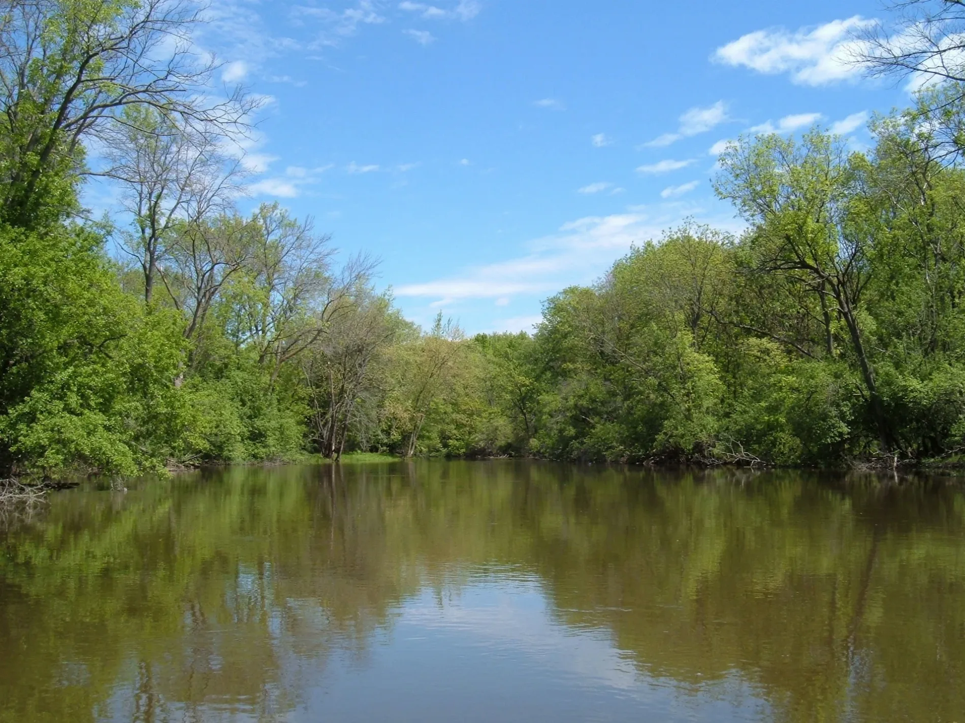
Des Plaines River in O'Hare, Chicago, Illinois
Des Plaines River in O'Hare in Chicago is a river. Ⓦ.
- Waterway Type
- river
Bus stops
Vending machines
Streets nearby
Des Plaines River Trail Green Unpaved Spur (Central)550 ft
Des Plaines River Trail Yellow UnpavedSchiller Woods-South Trail Access
0.2 mi
Cumberland Flyover0.2 mi
Bryn Mawr AvenueMorton's The Steakhouse
0.2 mi
River Road Plaza Access Road0.3 mi
Catherine Chevalier Woods Access Road0.3 mi
Des Plaines River Trail Tan Unpaved SpurCatherine Chevalier Woods Trail Access
0.3 mi
Pickup Lane0.3 mi
Kennedy ExpresswayRosemont, Rosemont Blue Line Station, Ventra, O'Hare West Toll Plaza, Dunkin', CTA Rosemont Yard
0.3 mi
Taxi LaneRosemont Blue Line Station
0.3 mi
Jane Addams Memorial TollwayRiver Road Toll Plaza
0.3 mi
Wide Load OnlyRiver Road Toll Plaza
0.4 mi
Des Plaines River Trail Purple Unpaved Spur (South)Catherine Chevalier Woods Trail Access
0.4 mi
North River RoadRiver Road & Devon, River Road & Glenlake, 6025 N River Rd, River Road & Balmoral, River Road & Bryn Mawr, 6250 N River Rd
0.4 mi
Des Plaines River Trail Red Unpaved Spur (South)0.4 mi
Des Plaines River Trail Yellow PavedRobinson Woods-South Trail Access
0.5 mi
William Street0.5 mi
Balmoral AvenueTommy Hilfiger, Gap Factory, Armani Exchange, Calvin Klein, Rosemont, Fogo de Chão, Balmoral & Fashion Outlets Way, Balmoral & Park Place, Balmoral & Pearl (Metra), Saks Off 5th, Vitamin World, Samsonite, Solstice Sunglasses, Nordstrom Rack, Sayki, Perry Ellis, Crepe Cafe, Midi, Kipling1, Moose Knuckle
0.5 mi
West Gregory StreetBryn Mawr & Gregory
0.5 mi
North East River RoadEast River & Evelyn, East River & Foster, East River & Berwyn, East River & Argyle, East River & Carmen, East River & Ainslie, Robinson Family Burial Ground
0.6 mi
West Catalpa Avenue0.6 mi
North Oakview Avenue0.6 mi
Des Plaines River Trail Orange Unpaved Spur (South)0.6 mi
West Evelyn Lane0.7 mi
Railway nearby
CTA Rosemont Shop0.4 mi
Apartment buildings nearby
Building 210.6 mi
Buildings nearby
Parking Attendant Booth0.6 mi
Commercial areas nearby
O'Hare Plaza0.5 mi
Conference centers nearby
Donald E. Stephens Convention Center0.3 mi
Covered areas nearby
River Road Plaza 190.2 mi
Rosemont CTA Station0.3 mi
Fire stations nearby
Rosemont Fire Department Station 10.4 mi
Hotels nearby
Hilton Rosemont/Chicago O'Hare0.4 mi
DoubleTree by Hilton Hotel Chicago O'Hare Airport - Rosemont0.4 mi
Embassy Suites by Hilton Chicago O'Hare Rosemont0.4 mi
Office buildings nearby
Triangle Plaza West0.5 mi
Triangle Plaza East0.6 mi
Parking lots nearby
East Parking Garage0.1 mi
Picnic areas nearby
Catherine Chevalier Woods Grove #30.2 mi
Catherine Chevalier Woods Grove #20.3 mi
Catherine Chevalier Woods Grove #10.4 mi
Places of worship nearby
All Saints Cathedral0.5 mi
Preschools nearby
Bright Horizons0.4 mi
Residential areas nearby
Bryn Mawr Condominiums0.5 mi
Subway lines nearby
O'Hare Branch0.3 mi
Trail Track0.3 mi
Northbound Receiving Track0.3 mi
Southbound Departure Track0.4 mi
Transportation buildings nearby
Rosemont Yard Tower0.4 mi
| Length | 241 |
|---|---|
| Elevation | 152 m |
| Located in | Illinois, Wisconsin |
| Country | United States |
| Mouth | Illinois River |
| Tributary | DuPage River, Chicago Sanitary and Ship Canal, Buffalo Creek, Salt Creek |
Public transit map O'Hare Legend
| Railway | |
| Bus | |
| Streetcar |
Bicycle map O'Hare Legend
| Bike path | |
| Bike lane on roadway | |
| Cycling allowed on bus lane | |
| Bicycle street | |
| Open to cyclists | |
| Open to cyclists, good path | |
| Cycling prohibited | |
| Cobblestone |
| Long-distance bike route | (depending on scale) | |
| Long-distance bike route |
Pedestrian map O'Hare Legend
| Path |
| Long-distance hiking trail | (depending on scale) | |
| Long-distance hiking trail | ||
| Pedestrians prohibited |