
East 95th Street in Roseland, Chicago, Illinois
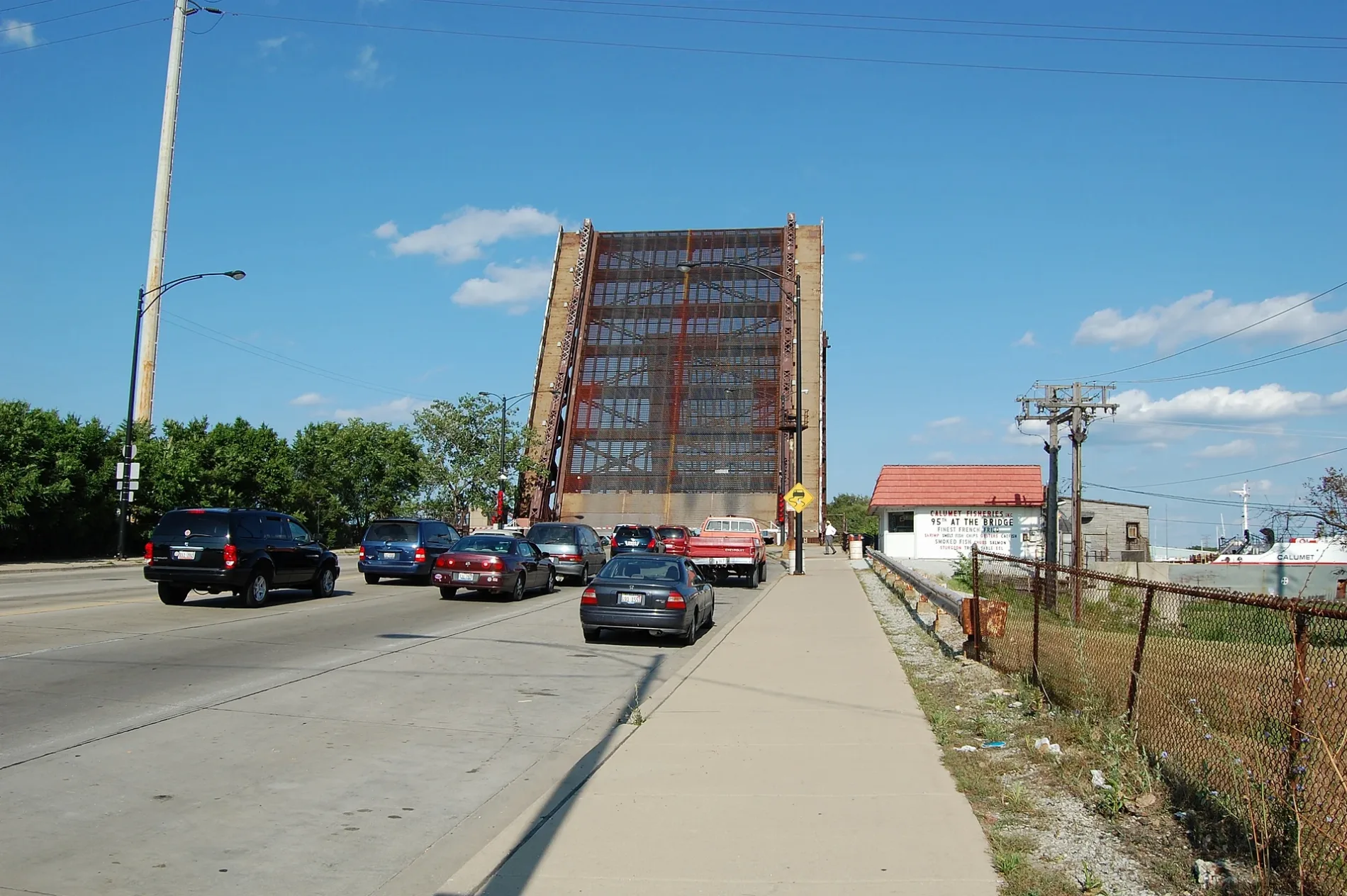
East 95th Street in Roseland in Chicago is a main road (Road number US 12;US 20). The street has sidewalks. The road consists of two separate carriageways. It passes through a tunnel. It runs in a East direction and continues as West 95th Street and South Crilly Drive. It crosses South Langley Avenue, South Champlain Avenue, CSU Drive, South Rhodes Avenue, South Eberhart Avenue, South Vernon Avenue, South Doctor Martin Luther King Junior Drive, South Calumet Avenue, South Forest Avenue, South Prairie Avenue, South Indiana Avenue and South Michigan Avenue and connects Roseland, South Deering, Burnside, Pullman, East Side and South Chicago. This street is part of the highways 12 and 20 as well as the Bicycle route "Cottage Grove Avenue". Nearby you can find among others a vending machine, a convenience store and a bike rental. The nearest stops include 95th Street (Chicago State University), 95th Street & Eberhart, 95th Street & Michigan, 95th Street & Cottage Grove (Metra) and 95th Street & King Drive. The bus lines 3, 4, 34, 95, 100, 103, 106, 111, 115, 119, 353, N4, N5, N34 and X4 as well as the train route ME serve this stop. Ⓦ.
- Road Type
- main road
- Route
- east-west
Image
Convenience stores
Bus stops
- bus lines 3, 4, 34, 95, 100, 103, 106, 111, 115, 119, 353, N4, N5, N34, X4
Stops
- bus lines 3, 4, 34, 95, 100, 103, 106, 111, 115, 119, 353, N4, N5, N34, X4
- train routes ME
Platforms
- bus lines 3, 4, 34, 95, 100, 103, 106, 111, 115, 119, 353, N4, N5, N34, X4
- train routes ME
Vending machines
Bike rentals
Streets nearby
South Cottage Grove AvenueBuildings nearby
Metra Burnside SubstationConvenience stores nearby
Mobil MartFire stations nearby
Chicago Fire Department Engine Company 82Gas stations nearby
MobilLibraries nearby
Gwendolyn Brooks LibraryLiquor stores nearby
Foremost LiquorsMotels nearby
Admiral MotelParks nearby
Park 587Places of worship nearby
Faith Temple House of God by ChristPublic buildings nearby
Social Security AdministrationRailways nearby
University Park Sub DistrictSchool buildings nearby
Chatham Academy High SchoolSocial facilities nearby
Burnside Community Services CenterSports centers nearby
Jacoby Dickens Athletic CenterUniversity buildings nearby
Robinson University Center| Located in | Illinois |
|---|---|
| Country | United States |
| Railway | |
| Bus | |
| Streetcar |
| Bike path | |
| Bike lane on roadway | |
| Cycling allowed on bus lane | |
| Bicycle street | |
| Open to cyclists | |
| Open to cyclists, good path | |
| Cycling prohibited | |
| Cobblestone |
| Long-distance bike route | (depending on scale) | |
| Long-distance bike route |
| Path |
| Long-distance hiking trail | (depending on scale) | |
| Long-distance hiking trail | ||
| Pedestrians prohibited |