
South Pulaski Road in West Lawn, Chicago, Illinois
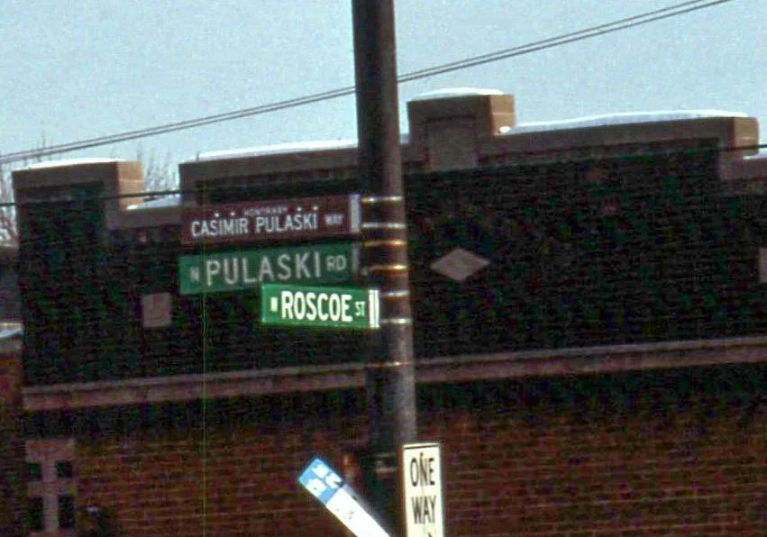
South Pulaski Road in West Lawn in Chicago is a secondary road. It runs in a north-south direction starting from North Pulaski Road and crosses West Lexington Street, West Polk Street, West Arthington Street, West 13th Street, West 14th Street, West 15th Street, West 16th Street, West 18th Street, West 19th Street, West 21st Street and West 21st Place. It connects West Lawn, Archer Heights, Ashburn, West Elsdon, South Lawndale and North Lawndale. Nearby you can find among others 3 cell phone stores, 3 restaurants, 2 bakeries and a fast food restaurant. The nearest stops include Pulaski & 62nd Street, Pulaski & 63rd Street, Pulaski & 66th Street, Pulaski & 71st Street and Pulaski & 75th Place. The bus lines 53, 53A, 67 and 390 serve this stop. South Pulaski Road also exists in Mount Greenwood. Ⓦ.
- Road Type
- secondary road
- Route
- north-south
Image
Restaurants
Fast food restaurants
Pharmacies
Bus stops
- bus lines 53, 53A, 67, 390
Convenience stores
Bike rentals
Cell phone stores
Bakeries
Dentist offices
- Avila Dental (opening hours: Sun closed, Mo-Fr 9–17; Sat 9–14) at South Pulaski Road 6144 (60629). Avila Dental, based in Chicago, IL, proudly serves Tazewell County, Oak Lawn, Cicero, Burbank, Bedford Park & Hometown. We specialize in general & cosmetic dentistry, offering services including bonding, bridges, dental exams, cleanings, implants & more..
Streets nearby
South Springfield AvenueAuto parts stores nearby
O'Reilly Auto PartsAuto repair shops nearby
Jiffy LubeBowling alleys nearby
Lawn LanesDrugstores nearby
WalgreensFast food restaurants nearby
Dunkin'Gas stations nearby
BPIndustrial buildings nearby
Crosfield Cataylsts Co BuildingMilitary areas nearby
MotorpoolOffice buildings nearby
US Army Reserve CenterPlaces of worship nearby
Trinity Baptist Church of ChicagoPost offices nearby
Southwest Carrier AnnexPublic buildings nearby
National Archives & Records AdministrationRailway areas nearby
East Receiving YardRetail areas nearby
Huck Finn PlazaSocial facilities nearby
ICH-1Technical colleges nearby
Building 600| Named after | Casimir Pulaski |
|---|---|
| Located in | Chicago |
| Country | United States |
| Railway | |
| Bus | |
| Streetcar |
| Bike path | |
| Bike lane on roadway | |
| Cycling allowed on bus lane | |
| Bicycle street | |
| Open to cyclists | |
| Open to cyclists, good path | |
| Cycling prohibited | |
| Cobblestone |
| Long-distance bike route | (depending on scale) | |
| Long-distance bike route |
| Path |
| Long-distance hiking trail | (depending on scale) | |
| Long-distance hiking trail | ||
| Pedestrians prohibited |