
West 122nd Place in West Pullman, Chicago, Illinois
West 122nd Place in West Pullman in Chicago is a two-lane, asphalted residential street. It runs as a one-way street in an east-west direction starting from South Justine Street and ends in a cul-de-sac.
- Road Type
- residential street
- Lanes
- 2
- Route
- east-west
Image
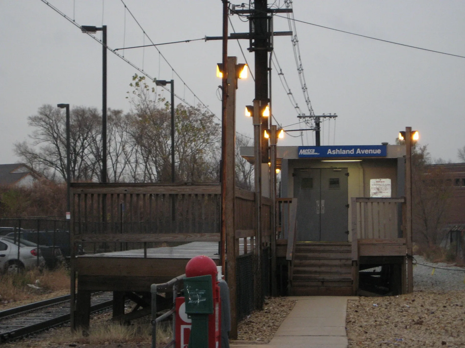
Bus stops
Streets nearby
West Asher Street350 ft
West 122nd Street450 ft
South Marshfield Avenue0.1 mi
South Laflin Street0.2 mi
South Justine Street0.2 mi
South Ashland AvenueAshland Avenue, Metra
0.2 mi
West 121st Street0.2 mi
South Loomis Street0.2 mi
South Bishop Street0.3 mi
South Ada Street0.3 mi
West 120th StreetZion Missionary Baptist Church, House of Prayer Temple Church of God in Christ
0.3 mi
Justine Street0.3 mi
West 125th Street0.4 mi
Paulina Street0.4 mi
South Throop Street0.4 mi
125th Street0.4 mi
Ada Street0.4 mi
South Elizabeth StreetRacine Avenue, Metra
0.4 mi
Elizabeth Street0.4 mi
Laflin Street0.5 mi
Bishop StreetCalumet Park, U-Haul
0.5 mi
South Racine AvenueRacine Avenue, Racine Ave & 115th St
0.5 mi
Throop StreetCalumet Park Police Department, Throop & 124th Street, Throop & 127th Street, Throop & 126th Street, Throop & 125th Street
0.5 mi
Loomis Street0.5 mi
126th Street0.5 mi
Racine Avenue0.5 mi
Buildings nearby
Metra Laflin Street Substation0.1 mi
Auto repair shops nearby
Calumet Auto Repair Foreign & Domestic, Inc.0.6 mi
Wentworth Tire Service0.6 mi
Churches nearby
Christ Universal Temple Annex0.5 mi
Community centers nearby
Calumet Township Community Center0.5 mi
Convenience stores nearby
GoLo0.6 mi
Mobil Mart0.6 mi
Citgo0.6 mi
Fast food restaurants nearby
Dillingers Drive-In0.6 mi
Dunkin'0.6 mi
Fire stations nearby
Calumet Park Fire Department0.3 mi
Gas stations nearby
Mobil0.6 mi
Hardware stores nearby
Calumet Park Ace Hardware0.6 mi
Industrial buildings nearby
Calumet Park Public Works0.1 mi
Libraries nearby
Calumet Park Public Library0.6 mi
Places of worship nearby
Seven Holy Founders Church0.4 mi
Christ Universal Temple0.4 mi
Railways nearby
Blue Island Sub District0.3 mi
Sports centers nearby
Calumet Park Recreation Center0.4 mi
Town halls nearby
Calumet Park Village Hall0.5 mi
Train stations nearby
Ashland Metra Station0.1 mi
Racine Metra Station0.5 mi
Variety stores nearby
Family Dollar0.5 mi
Public transit map West Pullman Legend
| Railway | |
| Bus | |
| Streetcar |
Bicycle map West Pullman Legend
| Bike path | |
| Bike lane on roadway | |
| Cycling allowed on bus lane | |
| Bicycle street | |
| Open to cyclists | |
| Open to cyclists, good path | |
| Cycling prohibited | |
| Cobblestone |
| Long-distance bike route | (depending on scale) | |
| Long-distance bike route |
Pedestrian map West Pullman Legend
| Path |
| Long-distance hiking trail | (depending on scale) | |
| Long-distance hiking trail | ||
| Pedestrians prohibited |