
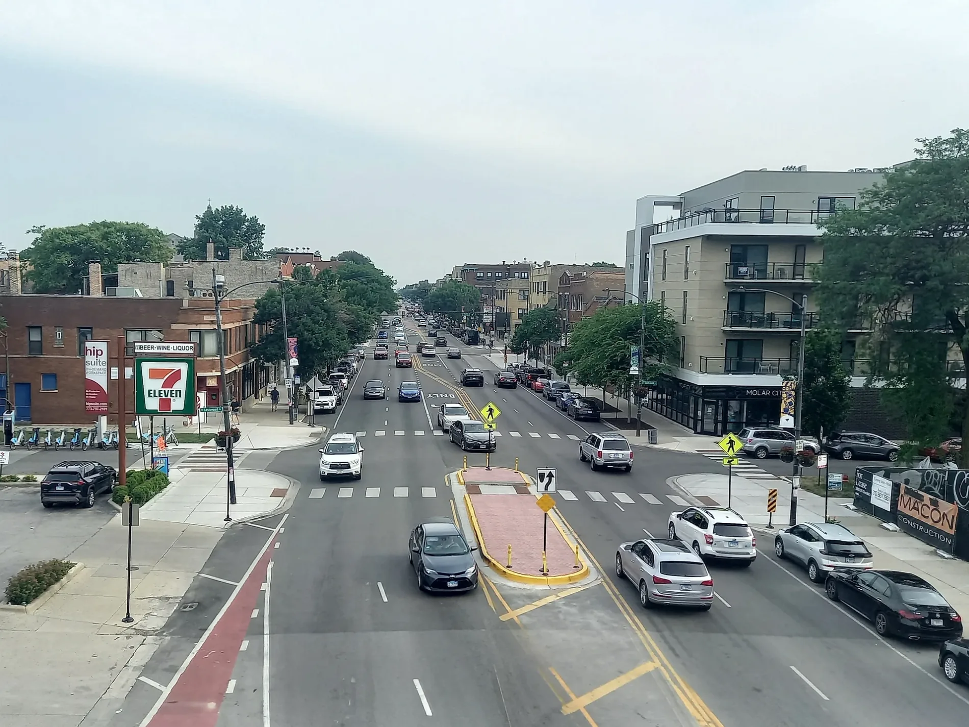
South Western Avenue in Ashburn, Chicago, Illinois
South Western Avenue in Ashburn in Chicago is a five-lane secondary road. It runs in a north-south direction and crosses West 32nd Place, West Bross Avenue, West 33rd Street, West 34th Street, South Western Boulevard, North Western Avenue, West Monroe Street, West Wilcox Street, West Van Buren Street, West Congress Parkway, West Harrison Street and West Flournoy Street. It connects Lower West Side, Near West Side, Ashburn, Chicago Lawn, McKinley Park and Chicago. South Western Avenue is also known as 2400 W. Nearby you can find among others 2 fast food restaurants and a picnic area. The nearest stops are Western & 87th Street, Western & 77th Street, Western & 79th Street, Western & 83rd Street and Western & 76th Street. The bus lines 49, 75, 79, 95, 349, N49, N79 and X49 serve this stop. South Western Avenue also exists in Beverly and Morgan Park. Ⓦ.
- Road Type
- secondary road
- Lanes
- 5
- Route
- north-south
Bus stops
- bus lines 49, 75, 79, 95, 349, N49, N79, X49
Fast food restaurants
Streets nearby
349Bleachers nearby
St Rita High SchoolBuildings nearby
Machine ShopCar dealerships nearby
Car Credit 7600Clinics nearby
DaVita DialysisCovered areas nearby
79th Street & Western Bus TerminalDrugstores nearby
CVS PharmacyFast food restaurants nearby
Taco BellGas stations nearby
MarathonIndustrial areas nearby
Landers YardIndustrial buildings nearby
Whole Photo SuppliesParks nearby
Dawes ParkPlaces of worship nearby
First Church of Love and FaithRailways nearby
Blue Island SubdivisionSelf storages nearby
Metro Self StorageSocial facilities nearby
BRIA of Forest EdgeSports fields nearby
Practice FieldVariety stores nearby
Dollar Tree| Located in | Park Forest, Chicago |
|---|---|
| Country | United States |
| Railway | |
| Bus | |
| Streetcar |
| Bike path | |
| Bike lane on roadway | |
| Cycling allowed on bus lane | |
| Bicycle street | |
| Open to cyclists | |
| Open to cyclists, good path | |
| Cycling prohibited | |
| Cobblestone |
| Long-distance bike route | (depending on scale) | |
| Long-distance bike route |
| Path |
| Long-distance hiking trail | (depending on scale) | |
| Long-distance hiking trail | ||
| Pedestrians prohibited |