
East 31st Drive in Douglas, Chicago
East 31st Drive in Douglas in Chicago is a four-lane secondary road. The street has bike paths (bike lane). It runs in an east-west direction starting from East 31st Street and crosses South Moe Drive and South Fort Dearborn Drive and ends at East Eriksen Drive. East 31st Drive is also known as West 31st Street. This street is part of the Bicycle route "Loomis Street - Lakefront". Nearby there is a bike rental. The nearest stop is 31st Street Beach (about 50 m away).
- Road Type
- secondary road
- Lanes
- 4
- Route
- east-west
Image
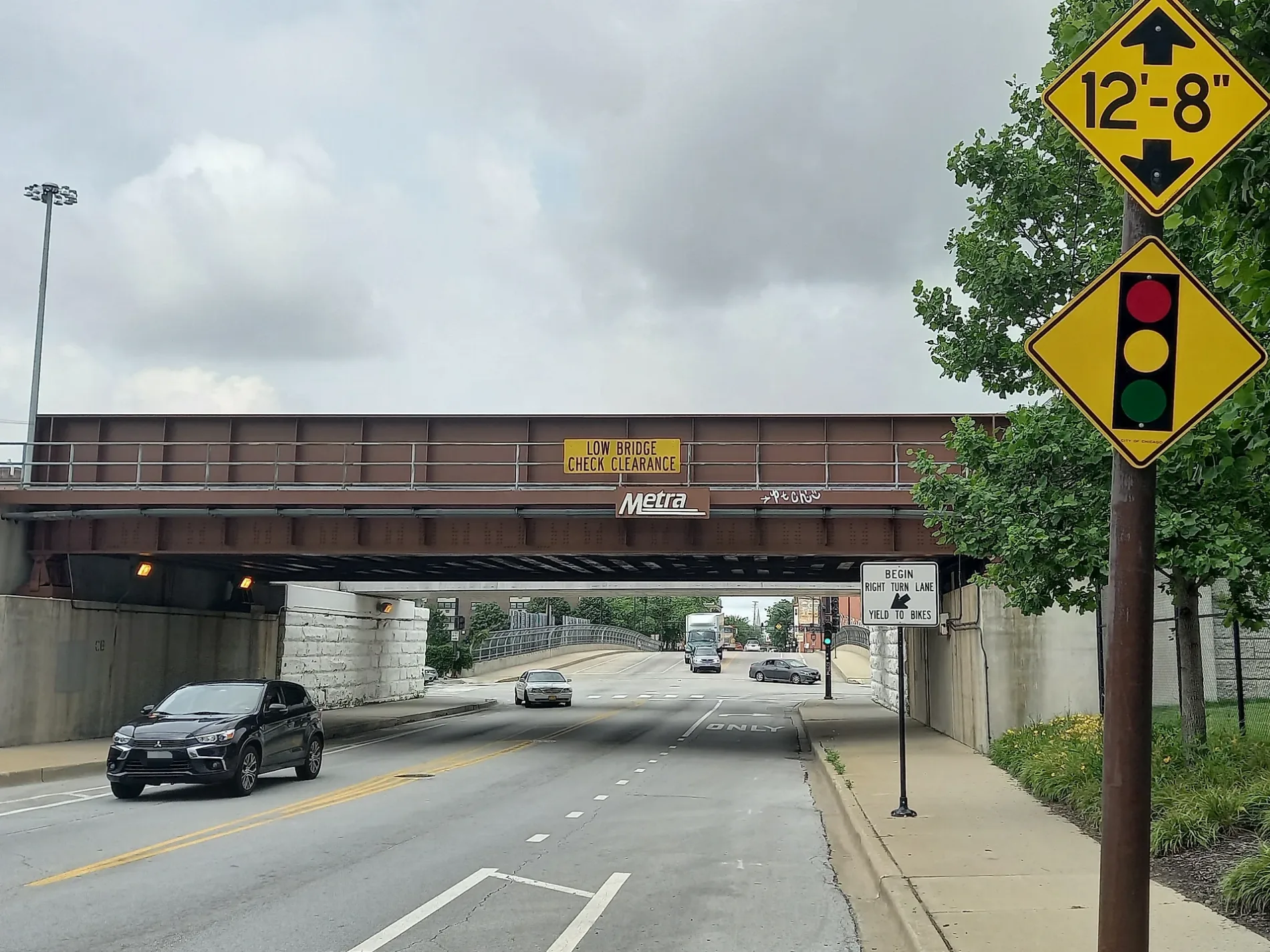
Bike rentals
Streets nearby
East Eriksen Drive300 ft
31st Drive Access Path350 ft
Dock A550 ft
Dock B550 ft
Dock C0.1 mi
Dock D0.1 mi
South Fort Dearborn Drive31st Street Beach
0.1 mi
Dock E0.2 mi
South Lake Park Avenue0.2 mi
Dock F0.2 mi
Dock G0.2 mi
East 32nd Street0.2 mi
Dock H0.2 mi
South Ellis Avenue0.2 mi
East 31st StreetPaul Laurence Dunbar Monument, 31st Street & Giles, 31st Street & Rhodes, 31st Street & Michigan, Bronzeville Animal Clinic, 31st Street & King Drive
0.3 mi
East 32nd Place0.3 mi
Dock I0.3 mi
South Cottage Grove AvenueCottage Grove & Woodland Park (3423 S)
0.3 mi
East 30th Street0.3 mi
East Groveland Park0.4 mi
East 31st Place0.4 mi
South Eberhart Avenue0.4 mi
South Rhodes AvenueRhodes Ave & 32nd St, Rhodes & 35th Street, Rhodes & 33rd Place
0.4 mi
East 33rd StreetState St & 33rd St, Global Grounds Cafe, Douglas, Calumet Ave & 33rd St
0.4 mi
East Woodland Park0.4 mi
South DuSable Lake Shore Drive0.5 mi
East 33rd Place33rd Place & Rhodes, 33rd Place & Cottage Grove, King Drive & 33rd Place
0.5 mi
35th Street Access Path0.5 mi
Lakefront TrailCaracol
0.5 mi
35th St Pedestrian Bridge0.5 mi
East 35th Street35th Street & State (Green Line), 35th Street & Michigan, 35th Street & King Drive, 35th Street & Giles, Chase, AT&T, Siri Indian Groceries, BP Shop, Boost Mobile, Best Southside Gyro, 35th Street & Indiana, Harold's Chicken Shack, 35th Street & Cottage Grove, Jamaican Jerk King, Lake Meadows Shopping Center, Baskin-Robbins, Wingstop, Dunkin', Threading Zone, Western Union, Subway, 35th Street & Rhodes, Self-Help Federal Credit Union
0.5 mi
Buildings nearby
Metra 31st Street Substation0.2 mi
Beaches nearby
Margaret Burroughs Beach0.1 mi
Boathouses nearby
31st Street Harbor Building0.2 mi
Gardens nearby
Lincoln Garden0.3 mi
Gatehouses nearby
Groveland Park Gatehouse0.4 mi
Hospitals nearby
Former Michael Reese Hospital0.3 mi
Nature reserves nearby
Burnham Wildlife Corridor0.2 mi
Office buildings nearby
Lake Meadows Professional Building0.3 mi
Cardinal Meyer Center0.5 mi
Parking lots nearby
31st Street Harbor Parking0.3 mi
Parks nearby
Lake Meadows Park0.2 mi
Groveland Park0.4 mi
Stephen A. Douglas Monument Park0.5 mi
Places of worship nearby
Sixth Grace United Presbyterian Church0.5 mi
Public buildings nearby
31st Street Beach House350 ft
Residential areas nearby
Lake Meadows0.5 mi
School buildings nearby
Former Pershing East School0.2 mi
Sports fields nearby
31st Street Skate Park0.2 mi
| Located in | Chicago |
|---|---|
| Country | United States |
Public transit map Douglas Legend
| Railway | |
| Bus | |
| Streetcar |
Bicycle map Douglas Legend
| Bike path | |
| Bike lane on roadway | |
| Cycling allowed on bus lane | |
| Bicycle street | |
| Open to cyclists | |
| Open to cyclists, good path | |
| Cycling prohibited | |
| Cobblestone |
| Long-distance bike route | (depending on scale) | |
| Long-distance bike route |
Pedestrian map Douglas Legend
| Path |
| Long-distance hiking trail | (depending on scale) | |
| Long-distance hiking trail | ||
| Pedestrians prohibited |