
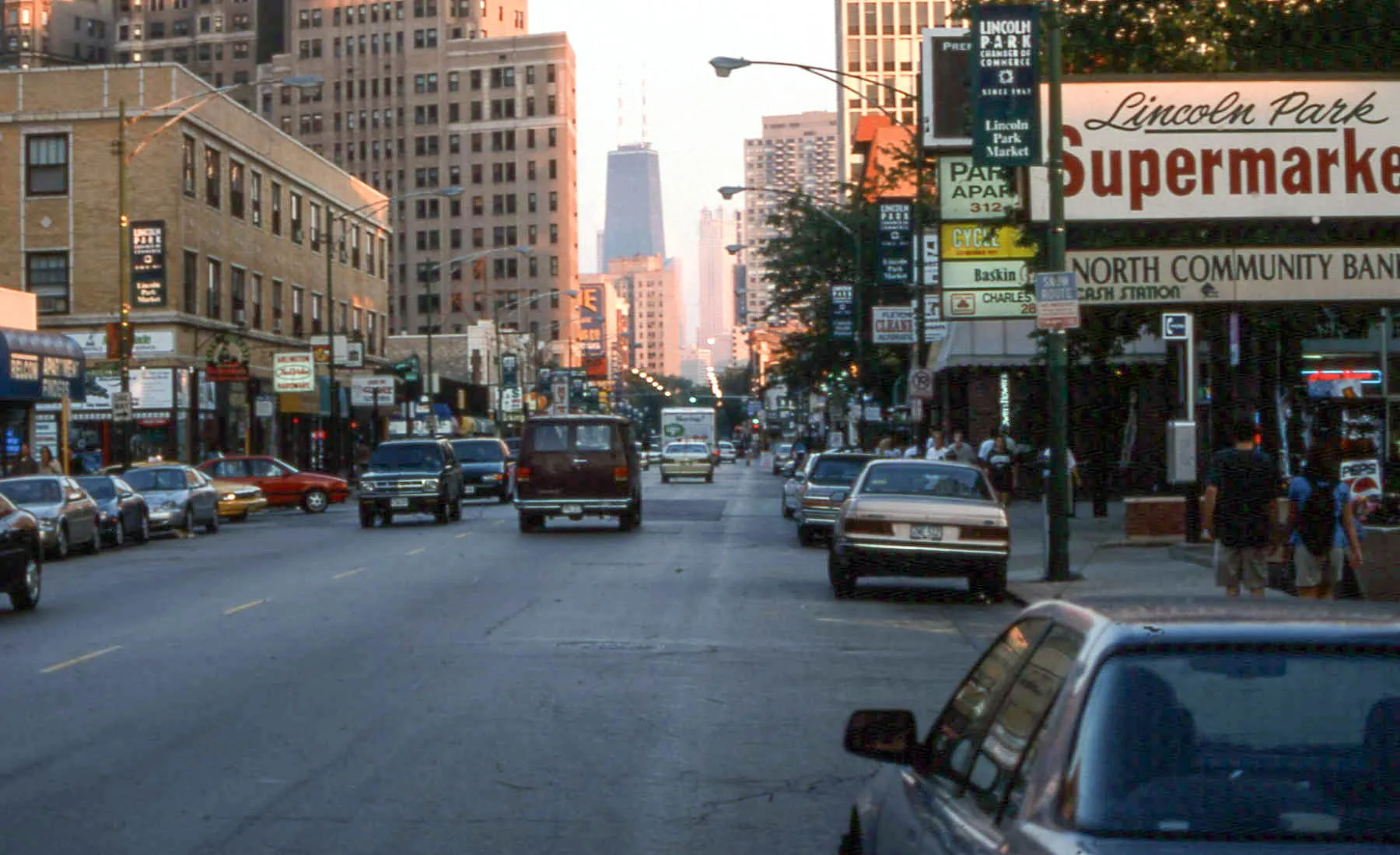
North Clark Street in Edgewater, Chicago, Illinois
North Clark Street in Edgewater in Chicago is a two-lane, asphalted, lit secondary road. The street has bike paths in some sections. It runs in a north-south direction and crosses North Rogers Avenue, West Albion Avenue, West Arthur Avenue, North Ashland Avenue, West Devon Avenue, West Highland Avenue, West Rosemont Avenue, West Thome Avenue, West Granville Avenue, West Hood Avenue, West Glenlake Avenue and West Norwood Street. It connects Edgewater, Lincoln Park, Near North Side, Rogers Park, Lake View and Uptown. North Clark Street is also known as Clark Street, Chicago. This street is part of the Bicycle route "Downtown - Evanston". Nearby you can find among others 11 restaurants, 3 clothing stores, 3 bars and 3 antique stores. The nearest stops include Clark & Thorndale, Clark & Ridge, Clark & Bryn Mawr, Clark & Hollywood and Clark & Edgewater. The bus lines 22, 50 and N22 serve this stop. Ⓦ.
- Bicycle
- use side path
- Road Type
- secondary road
- Lanes
- 3
- Route
- north-south
Image
Bakeries
Banks
Jewelry stores
Beauty salons
Fast food restaurants
Cafes
Bus stops
- bus lines 22, 50, N22
Restaurants
Clothing stores
Music stores
Ice cream shops
Streets nearby
West Thorndale AvenueShops nearby
Former StarbucksApartment buildings nearby
Peterson PlazaBanks nearby
Old National BankBars nearby
Barrelman TavernBuildings nearby
Chicago Futsal AcademyFast food restaurants nearby
White CastleFire stations nearby
Chicago Fire Department Engine Company 70Motels nearby
Heart O' Chicago MotelPlaces of worship nearby
Immanuel Evangelical Lutheran ChurchRailways nearby
UP Kenosha SubdivisionResidential buildings nearby
Edgewater PlaceRetail areas nearby
Andersonville Commercial Historic DistrictSchool buildings nearby
Nicholas Senn High SchoolStudios nearby
Experimental Sound StudioTheaters nearby
Raven TheatreTrain stations nearby
Peterson/Ridge Metra Station| Named after | George Rogers Clark |
|---|---|
| Located in | Chicago |
| Country | United States |
| Railway | |
| Bus | |
| Streetcar |
| Bike path | |
| Bike lane on roadway | |
| Cycling allowed on bus lane | |
| Bicycle street | |
| Open to cyclists | |
| Open to cyclists, good path | |
| Cycling prohibited | |
| Cobblestone |
| Long-distance bike route | (depending on scale) | |
| Long-distance bike route |
| Path |
| Long-distance hiking trail | (depending on scale) | |
| Long-distance hiking trail | ||
| Pedestrians prohibited |