
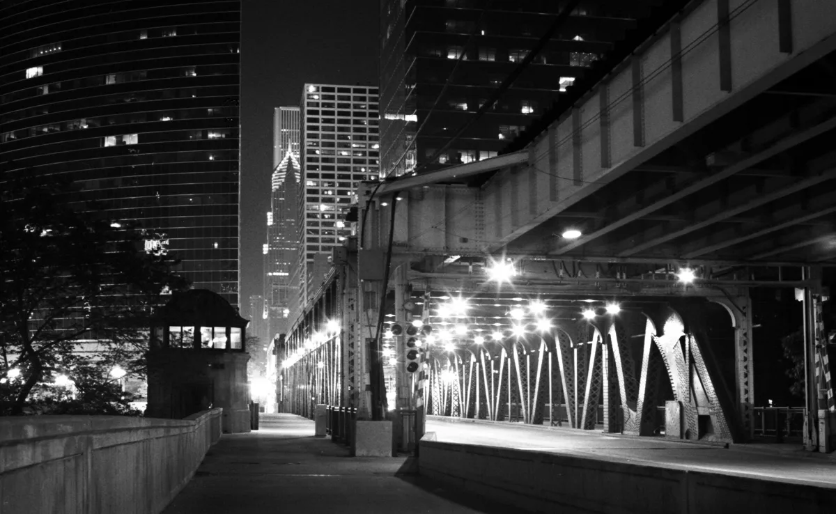
West Lake Street in Chicago Loop
West Lake Street in Loop in Chicago is a four-lane, asphalted secondary road. It runs in an east-west direction and crosses North Lorel Avenue, North Lockwood Avenue, North Latrobe Avenue, North Lotus Avenue, North Long Avenue, North Cicero Avenue, North Pine Avenue, West Corcoran Place, North Kilpatrick Avenue, North Kenton Avenue, North Kilbourn Avenue and North Kostner Avenue. It connects Near West Side, Austin, West Garfield Park, Loop and East Garfield Park. Nearby you can find among others 7 fast food restaurants, 3 restaurants, 2 convenience stores and 2 cafes. The nearest stops are State/Lake (Closed) and Clark/Lake. The subway lines Blue, Brown, Green, Orange, Pink and Purple as well as the bus lines 120 and 125 serve this stop. Ⓦ.
- Road Type
- secondary road
- Lanes
- 4
- Route
- east-west
Image
Stations
- subway lines Blue, Brown, Green, Orange, Pink, Purple
- bus lines 120, 125
Cafes
Pubs
Fast food restaurants
Restaurants
Convenience stores
Stationery stores
Subway stops
- subway lines Blue, Brown, Green, Orange, Pink, Purple
Streets nearby
West Couch Place / James Nederlander WayBuildings nearby
CTA East Lake SubstationApartment buildings nearby
200 N DearbornArtworks nearby
Loop Da LoopCafes nearby
Coco BarCommercial buildings nearby
Page Brothers BuildingDormitories nearby
Art Institute DormitoryFountains nearby
Vietnam Veterans FountainHotels nearby
Renaissance Chicago Downtown HotelMarinas nearby
Downtown DocksOffice buildings nearby
Leo Burnett BuildingParking lots nearby
Theater District Self ParkParks nearby
The MarinaPlaces of worship nearby
Seventeenth Church of Christ ScientistResidential buildings nearby
Butler BuildingRestaurants nearby
Smith & WollenskyService buildings nearby
Dearborn Street BridgehouseStudios nearby
ABC BuildingTechnical colleges nearby
Harold Washington CollegeTheaters nearby
Chicago Theatre| Named after | Lake Michigan |
|---|---|
| Located in | Chicago |
| Country | United States |
| Railway | |
| Bus | |
| Streetcar |
| Bike path | |
| Bike lane on roadway | |
| Cycling allowed on bus lane | |
| Bicycle street | |
| Open to cyclists | |
| Open to cyclists, good path | |
| Cycling prohibited | |
| Cobblestone |
| Long-distance bike route | (depending on scale) | |
| Long-distance bike route |
| Path |
| Long-distance hiking trail | (depending on scale) | |
| Long-distance hiking trail | ||
| Pedestrians prohibited |