
Devon Avenue in O'Hare, Chicago, Illinois
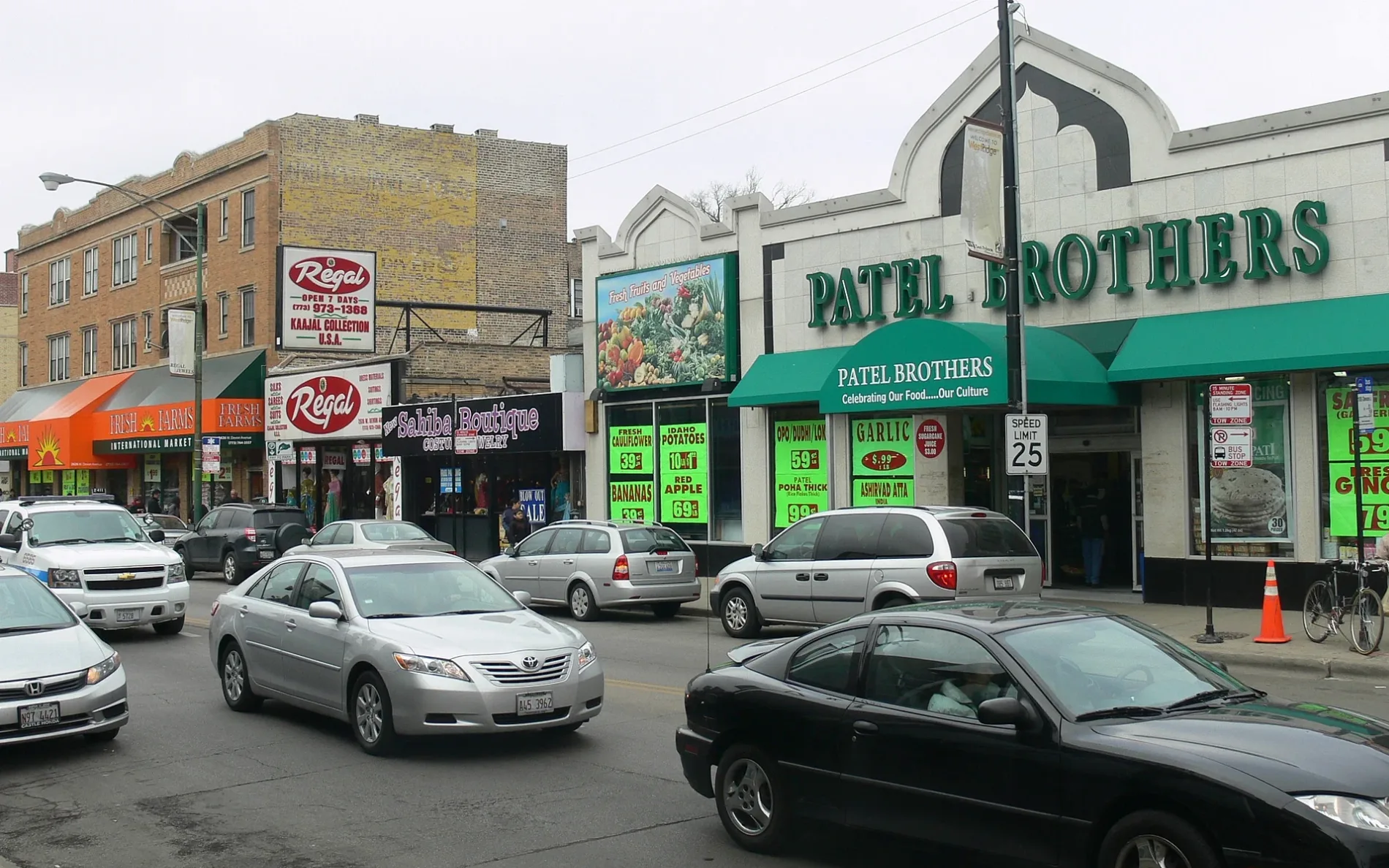
Devon Avenue in O'Hare in Chicago is a five-lane secondary road. It runs in an east-west direction and ends at York Road, while the other end is a cul-de-sac. Devon Avenue is also known as Devon. Ⓦ.
- Road Type
- secondary road
- Lanes
- 5
- Postal Code
- 60191
- Route
- east-west
Image
Newsstands
Police stations
Bus stops
- bus lines 223-E
Bakeries
Restaurants
Bars
Jewelry stores
ATMs
Tourist information centers
Convenience stores
Fast food restaurants
Public toilets
Streets nearby
York Road0.1 mi
Delta LaneCeramic Supply Chicago
0.2 mi
Northwest Road0.3 mi
American Lane0.3 mi
O'Hare West Bypass0.3 mi
United Lane0.4 mi
Tank Farm Road0.4 mi
Eastern Avenue0.5 mi
Pan Am Boulevard0.5 mi
Nicholas Boulevard0.5 mi
South Elmhurst RoadChina Wok, Verizon, Elmhurst & Devon, Elmhurst & Landmeier, Elmhurst & Greenleaf, Elmhurst & Touhy, Shreeji Grocers, DN Liquors, Care For Soul, Inc., Big House, Master Craft Cleaners, Evolution Music, Mexico 2000 #3, Papa Ray's Pizza and Wings, Shave Legends, Euro Grill, T-Mobile, EVgo, America's Best Carwash, America's Best Car Wash, Meineke, Elmhurst & Devonshire, Elmhurst & Arthur, Elmhurst & Lunt, Elmhurst & Washington, Elmhurst & Oakton
0.5 mi
Arthur Avenue0.5 mi
Frontier Way0.5 mi
Coyle Avenue0.6 mi
Pratt BoulevardElmhurst & Pratt
0.6 mi
Devon Avenue2052 Devon Ave, Devon & Ellis, Devon & Brickvale, Devon & Nicholas
0.6 mi
Supreme Drive0.6 mi
North York RoadIrving Park & York
0.7 mi
North Ellis Street0.7 mi
Brickvale Drive0.7 mi
Lunt Avenue0.7 mi
Carmen Drive0.7 mi
Thomas Drive0.7 mi
Greenleaf AvenueSubway
0.8 mi
Buildings nearby
EdgeConneX CHI010.7 mi
EdgeConneX CHI020.8 mi
Buildings nearby
Guard Post 2A0.3 mi
Faa Localizer Building Site (32L)0.3 mi
FAA Localizer Building 9C0.4 mi
Fuel Farm Pump House0.4 mi
Guard Post 20.5 mi
Pump House0.6 mi
CDA Building 7860.6 mi
CDA Building 7850.7 mi
Gas stations nearby
Thorntons300 ft
Fuel Station0.6 mi
Hangars nearby
AAL Maintenance Facility0.6 mi
Industrial areas nearby
FAA RTR Facility0.4 mi
Industrial buildings nearby
Moran0.3 mi
Agi Building (Lockheed Building)0.4 mi
United Airlines GEM0.4 mi
PSP Logistics, Inc.0.5 mi
Cavalier Logistics / Pitney Bowes0.6 mi
Geodis / Dachser0.6 mi
American Airlines GEM0.6 mi
Railways nearby
UP Milwaukee Subdivision0.2 mi
Northwest Bridge Subdivision0.4 mi
Streams nearby
Willow Creek0.4 mi
Waters nearby
LGK0.6 mi
Other nearby
AAL Service Ramp0.6 mi
| Named after | Devon |
|---|---|
| Located in | Chicago, West Ridge |
| Postal code | 60645 |
| Country | United States |
 Public transit map O'Hare Legend
| Railway | |
| Bus | |
| Streetcar |
 Bicycle map O'Hare Legend
| Bike path | |
| Bike lane on roadway | |
| Cycling allowed on bus lane | |
| Bicycle street | |
| Open to cyclists | |
| Open to cyclists, good path | |
| Cycling prohibited | |
| Cobblestone |
| Long-distance bike route | (depending on scale) | |
| Long-distance bike route |
 Pedestrian map O'Hare Legend
| Path |
| Long-distance hiking trail | (depending on scale) | |
| Long-distance hiking trail | ||
| Pedestrians prohibited |