
West Grand Avenue in Chicago
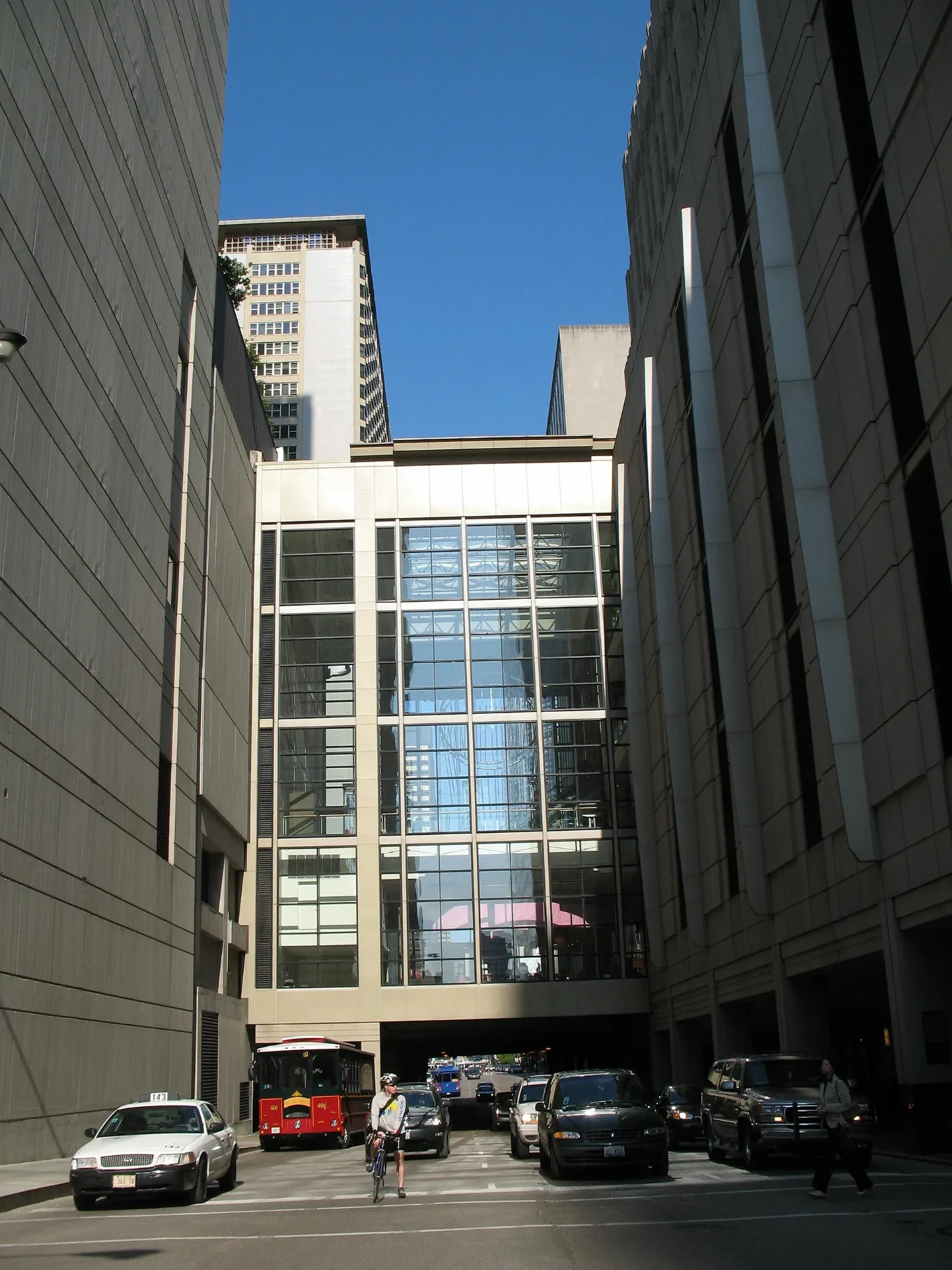
West Grand Avenue in Chicago is a two-lane, asphalted secondary road. It runs in an east-west direction and crosses North Halsted Street, North Green Street, North Carpenter Street, North Aberdeen Street, North Ogden Avenue, North Elizabeth Street, North Ada Street, North Bishop Street, North Armour Street, North Ashland Avenue, North Hermitage Avenue and North Hartland Court. It connects Belmont Cragin, Chicago, Near North Side, Montclare and Austin. This street is part of the Bicycle route "Downtown - Damer Avenue - Humboldt Park". Nearby you can find among others 13 restaurants, 4 fast food restaurants, 4 bars and 4 places of worship. The nearest stops include Grand & Karlov, 530 W Grand, Grand & Desplaines, Grand & Ashland and Grand & Racine. The bus lines 52, 65 and 82 serve this stop. West Grand Avenue also exists in Leyden Township. Ⓦ.
- Road Type
- secondary road
- Lanes
- 2
- Speed Limit
- 20 mph
- Route
- east-west
Image
Delis
Cafes
Fast food restaurants
Bus stops
- bus lines 52, 65, 82
Restaurants
Streets nearby
West Le Moyne StreetBuildings nearby
Springfield Pumping StationApartment buildings nearby
Bloomingdale ApartmentsBanks nearby
Old National BankBuildings nearby
Pioneer Arcade BuildingConvenience stores nearby
CitgoDrugstores nearby
WalgreensFast food restaurants nearby
Jimmy's Red HotsFire stations nearby
Chicago Fire Department Engine Company 76Gas stations nearby
BPOffice buildings nearby
Former Pioneer Trust and Savings Bank BuildingParks nearby
Kedvale ParkPlaces of worship nearby
Incarnation Lutheran ChurchRailways nearby
C&M SubdivisionSchool buildings nearby
West Park Academy of Fine ArtsSelf storages nearby
Extra Space StorageSocial facilities nearby
North & Pulaski ApartmentsSports centers nearby
Kedvale Park FieldhouseSupermarkets nearby
North Pulaksi Fresh MarketThrift stores nearby
The Salvation ArmyOther nearby
Beat 2534| Located in | Illinois |
|---|---|
| Country | United States |
| Railway | |
| Bus | |
| Streetcar |
| Bike path | |
| Bike lane on roadway | |
| Cycling allowed on bus lane | |
| Bicycle street | |
| Open to cyclists | |
| Open to cyclists, good path | |
| Cycling prohibited | |
| Cobblestone |
| Long-distance bike route | (depending on scale) | |
| Long-distance bike route |
| Path |
| Long-distance hiking trail | (depending on scale) | |
| Long-distance hiking trail | ||
| Pedestrians prohibited |