
Devon Avenue in Des Plaines, Illinois
Devon Avenue in Des Plaines is an asphalted, lit secondary road. It runs in an east-west direction starting from West Higgins Road and crosses Stillwell Drive and Patton Drive. It ends in a cul-de-sac. Devon Avenue is also known as Devon. The nearest stop is Devon & Patton. The bus line 230 stops here. Devon Avenue also exists in Rosemont. Ⓦ.
- Road Type
- secondary road
- Route
- east-west
Image
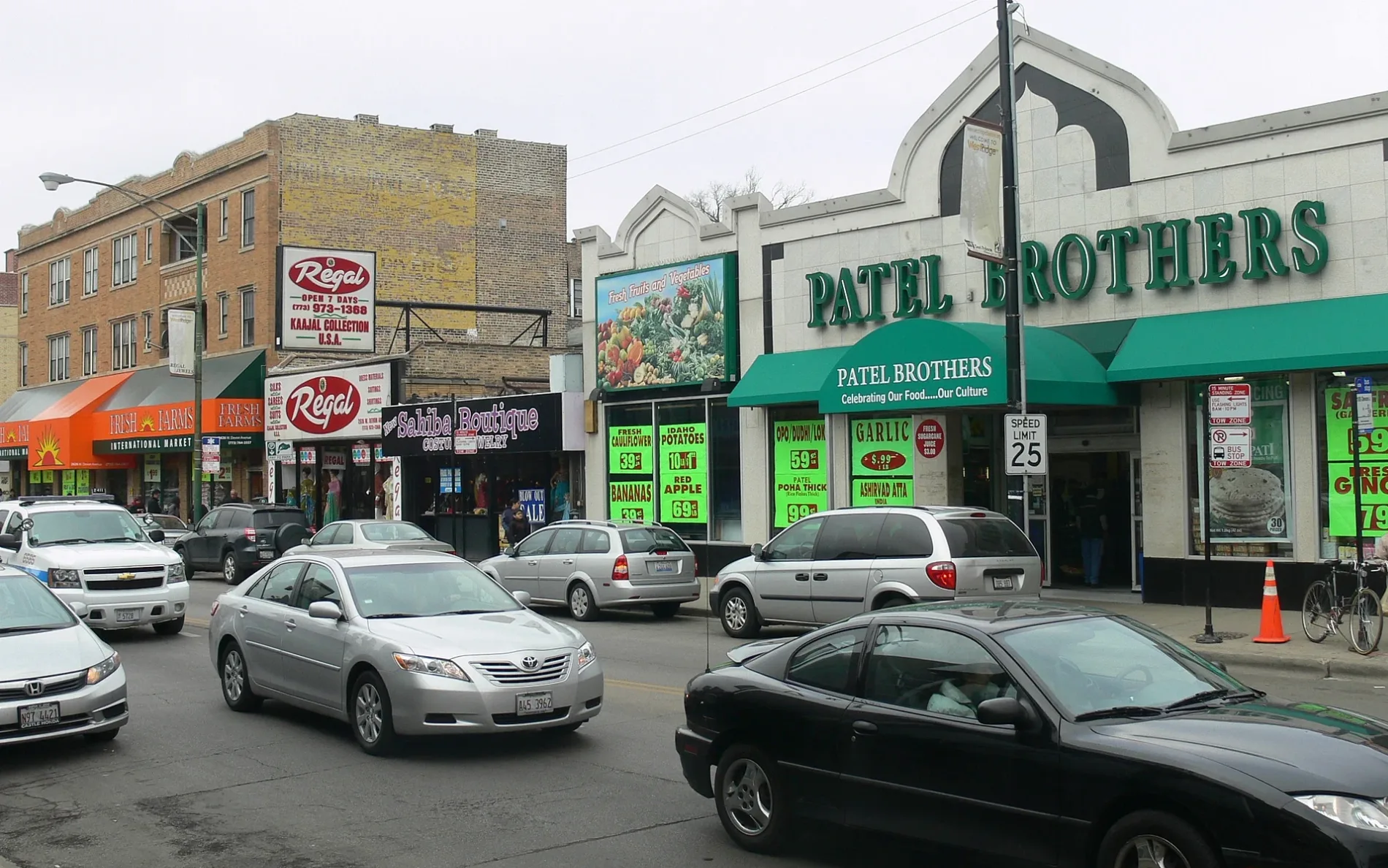
Bus stops
- bus lines 230
Streets nearby
West Higgins RoadHiggins & Mannheim, FedEx Office, Cilantro Taco Grill, Higgins & Patton, Stan's Donuts & Coffee, Big Chicken, 9700 W Higgins Rd, Higgins & River Road, Rosemont Post Office, Museum of Hummels, Higgins & Gage
150 ft
Jane Addams Memorial TollwayRiver Road Toll Plaza
250 ft
South Lane0.1 mi
Sunset DriveSunset & Stillwell, Sunset & Scott
0.1 mi
Rosemont Street0.1 mi
West Devon Avenue0.2 mi
Hope Drive0.2 mi
Stillwell DriveStillwell & Sunset
0.2 mi
East Craig Drive0.2 mi
Estelle Drive0.2 mi
Patton Drive0.3 mi
West Devon Court0.3 mi
Byron Street0.3 mi
Granville Street0.3 mi
Kirschoff Road0.3 mi
North Hawthorne Street0.3 mi
Scott StreetScott & Sunset, Scott & Halsey/Alpine, Scott & Nimitz, Scott & Pratt
0.3 mi
North Scott StreetRosemont
0.3 mi
Balsam Lane0.3 mi
5th Park Avenue0.3 mi
Alpine LaneScott & Alpine Halsey
0.4 mi
Graff Drive0.4 mi
Rental Car ReturnRental Car Parking
0.4 mi
Norwood Street0.4 mi
North Emerson Street0.4 mi
Ruby Street0.4 mi
F Parking EntranceO'Hare Economy Lot F
0.4 mi
Coffey RoadO'Hare Transfer, Metra
0.5 mi
Orchard Place0.5 mi
Brodie RoadO'Hare Multi-Modal Facility, Sixt, Thrifty, Alamo, Payless, National, Hertz, Enterprise, Dollar Car Rental, Budget, Avis, Rideshare Pickup Area
0.5 mi
Mannheim RoadMannheim & Irving Park
0.5 mi
Apartment buildings nearby
Village Manor Apartments0.3 mi
Buildings nearby
Meter House0.5 mi
Construction sites nearby
New Rosemont Elementary School0.4 mi
Dog parks nearby
Service Animal Relief Area0.5 mi
Fire stations nearby
Rosemont Fire Department Station 20.3 mi
Hotels nearby
Sonesta Chicago O'Hare Airport Rosemont0.4 mi
Light rail lines nearby
Airport Transit System (ATS)0.5 mi
O'Hare Airport Transit System0.5 mi
Office buildings nearby
Northwest Plaza0.2 mi
Wintrust0.2 mi
O'Hare International Center0.4 mi
Parks nearby
Seminole Park0.1 mi
Places of worship nearby
Our Lady of Hope Catholic Church0.1 mi
Railways nearby
CN Waukesha Subdivision0.4 mi
Sports centers nearby
Rosemont Health & Fitness Center0.3 mi
Streams nearby
Willow Creek0.3 mi
Train stations nearby
O'Hare Transfer Metra Station0.4 mi
Transportation buildings nearby
O'Hare Multi-Modal Facility0.5 mi
| Named after | Devon |
|---|---|
| Located in | Chicago, West Ridge |
| Postal code | 60645 |
| Country | United States |
Public transit map Des Plaines Legend
| Railway | |
| Bus | |
| Streetcar |
Bicycle map Des Plaines Legend
| Bike path | |
| Bike lane on roadway | |
| Cycling allowed on bus lane | |
| Bicycle street | |
| Open to cyclists | |
| Open to cyclists, good path | |
| Cycling prohibited | |
| Cobblestone |
| Long-distance bike route | (depending on scale) | |
| Long-distance bike route |
Pedestrian map Des Plaines Legend
| Path |
| Long-distance hiking trail | (depending on scale) | |
| Long-distance hiking trail | ||
| Pedestrians prohibited |