
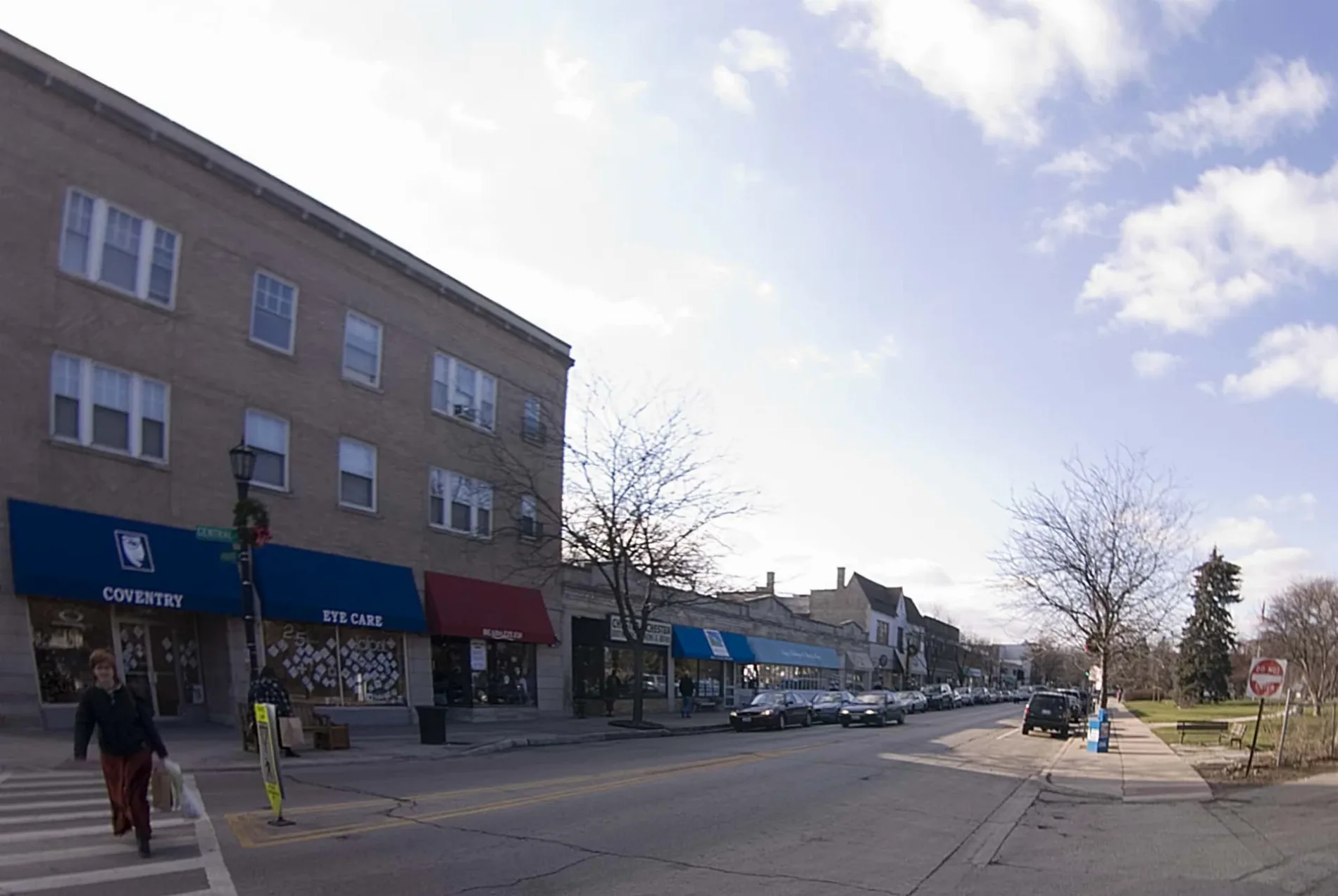
East Central Road in Des Plaines, Illinois
East Central Road in Des Plaines is a secondary road. The street has bike paths (bike lane). It runs in an east-west direction and crosses Circle Drive. Nearby you can find a hair salon and a convenience store. The nearest bus stop is Oakton Community College (about 500 m away). East Central Road also exists in Elk Grove Township. Ⓦ.
- Road Type
- secondary road
- Bike Lane
- lane
- Route
- east-west
Image
Streets nearby
Circle DriveOakton Community College
0.3 mi
Des Plaines River Trail Green Unpaved Spur (North)Beck Lake Trail Access
0.5 mi
Teela Lane0.5 mi
Beck Lake Access Road0.5 mi
North East River Road0.5 mi
College Drive0.6 mi
Country Lane0.6 mi
Leslie Court0.6 mi
Oak Trails Road0.7 mi
Tri-State TollwayGolf Road Toll Plaza
0.7 mi
East River Road0.7 mi
Zenith Drive0.7 mi
Nazareth Way0.7 mi
Culver Street0.7 mi
Maryville Drive0.8 mi
Forest Place0.8 mi
Walton Street0.8 mi
Lyman AvenueLyman & Harrison, Lyman & Central, Lyman & Culver
0.8 mi
Oak Place0.8 mi
Oak Trail Road0.8 mi
Harrison StreetHarrison & Potter, Harrison & Dee, Harrison & Meadow
0.9 mi
Mulcahey Drive0.9 mi
Holly Lane0.9 mi
Private Drive0.9 mi
North River Road24 S River Road, River Road & Woodland, Saint Mary's Cemetery, Dunkin', Forest Preserve District of Cook County, River Road & Elk, River Road & Pearson, River Road & Perry, River Road & Golf, 3000 S River Rd, River Road & Rand, River Road & Miner
0.9 mi
Linda Lane0.9 mi
East Golf RoadGolf & Warrington, Golf & 2nd Avenue, 1250 E Golf Rd, Forest Preserve District of Cook County, Golf & Mary, Golf & River Road, Golf & College Drive
0.9 mi
Des Plaines River Trail Yellow UnpavedLake Avenue Woods-East Trail Access, Allison Woods Trail Access, River Trail Nature Center Trail Access
0.9 mi
Lions Woods Access Road1.0 mi
Gregory Street1.0 mi
Mary Street1.0 mi
Redeker Road1.0 mi
North Graylynn Drive1.0 mi
Apartment buildings nearby
The Monarch0.9 mi
Dog parks nearby
Beck Lake Dog Park0.7 mi
Drains nearby
Feehanville Ditch0.7 mi
Golf courses nearby
Golf Center Des Plaines0.7 mi
Industrial buildings nearby
Park & Facility Services-West0.8 mi
Nature reserves nearby
Kloempken Prairie Preserve0.8 mi
Picnic areas nearby
Lions Woods Grove #10.9 mi
Places of worship nearby
Holy Family Convent0.8 mi
Railways nearby
UP Milwaukee Subdivision0.9 mi
Residential areas nearby
Courtyards on the Park0.8 mi
Rivers nearby
Des Plaines River0.6 mi
Sports fields nearby
Mustang0.8 mi
Colt0.8 mi
Bronco0.8 mi
Technical colleges nearby
Margaret Burke Lee Science and Health Careers Center0.2 mi
Other nearby
Holy Family Medical Center Heliport0.9 mi
| Located in | Evanston |
|---|---|
| Country | United States |
Public transit map Des Plaines Legend
| Railway | |
| Bus | |
| Streetcar |
Bicycle map Des Plaines Legend
| Bike path | |
| Bike lane on roadway | |
| Cycling allowed on bus lane | |
| Bicycle street | |
| Open to cyclists | |
| Open to cyclists, good path | |
| Cycling prohibited | |
| Cobblestone |
| Long-distance bike route | (depending on scale) | |
| Long-distance bike route |
Pedestrian map Des Plaines Legend
| Path |
| Long-distance hiking trail | (depending on scale) | |
| Long-distance hiking trail | ||
| Pedestrians prohibited |