
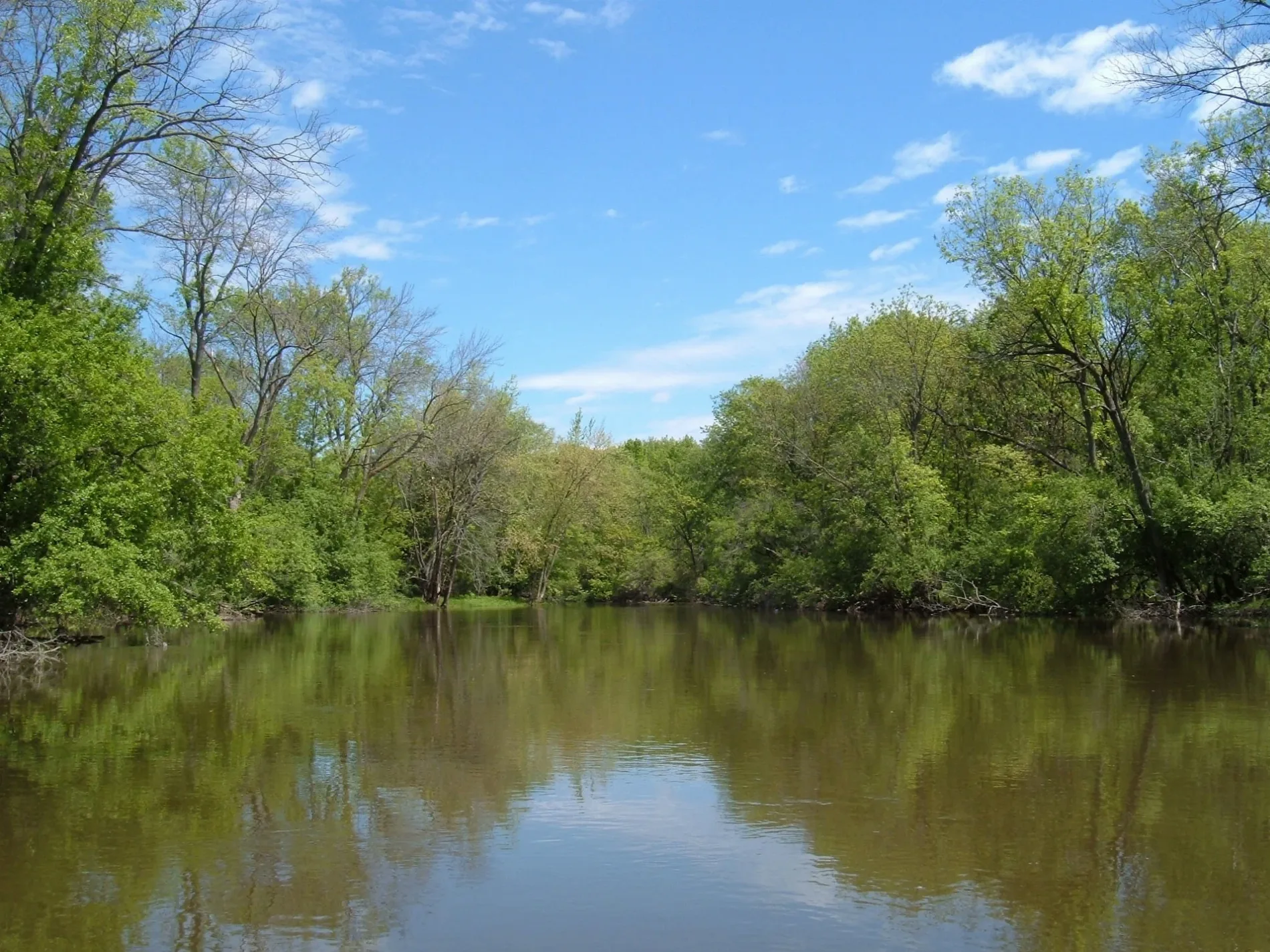
Des Plaines River in Franklin Park, Illinois
Des Plaines River in Franklin Park is a river. Des Plaines River also exists in Schiller Park. Ⓦ.
- Waterway Type
- river
Image
Picnic areas
Cannabis dispensaries
Places of worship
Pharmacies
Produce markets
Bus stops
Veterinary clinics
Platforms
Stations
Liquor stores
Schools
Beauty salons
Streets nearby
Willow StreetChanvre
0.1 mi
Crescent Drive0.2 mi
Robinson Road0.2 mi
Indian Boundary Family Picnic Area Access RoadIndian Boundary Family Picnic Area
0.2 mi
King Street0.3 mi
Birch Street0.3 mi
Schierhorn Court0.3 mi
Ivanhoe Avenue0.3 mi
Lombard Street0.3 mi
Gage Avenue0.3 mi
Martens Street0.4 mi
Des Plaines River Trail Yellow UnpavedSchiller Woods-South Trail Access
0.4 mi
Des Plaines River Road0.4 mi
North Elm Street0.4 mi
West Belmont Avenue0.5 mi
Leyden Court0.5 mi
Bernice Avenue0.5 mi
Leyden Lane0.5 mi
Nerbonne Avenue0.5 mi
Britta Street0.5 mi
Ashland Avenue0.5 mi
Britta Avenue0.5 mi
Davis Avenue0.5 mi
Kimmey Court0.5 mi
Nichols Avenue0.5 mi
Sally Lane0.6 mi
Maple Street0.6 mi
Walnut Street0.6 mi
Hacke Court0.6 mi
Susy Lane0.6 mi
Schiller Woods South Access RoadSchiller Woods-South Grove #15
0.6 mi
Gremley Avenue0.6 mi
West Irving Park Road0.6 mi
Irving Park RoadSchiller Park Fire Department, Schiller Park Police Department, Russo Power Equipment, Irving Park & 25th Avenue, Walgreens, Dunkin', Subway, Irving Park & Kolze
0.7 mi
Byron Street0.7 mi
Jill Lane0.7 mi
Wesley Terrace0.7 mi
Kolze AvenueTacos Locos, Subway, Dunkin', Baskin-Robbins
0.7 mi
Seymour Avenue0.7 mi
Che-Che-Pin-Qua Woods Access RoadChe Che Pin Qua Woods Grove #1
0.7 mi
Convenience stores nearby
BP Shop0.7 mi
Motels nearby
Relax Inn0.3 mi
Super 8 Chicago/Rosemont/O'Hare/SE0.5 mi
Parks nearby
Junction Park0.5 mi
Railways nearby
Waukesha Subdivision0.6 mi
CN Waukesha Subdivision0.6 mi
Residential areas nearby
FPDCC- Watchman Residence0.6 mi
Rivers nearby
Des Plaines River0.7 mi
Train stations nearby
Belmont Avenue / Franklin Park0.5 mi
Warehouses nearby
Unilogic0.4 mi
| Length | 241 |
|---|---|
| Elevation | 152 m |
| Located in | Illinois, Wisconsin |
| Country | United States |
| Mouth | Illinois River |
| Tributary | DuPage River, Chicago Sanitary and Ship Canal, Buffalo Creek, Salt Creek |
 Public transit map Franklin Park Legend
| Railway | |
| Bus | |
| Streetcar |
 Bicycle map Franklin Park Legend
| Bike path | |
| Bike lane on roadway | |
| Cycling allowed on bus lane | |
| Bicycle street | |
| Open to cyclists | |
| Open to cyclists, good path | |
| Cycling prohibited | |
| Cobblestone |
| Long-distance bike route | (depending on scale) | |
| Long-distance bike route |
 Pedestrian map Franklin Park Legend
| Path |
| Long-distance hiking trail | (depending on scale) | |
| Long-distance hiking trail | ||
| Pedestrians prohibited |