
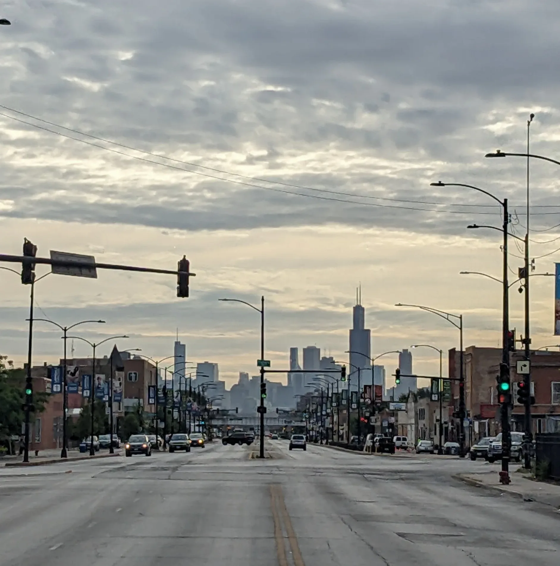
East Ogden Avenue in Lyons Township, Illinois
East Ogden Avenue in Cook County is a three-lane, lit main road (Road number US 34) and it crosses a bridge. It runs in an east-west direction and crosses North Gilbert Avenue, West Ogden Avenue, Harvey Avenue, Clausen Avenue, Ellington Avenue, Howard Avenue, Franklin Avenue, Johnson Avenue, Wolf Road, Lawn Avenue, Grand Avenue and Woodland Avenue. It connects Proviso Township, Lyons Township, Western Springs and La Grange Park. This street is part of the highway "34". Ⓦ.
- Road Type
- main road
- Lanes
- 3
- Operator
- Illinois Department of Transportation
- Route
- east-west
Image
Streets nearby
Bob O Link Drive0.1 mi
Tri-State Tollway0.2 mi
39th Street0.2 mi
Mills Street0.2 mi
Western Avenue0.2 mi
Justina Street0.2 mi
Salt Creek Red Unpaved Trail0.3 mi
Fuller Road0.3 mi
Spinning Wheel RoadStrategic Prevention
0.3 mi
Rose Avenue0.3 mi
County Line Road0.3 mi
North Oak Street0.3 mi
Jefferson Street0.4 mi
East Ogden AvenueFullersburg, Starbucks
0.4 mi
Minneola Street0.4 mi
Garden Avenue0.4 mi
Salt Creek Lane0.4 mi
Forest Avenue0.4 mi
Fox Lane0.4 mi
Salt Creek Tan Unpaved Trail0.4 mi
Bemis Woods South Purple Trail0.4 mi
Franklin Street0.5 mi
Indian Trail Road0.5 mi
Salt Creek Green Unpaved Trail0.5 mi
Hawthorne Lane0.5 mi
Grove Avenue0.5 mi
Old Mill Road0.5 mi
The Lane0.5 mi
Salt Creek Orange Unpaved Trail0.5 mi
Walnut Street0.5 mi
Maple StreetOld Town North
0.5 mi
Hampton Avenue0.6 mi
Race Street0.6 mi
Salt Creek Blue Unpaved Trail0.6 mi
Oak Street0.6 mi
Sunset Terrace0.6 mi
Circle Drive0.6 mi
Central Avenue0.7 mi
Apartment buildings nearby
Spinning Wheel Apartments0.3 mi
Attractions nearby
GoApe Ropes Course0.6 mi
Banks nearby
Chase0.3 mi
Buildings nearby
Edward-Elmhurst Health Center and Immediate Care - Hinsdale0.4 mi
Parks nearby
Sereda Park0.3 mi
Laidlaw Park0.6 mi
Picnic areas nearby
Bemis Woods South Picnic Shelter Grove 70.5 mi
Bemis Woods South Picnic Shelter Grove 60.5 mi
Bemis Woods South Picnic Shelter Grove 50.7 mi
Places of worship nearby
The Chapel0.4 mi
Sports fields nearby
Gaga Ball Pit at The Chapel0.4 mi
Supermarkets nearby
Whole Foods Market0.1 mi
| Named after | William Butler Ogden |
|---|---|
| Length | 37.5 |
| Located in | Chicago |
| Country | United States |
Public transit map Lyons Township Legend
| Railway | |
| Bus | |
| Streetcar |
Bicycle map Lyons Township Legend
| Bike path | |
| Bike lane on roadway | |
| Cycling allowed on bus lane | |
| Bicycle street | |
| Open to cyclists | |
| Open to cyclists, good path | |
| Cycling prohibited | |
| Cobblestone |
| Long-distance bike route | (depending on scale) | |
| Long-distance bike route |
Pedestrian map Lyons Township Legend
| Path |
| Long-distance hiking trail | (depending on scale) | |
| Long-distance hiking trail | ||
| Pedestrians prohibited |